The GEO Post-2025 Strategy calls for a transformative GEO Work Programme that focuses on co-producing Earth Intelligence solutions to address complex global challenges. This approach aims to evolve GEO from primarily facilitating Earth observation data access to actively developing user-driven, integrated tools that inform strategic decisions and empower society. Explore GEO's solutions to global challenges below.
Agriculture and Food Security
Agriculture and Food Security represents the crucial link between sustainable agriculture and global food security, aiming to boost agricultural productivity, stabilise food supplies and reduce malnutrition.
Agriculture and Food Security represents the crucial link between sustainable agriculture and global food security, aiming to boost agricultural productivity, stabilise food supplies and reduce malnutrition.
Water and Land Sustainability involves examining the interactions and interdependencies between water and land to promote their sustainable use, ensuring long-term resource availability and security.
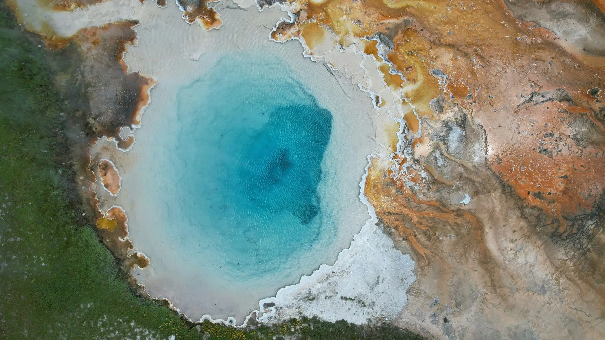
Ecosystems, Biodiversity and Carbon Management addresses the urgent need to halt biodiversity loss and ecosystem degradation. Earth observations, combined with artificial intelligence, machine learning, and ground-truthing, support habitat mapping, impact assessment, and the development of metrics to track progress.
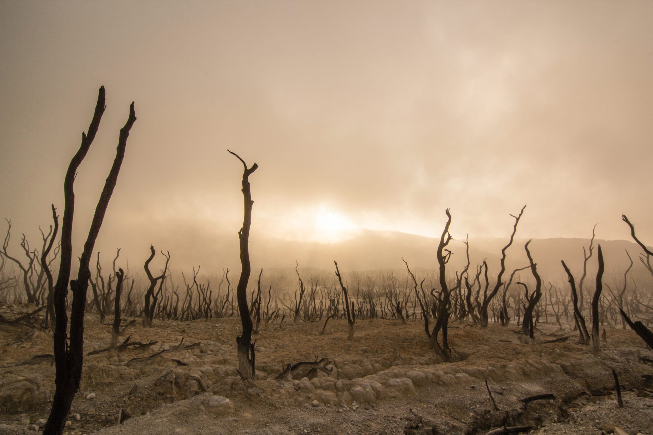
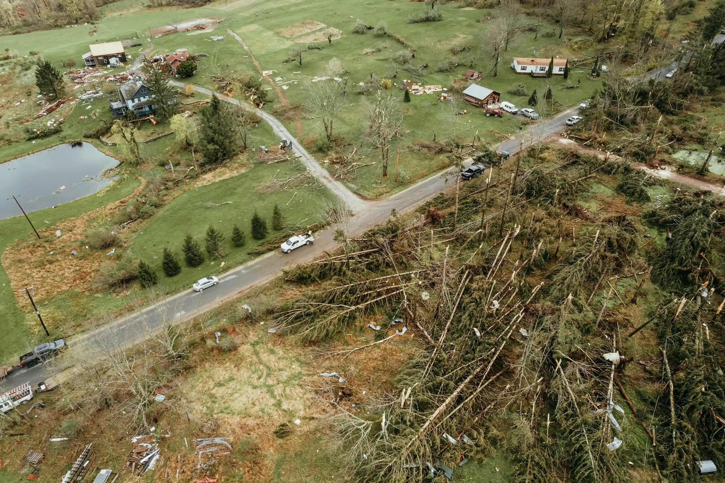
Weather, Hazard and Disaster Resilience is a key priority, as hazards such as severe weather, pandemics, and security threats hinder economic and social progress. Building systems to anticipate, respond to, and recover from such events is essential for sustainable development.
Climate, Energy and Urbanisation addresses the interconnected challenges of climate change, energy use and urbanisation through Earth observations, focusing on localised adaptation, mitigation and resilience strategies.
One Health is an interdisciplinary approach that addresses global health challenges by recognising the interconnectedness of human, animal, and environmental health. It promotes cross-sector collaboration to improve decision-making and interventions.
Community Impact emphasises GEO’s commitment to “Earth Intelligence for All” by embedding equity and inclusion across its activities and Thematic Focus Areas. This involves delivering actionable information to historically marginalised countries, regions and communities, while ensuring diverse representation, including Indigenous Peoples and Youth.
A step toward realizing the massive untapped potential for GEO and GEO Youth to mutually benefit from critical, deliberate engagement with one another.
Fostering collaboration and strengthening the networks of women’s participation in marginalized communities within these fields is essential for building a collaborative, accessible Earth data ecosystem
GEO-IA contributes to a more inclusive, equitable, and sustainable approach to Earth observation initiatives that benefit Indigenous communities, the scientific community, and global efforts to harmoniously coexist with our planet.
Open data, Knowledge and Infrastructure is central to GEO’s mission, with its Open Data Sharing Principles and Open Knowledge framework supporting the vision of "Earth Intelligence for All". Ensuring open access to data, tools, and applications is a cross-cutting priority across the GEO Work Programme.
The proposed Artificial Intelligence for Earth Observations Convener (AI4EO) within GEO aims to integrate AI into Earth Intelligence by establishing a network of AI experts across the GEO community.
The Data and Knowledge Working Group (DK-WG) focuses on enhancing the use of Earth observation (EO) data by addressing and sharing data management principles, data policy, and governance issues within the GEO community.
Advancing and operationalizing Digital Earth, at an initial stage, through the Earth Observation (EO) Data Cubes efforts, with a focus on implementing global principles in local contexts
This proposed GEO activity aims to integrate ongoing initiatives between Africa and Europe to facilitate seamless access, sharing, and use of EO data, in alignment with the “EO Intelligence for All” strategy.
This activity aims to establish the GEO UAV Observation Network, integrate it into the GEO infrastructure, collaborate with various GWP working groups, and apply it across multiple fields and countries worldwide.
Application Driver activities ensure that Earth observation data and services are effectively aligned with global policy frameworks and user needs. Focused on bridging data with decision-making, the area supports the integration of Earth observations into implementation processes across diverse sectors.
Brings together the GEO Work Proragmme, DRR and climate change experts to promote the integration of Earth Intelligence into disaster management and climate adaptation and mitigation strategies.
The Resilient Cities and Human Settlements Working Group (RCHS-WG) focuses on integrating Earth observations into urban resilience and sustainable urbanization efforts across cities and human settlements worldwide.