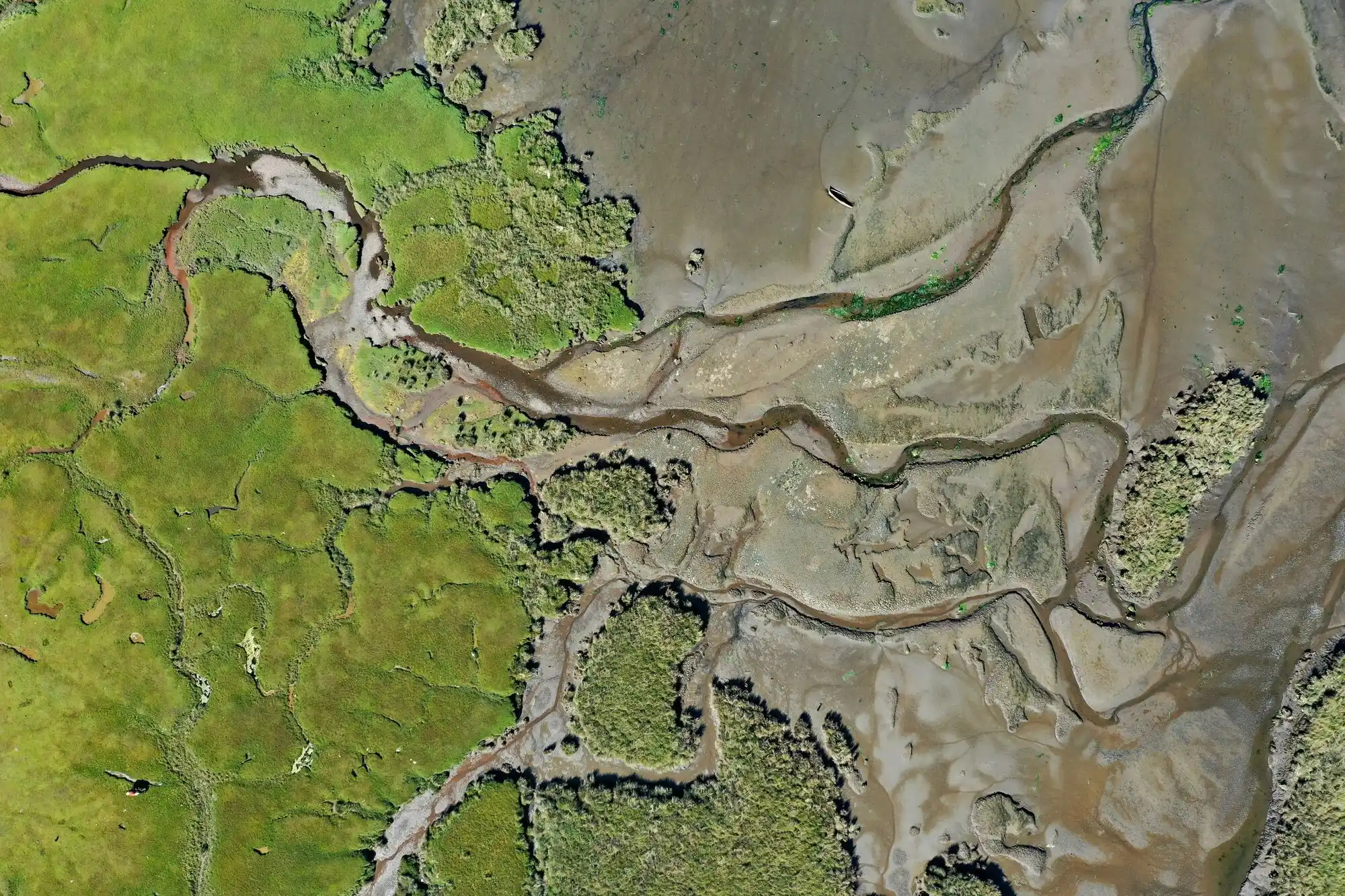
river in the forest

What is Earth Intelligence?

For 20 years, the Group on Earth Observations (GEO) has been at the forefront of advancing the use of Earth observations – satellite data, in-situ measurements and other remote sensing technologies – to support decision-making for a sustainable planet.

But the challenges we face today require more than just access to data to drive real action. This is why GEO has evolved from a focus on Earth observations to the broader, more impactful concept of Earth Intelligence.

As GEO Secretariat Director Yana Gevorgyan explains: 

We’ve pivoted from being just about Earth observations to being about Earth intelligence – delivering it to everyone, everywhere. The transition from data and observations towards intelligence has been intentional because we know that data alone is not driving action.

Moving from Earth Observations to Earth Intelligence

Earth observations provide the raw information, but by themselves they do not lead to decisions that improve lives, protect biodiversity, or mitigate climate and nature risks.

Earth Intelligence is the next step in this process, transforming raw data into actionable insights by integrating Earth and social science, advanced analytics, artificial intelligence, and co-produced knowledge from local and Indigenous communities.

Earth Intelligence represents a shift from simply providing data to ensuring that data is accessible, understandable and useful to decision-makers across all levels, from governments and businesses, from NGOs to local communities. This evolution is central to GEO’s Post-2025 Strategy, which commits to ensuring that data serves as a driver of tangible change rather than just an output.

The value of Earth Intelligence
GEO’s vision for Earth intelligence for all is built on the recognition that informed decisions require more than data; they require the right insights, delivered at the right time in a way that empowers users to act. 
Earth Intelligence in action
Earth intelligence is already making an impact. In efforts to address climate-related disasters, GEO has moved beyond simply providing flood maps to supporting the development of early warning systems that integrate satellite data with local hydrological models, allowing governments to proactively respond to extreme weather events.
In biodiversity conservation, GEO supports the development of ecosystem monitoring platforms that not only track deforestation but also predict areas at risk, helping conservationists take preventive action.
Earth Intelligence for All
By embracing Earth Intelligence, GEO positions itself as a leader in the transition from data collection to meaningful action. Our work builds collaborative, demand-driven solutions that empower decision-makers across sectors to navigate the complexities of the changing planet. 

Explore how Earth Intelligence can drive action for a sustainable future. 

Key Aspects of Earth Intelligence Include:

User-driven insights:
Earth Intelligence is co-created with those who need it most. 
Integration of diverse data sources:
Earth intelligence combines Earth observation data with socio-economic factors, policy contexts and traditional knowledge. 
Accessibility and equity:
GEO’s commitment to Earth intelligence includes ensuring equitable access to insights. 
Actionable outcomes:
The shift to Earth Intelligence focuses on creating decision-ready tools.