
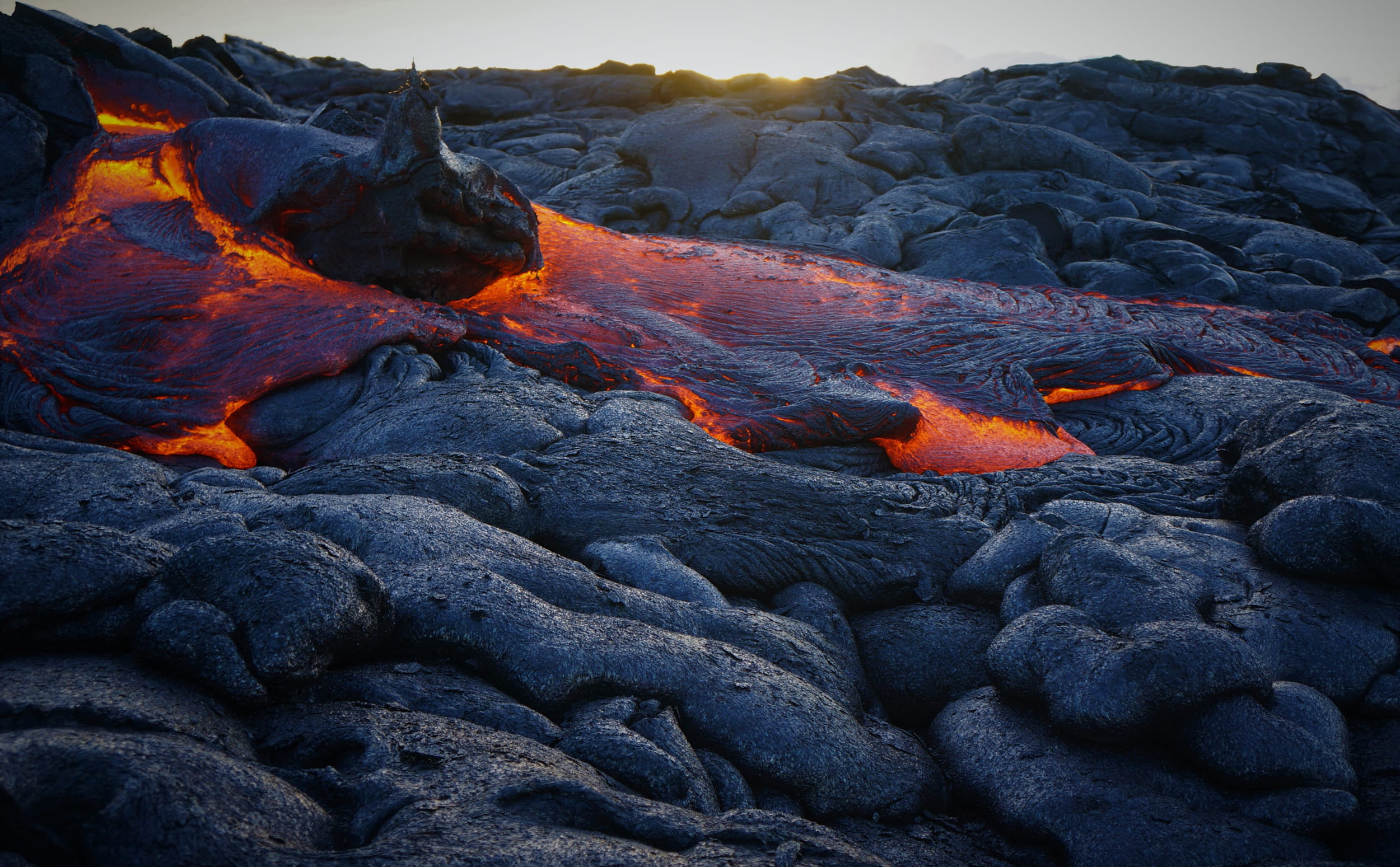
Geohazard Supersites and Natural Laboratories
Challenge
Improve knowledge of seismic and volcanic hazards and deliver state-of-the-art scientific information to appropriate risk management agencies for immediate decision-making in the Prevention and Response phases of Disaster Risk Management (DRM).
Solution
We identify seismic or volcanic areas with strong geohazard levels, incomplete knowledge of geophysical processes, high vulnerability and/or exposure levels (high risk) and establish Geohazard Supersites or Natural Laboratories. Then, within an international collaboration framework, the local monitoring agencies, the CEOS space agencies, and the global scientific community work together, using an Open Science approach, to share EO and in situ data, knowledge, HW/SW resources, and instruments to support the best possible scientific information for hazard knowledge and risk management for local decision-makers. The Supersites are organized in a network to facilitate the sharing of knowledge, methods, data, resources, and researchers.
Intended Socioeconomic and Environmental Impact
The impacts at the scale of the Supersite are improved seismic and volcanic hazard assessment, improved geophysical monitoring, development of improved research/monitoring capacities for local agencies/institutes, increased international collaboration, and reduced loss of life and property during earthquakes and volcanic eruptions.
The general impact of the initiative is to demonstrate the advantages of using the Open Science approach, especially in developing countries, showing that data and knowledge sharing, as well as ethical international collaboration, are fundamental elements for enabling more effective risk management in society.
Objectives for 2025–2030
- We aim to establish a few additional Supersites (2–4), possibly in low-/middle-income countries.
- We will continue our capacity development activities, providing training (at least one training course per year) and HW/SW resources (at least four Virtual Machines for remote data processing/modeling) to support the development of state-of-the-art geohazard monitoring and scientific capacities at Volcano Observatories and geophysical institutes (at least two institutes involved in the training).
- We will continue to collaborate with the CEOS WG on Disasters to ensure that the Supersites are granted large quantities of satellite EO data (over 2,500 SAR images and 50 VHR optical images per year) for their monitoring and scientific needs.
- We will continue to promote the full Open Science approach at all the Supersites, stimulating open data sharing by the Supersite communities.
How We Work
The GSNL Chair and the Steering Committee decide on approval of new Supersites and strategic matters. The Management Board performs operational activities. Satellite data obtained from CEOS space agencies are open to the community via web services/catalogues. In situ data are made openly available by the local agencies. Digital data infrastructures are used as much as possible for easy sharing of information.
According to the procedures of national risk management frameworks, research results of direct use for hazard assessment and risk prevention/reduction are delivered by the Supersite coordinators to decision-makers, who exploit the information received in Prevention and Response activities.
Donors
Partners
GEO Members
Non-affiliated
Points of Contact