
Global Wildfire Information System
Challenge
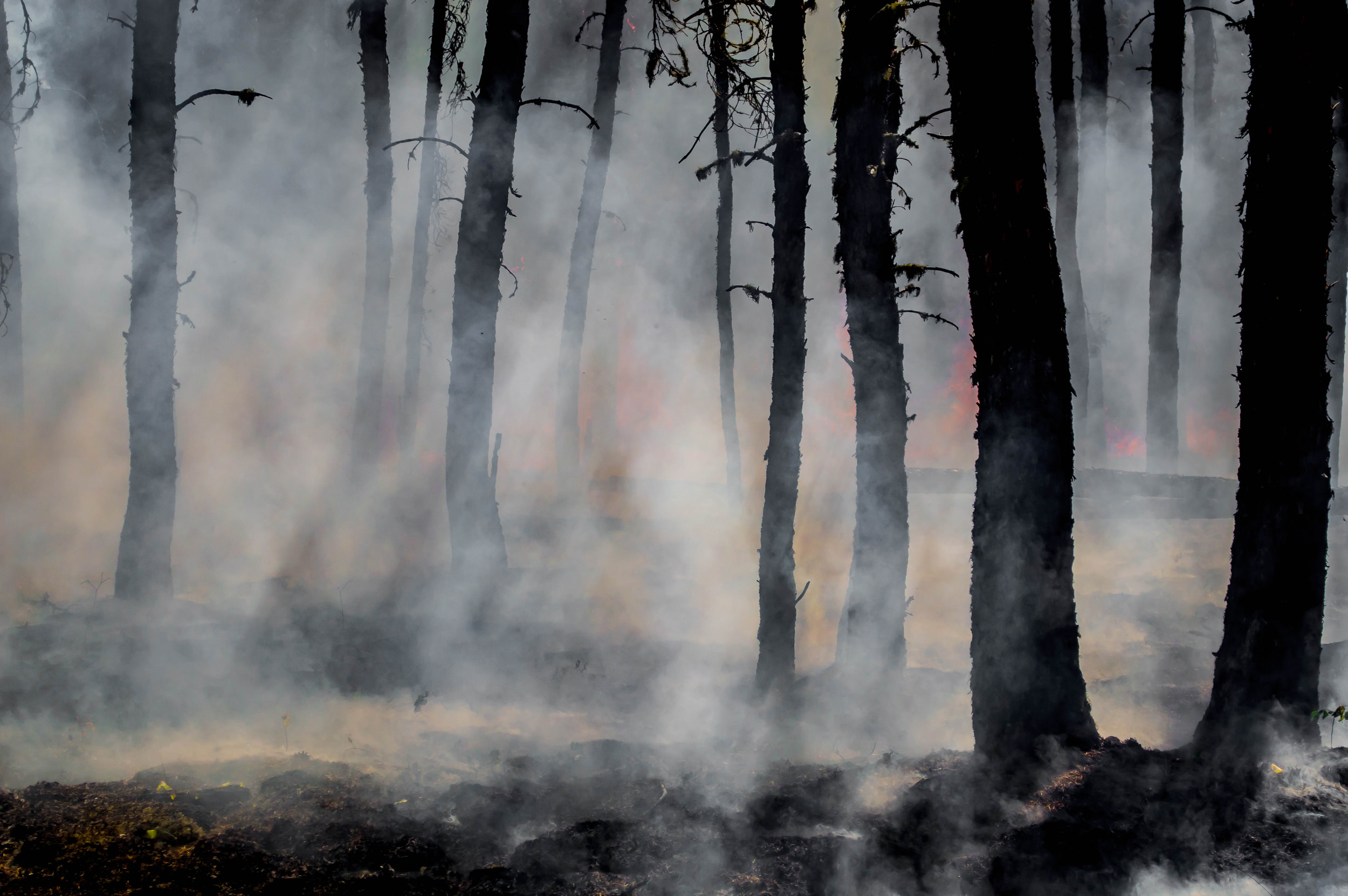
Wildfires are one of the critical hazards that regularly cause very large damage to our environment, human health, and assets, and they create feedback for climate change by producing large amounts of CO2 every year. Climate change is worsening the effects of wildfires by increasing the length of the fire season and the intensity of wildfires, which affect diverse areas and countries globally.
Solution
Basic needs for assessing and tackling the effects of wildfires on a global scale are the existence of: (1) an early warning system that helps populations and firefighting services increase preparedness before wildfires occur; (2) a near-real-time monitoring system for wildfires that provides accurate and rapid information on the distribution and impact of wildfires on a global scale; and (3) a global wildfire database at the country and sub-country levels that provides historical data on past wildfire events, including information on annual wildfire trends, seasonality, frequency, land cover damage, and emissions, supporting wildfire risk assessments.
These three applications are brought together in the modular structure of GWIS. The system supports the aims of the Early Warnings for All initiative of WMO and UNDRR. GWIS provides critical information on wildfire danger for all countries and near-real-time information on active fires and fire impacts, which is used by international, national, and regional organizations across the globe, while also providing critical information for countries to elaborate their National Determined Contributions to reduce greenhouse gas emissions as part of climate change mitigation.
GWIS provides the following services:
Fire danger forecast:
The GWIS fire danger forecast module provides forecast maps for one to nine days of fire danger levels.
Thermal anomalies are retrieved by different satellite sensors.
GWIS continuously updates its data sources and currently provides eight daily updates of wildfire activities across the globe.
Country profiles:
Country profiles include historical information, from 2002 to 2024, on the number of fires, burnt areas, land cover damage, fire seasonality, fire frequency, emissions, and more for all countries in the world at both country and sub-country levels (e.g., states within a country).
Monthly and seasonal temperature and precipitation anomalies,
as these variables are the main triggers of long-term or seasonal wildfire danger. This information is provided on a regional basis for all continents and regions in the world.
Weekly reports on wildfire activity:
These reports describe wildfire trends in a region over a specific period, comparing fire activity in the region to previous fire seasons, using a time series of data from 2012 to the current year.
Near-real-time statistical trends on wildfires:
Statistics are provided at the national level and for regions of interest.
Currently, GWIS runs using the data from Copernicus Emergency Management Services (JRC Copernicus EMS), Copernicus Atmosphere Monitoring Service & Global Fire Assimilation System (ECMWF), TERRA & ACQUA (NASA), and VIIRS (NASA/NOAA) SNPP, N20, N21.
Foreseen is the inclusion of new satellite sensors from geostationary satellite sensor, as well as the links to other global initiatives on wildfire monitoring.
Intended Socioeconomic and Environmental Impact
The activity aims to provide data and tools for countries and international organizations to enhance wildfire management and mitigate wildfire impacts. GWIS already provides up-to-date reports on the environmental impact of wildfires for all countries in the world, including information on the number of fires, burnt areas, thermal anomalies, emissions of pollutants, and wildfire danger. This information is automatically updated in GWIS up to ten times every day.
The data are used by, for example: (1) countries in Latin America and the Caribbean, engaged through the AMAZONIA+ program of the European Union; (2) the African Union, through weekly bulletins generated from GWIS data; (3) the Amazon Treaty Cooperation Organization (ACTO), in its Amazon Regional Observatory (ARO); and (4) the UN FAO Global Fire Hub.
GWIS contributes to UNDRR and WMO activities, being part of the Task Force on Fire Weather.
Objectives for 2025–2030
The objective of GWIS is to address specific needs regarding wildfire information and management at the following scales:
- Global, through WMO, UNDRR, FAO, and UNEP.
- Regional, through collaboration with regional networks, such as Expert Group on Forest Fires in Latin America and the Caribbean, Expert Group on Forest Fires in Europe, Middle East and North Africa, Amazon Cooperation Treaty Organization (ACTO), African Union, and Artic Council.
- National, through direct collaboration with countries, specifically in Europe, South America, Mexico, the USA, and Canada.
Enhance GWIS services through:
Inclusion of new satellite sensors and new technology, e.g., AI for image processing and wildfire behavior.
Support from the EU and USA project on AI for Public Good, to be implemented by the JRC with US partners starting in 2025.
How We Work
The GWIS core team is at the Joint Research Centre (JRC). This team cooperates with European and global partners through three expert networks, in which JRC acts as coordinator:
Expert Group on Forest Fires in Europe, Middle East and North Africa.
Expert Group on Forest Fires in Latin America and the Caribbean.
GWIS/Global Observation of Forest Cover Fire Implementation Team, composed of remote sensing experts for wildfire monitoring.
In addition, GWIS collaborates with other regional initiatives, such as those of NASA-SERVIR in South America, the Himalayas, and the ASEAN region regarding smoke pollution from wildfires.
Donors
Partners
GEO Members
Points of Contact
