
China, State Key Laboratory of Resources and Environmental Information Systemyuehy@lreis.ac.cn
This activity aims to establish the GEO UAV Observation Network, integrate it into the GEO infrastructure, collaborate with various GWP working groups, and apply it across multiple fields and countries worldwide. The proposed cooperation on technical research and development includes advancements in UAV observation network technology, hangar-based UAV systems, data processing, applications, and the formulation of standards for the UAV observation network.
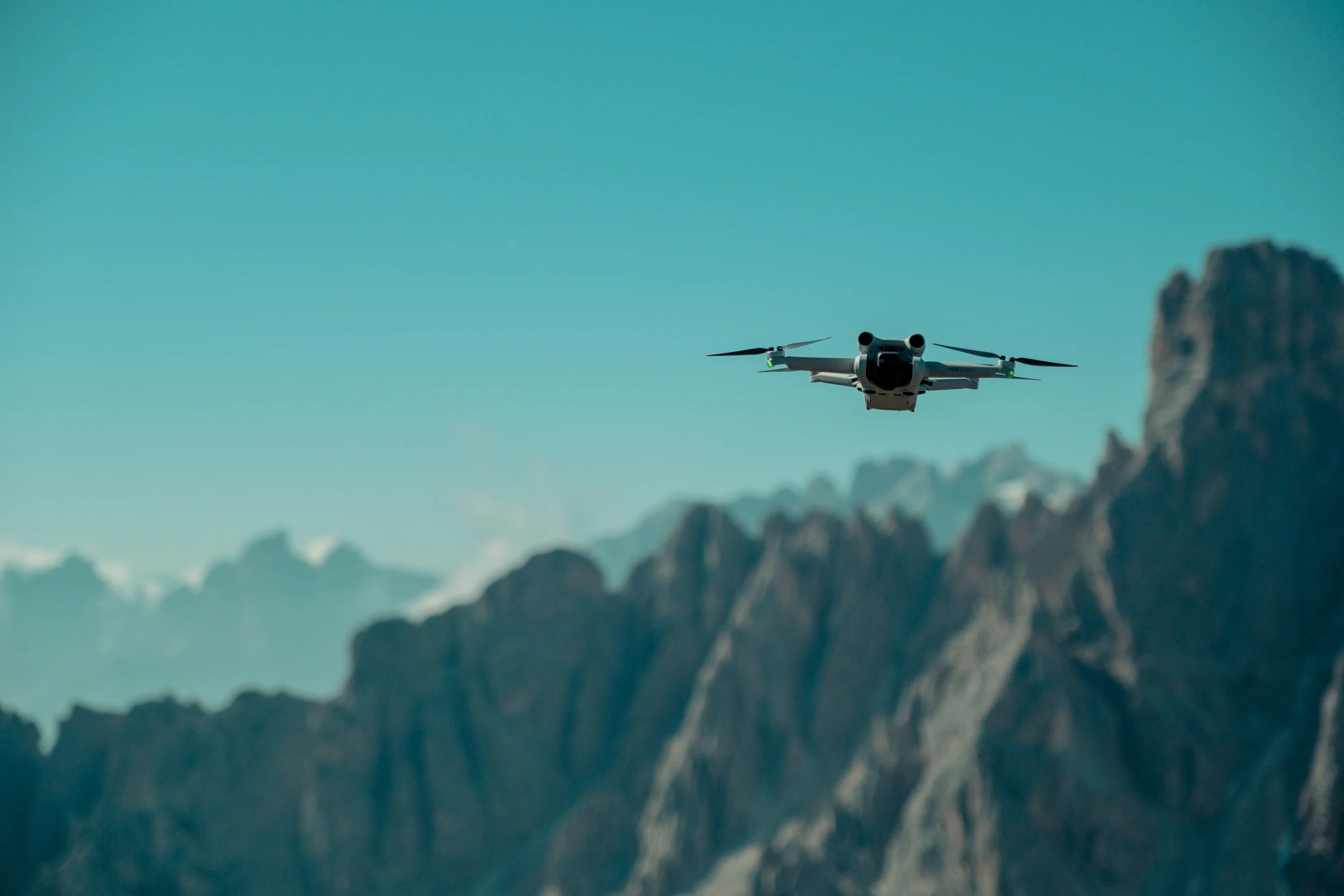
In recent years, UAV remote sensing has been widely used in various fields, including urban management, ecological and environmental monitoring, regional dynamic monitoring, and emergency response to sudden natural disasters. Due to its compactness, flexibility, quick response, high precision, cost-effectiveness, and ability to operate independently of terrain constraints, UAV remote sensing has partially met the demands of these applications. To address the growing need for fast, centimeter-precision geospatial information acquisition, UAV remote sensing has expanded rapidly over the past decade. The number of remote sensing UAVs is estimated to exceed one million units worldwide.
Typically, UAVs must be transported to the intended location and manually operated for takeoff, landing, data transmission, and battery replacement. Single or small-scale UAV remote sensing systems have several limitations, including reliance on manual operation, the need for highly skilled operators, low inspection efficiency, difficulty achieving large coverage and simultaneous observations, and the inability to provide timely responses in any location. Recently, UAV remote sensing technology has been shifting from single UAVs to large-scale networks with autonomous, pilot-free operation in the field.
The demand for rapidly acquiring UAV remote sensing data with synchronized phases, wide coverage, and centimeter-level accuracy is increasing across various industries. Single and dispersed UAV remote sensing operations can no longer meet this demand; however, UAV observation network technologies enable rapid response and precise monitoring. The UAV observation network is currently the only solution capable of providing simultaneous centimeter-level observation data with extensive coverage.
The development of UAV automated hangars has made it possible to construct and deploy a UAV observation network. These hangars serve as highly integrated, fully automated, unmanned operation platforms for UAV storage and deployment. They support UAV automation in takeoff and landing, battery charging, environmental monitoring, and remote control, ensuring the long-term stable operation of UAVs. Hangars play a crucial role in enabling UAV automation and intelligent operations.
Our primary focus is on advancing the technology of a hangar-based UAV observation network, which consists of multiple UAV remote sensing systems, hangars, and a central control system. In China, we have deployed over one thousand hangars to support urban management, environmental monitoring, power line inspection, and transportation.
In this activity, the hangar-based UAV observation network will be deployed where feasible in select countries through cooperating partners. It is anticipated that the UAV observation network applications within GEO will help fill observation gaps not covered by satellite remote sensing or field observations, support local government decision-making—particularly in developing countries—and contribute to the implementation of the GEO Post-2025 Strategy, “Earth Intelligence for All.”
The objective of this activity is to collaboratively develop a global UAV remote sensing network and its applications across various fields in partnership with GEO member countries, organizations, and end users involved in GEO UAV remote sensing. Within the UAV observation network, two approaches can be applied:
Currently, several African partners have begun developing UAV remote sensing network capacity and applications. These partners include the National Transmission Company South Africa (NTCSA), which requires UAV power line inspections; Tanzania, which seeks UAV-based border inspections; Nigeria, which requires UAV monitoring of oil fields. The network of cooperating countries and partners will gradually expand to other African countries, as well as to the Middle East, West Asia, and Southeast Asia.
This activity aims to strengthen the application of UAV remote sensing networks within GWP, integrate UAV remote sensing data with satellite remote sensing and ground measurement data, and develop targeted applications. Currently, this activity plans to collaborate with Digital Earth Africa and GEO Capacity Building in North Africa, Middle East, Balkans and Black Sea Region to provide data that enhances the fusion of UAV and satellite remote sensing applications.