How we’re building a common reference for understanding wildfires
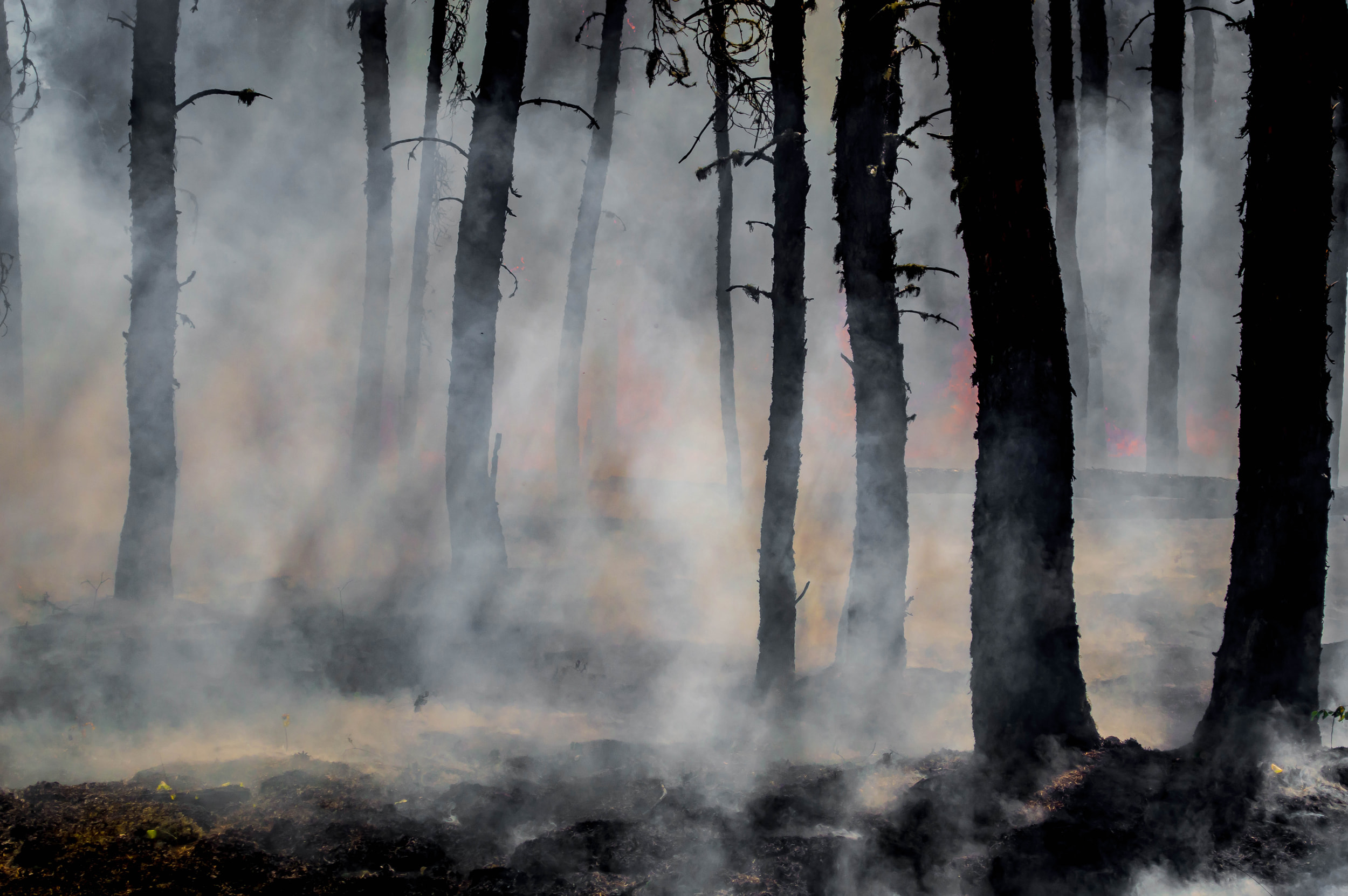
Wildfires are among the most destructive natural hazards, with devastating consequences for ecosystems, human health and livelihoods. This month in Chile, fast-moving fires have killed more than 20 people, destroyed entire towns and forced mass evacuations, as firefighters battle dozens of blazes fuelled by extreme heat and high winds.
A 2024 study led by researchers at the Center for Climate and Resilience Research found that climate change has helped drive long-term warming and drying, creating conditions for increasingly volatile fire seasons in south-central Chile.
Wildfires affect countries in very different ways, but one common challenge is how to get reliable, consistent information to support prevention, early warning, response and long-term planning. The GEO-led Global Wildfire Information System (GWIS) was created to address that need by providing a reliable picture of wildfire activity that countries and organisations can use as a common reference.
Not all fires are the same. Some fires are part of natural or managed ecosystems, while others pose serious threats. GWIS helps users make that distinction.
During the first GEO Open House Webinar, I emphasised that GWIS supports the full wildfire management cycle. This means decision-makers can move beyond isolated observations and places fire activity in context so they can better understand evolving risk and make informed decisions before, during, and after wildfire events.
From observation to informed decision-making
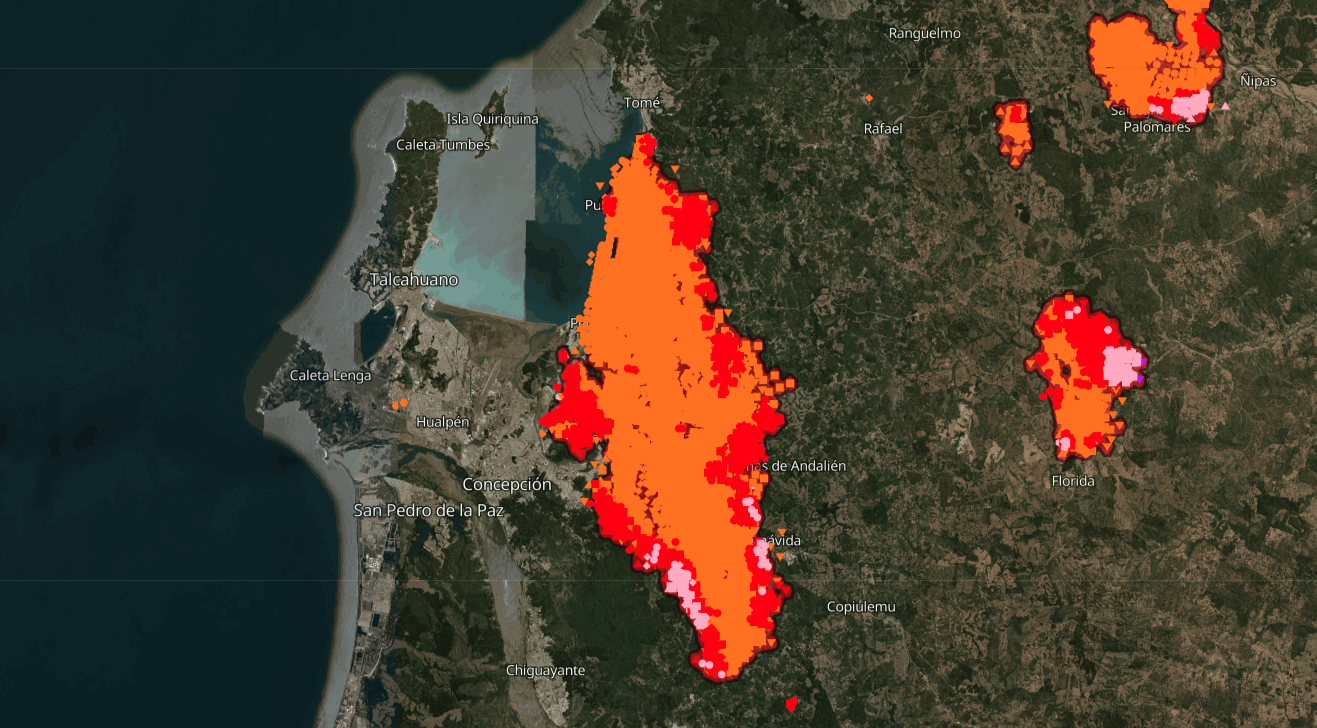
GWIS integrates multiple types of satellite-based information, including active fire detection, burned area mapping, fire emissions and fire danger indicators. Together, these products provide insights into where fires are burning today and how severe the current fire season is compared to previous years.
By applying the same methods globally, the system allows countries and organisations to compare fire activity across borders and over time. This is especially important for regions such as South America, where fires in one country often affect ecosystems, air quality and communities elsewhere.
GWIS us used in countries such as Bolivia to place local fire events in a broader regional and historical context. This helps authorities understand whether current conditions are exceptional, how risks are evolving, and where prevention or response efforts may need to be strengthened.
Looking ahead
GWIS is a joint effort developed with civil protection agencies, regional expert groups and international organisations, including partners such as the African Union, the Amazon Cooperation Treaty Organization and the Amazon Regional Observatory.
This year, we will expand the use of machine learning for fire detection, integrate geostationary satellite data for improved temporal coverage and prepare for future missions such as WildFireSat.
For GWIS, progress is measured in how countries use the information to make more informed decisions.
Fact Sheet: Global Wildfire Information System (GWIS)
All the materials from the GEO Work Programme Open House Webinar #1, including the presentations, are available on the GEO Knowledge Hub work. This blog is part of a series based on the presentations made during the webinar, including a summary and entries covering SlopeRiskGPT, Space and Security, GSNL, NIGHT-LIGHT and GWIS.