Making slope risk tools accessible
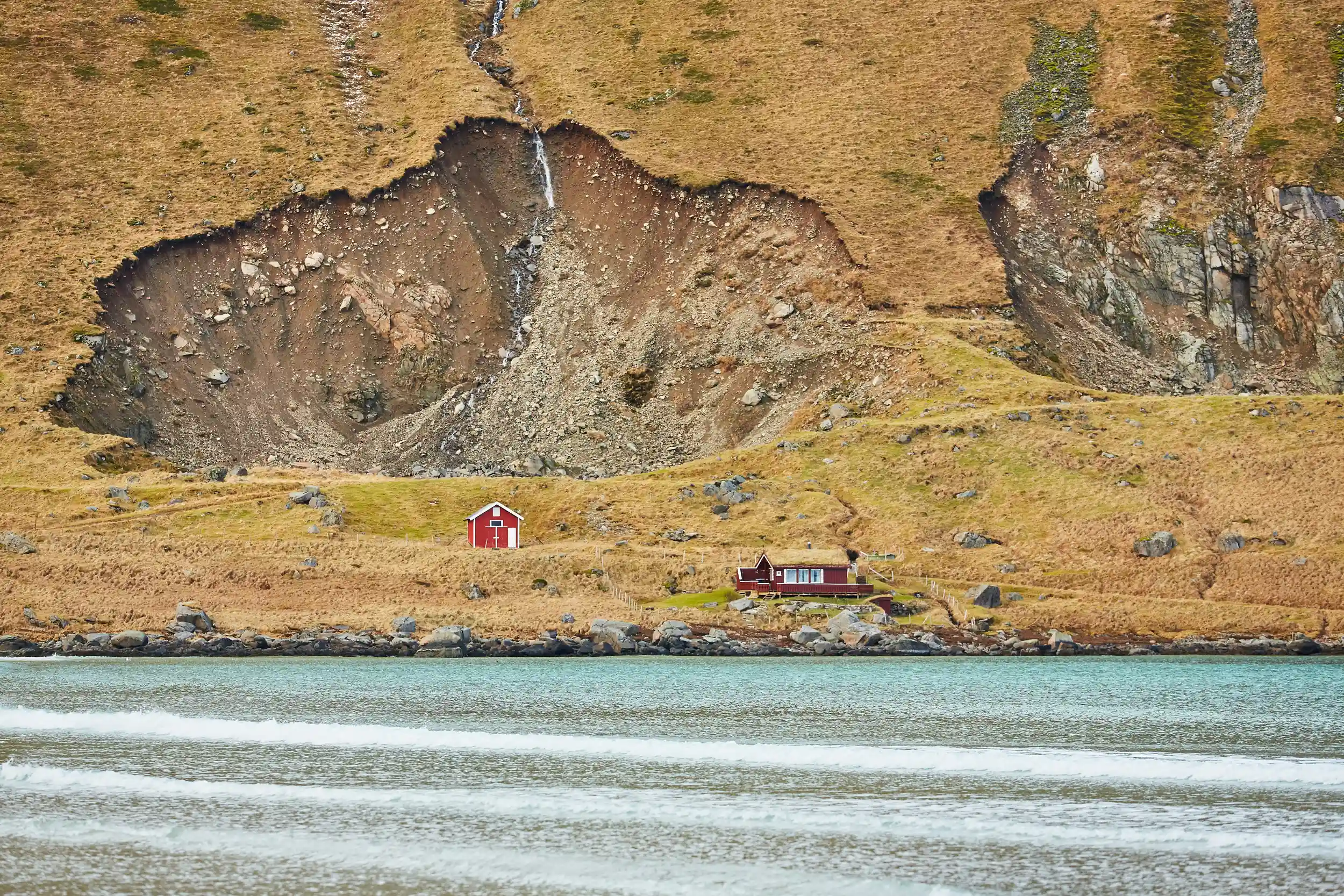
Landslides often strike in places with limited access to technical expertise, yet communities and authorities still have to make critical decisions about where to monitor, when to intervene and how to reduce risk. This is the challenge that motivates our work on A Decision-Making System for Slope Risk Deduction (SlopeRiskGPT), a public-facing system to strengthen landslide risk management.
Slope instability is rarely driven by a single factor. Climate-driven rainfall, earthquakes, hydrology, construction activities and terrain conditions all interact. Our goal is to lower the barrier to slope risk knowledge by translating complex Earth observations and engineering information into actionable guidance that non-specialists can use.
From slope signals to decision support
SlopeRiskGPT will integrate multiple sources of information, including Earth observations satellite data, in-situ measurements, drone imagery and open-access datasets. One focus of the pilot is slope-stability assessment, where deformation patterns and early warning signals like cracks and seepage can be explored using combined data streams.
Beyond identifying potential instability, we are also experimenting with how the system can support decision-making for mitigation. This includes drawing on a reference library of more than 500 documented slope reinforcement, allowing users to examine possible stabilisation options.
Designing for non-expert users
A central design principle of SlopeRiskGPT is accessibility. Many existing slope assessment tools are difficult to use without specialist training. In this pilot phase, we are testing interfaces that allow users to upload demonstration data or images and interact with results in a more intuitive way.
Behind the scenes, this work combines AI-powered automated image analysis, 3D slope reconstruction and large language models trained on engineering standards and past mitigation cases.
At the same time, we are addressing data-sharing challenges. Slope-related datasets can be sensitive, particularly when infrastructure is involved, so we are developing a trusted data-sharing framework.
Where we are heading
The pilot involves 12 organisations across nine countries, including universities, research groups and applied engineering partners such as national road construction companies, who contribute real-world slope reinforcement data. Technical partners in countries such as Italy are also supporting testing with documented landslide cases.
Our next steps will focus on validation, expanded user testing and clearer guidance on how outputs should be used. If successful, this public-facing decision-making system could support earlier, better-informed decisions, particularly where expert support is limited.
Fact sheet: A Decision-Making System for Slope Risk Deduction (SlopeRiskGPT)
All the materials from the GEO Work Programme Open House Webinar #1, including the presentations, are available on the GEO Knowledge Hub work. This blog is part of a series based on the presentations made during the webinar, including a summary and entries covering SlopeRiskGPT, Space and Security, GSNL, NIGHT-LIGHT and GWIS.