When the lights go out: using night-time data to understand disaster impacts
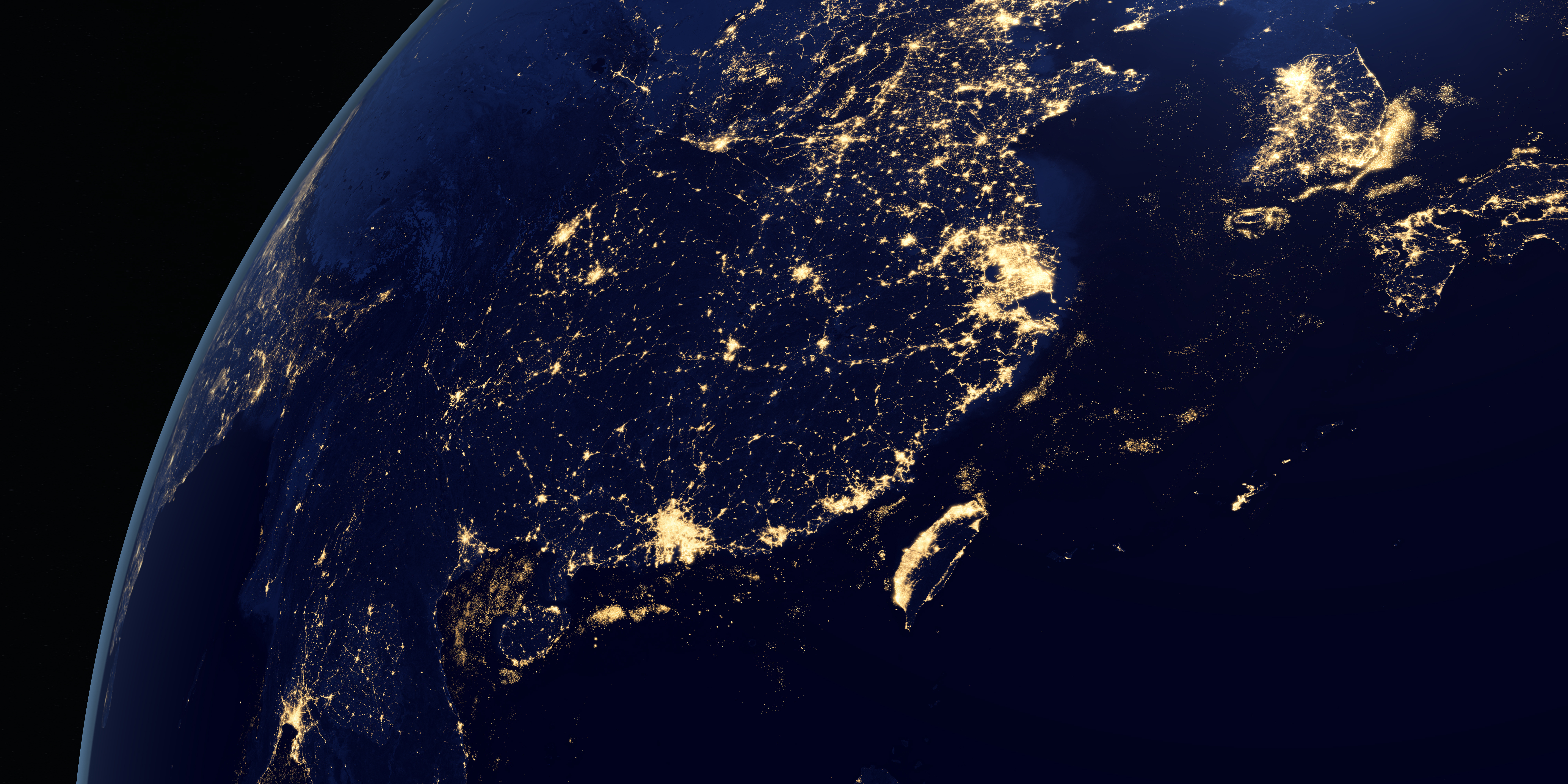
When a disaster happens, one of the first questions decision-makers ask is: how severely are people affected, and where? This is where night-time light data can be surprisingly powerful.
Through the Night-Time Light Remote Sensing for SDGs (NIGHT-LIGHT) initiative, we use changes in night-time light to help assess damage, disruption, and recovery after disasters. The strength of this approach lies in its simplicity: when lights go out, it often signals power loss, infrastructure damage or population displacement.
While night-time light data does not explain everything, it offers a fast, consistent signal that complements other information sources.
From light changes to actionable insight
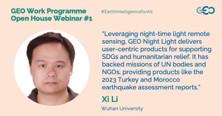
During the recent GEO Open House Webinar, I shared several examples of how night-time light analysis is already being used in real operations. After the 2023 Türkiye earthquake, night-time light change maps helped reveal where power outages were most severe and persistent, providing a population-level view of impact.
Similar methods supported International Committee of the Red Cross (ICRC) ground missions in Sudan, where light-based assessments were incorporated into situation reports at headquarters to inform humanitarian planning.
Night-time light data is also valuable beyond immediate response. By combining it with daytime satellite imagery, statistics, and GIS data, we can produce thematic maps and evaluation reports that track recovery, urban development, and access to services over time.
In Africa, for example, we have developed wealth index products derived partly from night-time light patterns, supporting analysis of poverty and inequality across countries.
Looking ahead
NIGHT-LIGHT is closely linked to user needs. We continue to work with organisations such as:
- International Committee of the Red Cross (ICRC)
- UN Office for the Coordination of Humanitarian Affairs (OCHA)
- UN High Commissioner for Refugees (UNHCR)
- World Food Programme (WFP)
- UN Global Service Centre (UNGSC)
- UN Platform for Space-based Information for Disaster Management and Emergency Response (UN-SPIDER)
- UN Satellite Centre (UNOSAT)
- European Union Joint Research Centre
Through these partnerships, we ensure our products respond to real operational questions.
Looking ahead, we are also preparing for new satellite constellations, such as Oriental Smart Eyes, which will further enhance coverage and detail.
Our ambition is to move from a pilot initiative toward a more sustained operational role that supports disaster response, SDG monitoring and evidence-based decision-making.
Fact sheet: Night-Time Light Remote Sensing for SDGs (NIGHT-LIGHT)
All the materials from the GEO Work Programme Open House Webinar #1, including the presentations, are available on the GEO Knowledge Hub work. This blog is part of a series based on the presentations made during the webinar, including a summary and entries covering SlopeRiskGPT, Space and Security, GSNL, NIGHT-LIGHT and GWIS.