Making Earth observations usable across Africa
When we talk about climate risks, biodiversity, and disaster preparedness, we know the data exists, but it is not always usable.
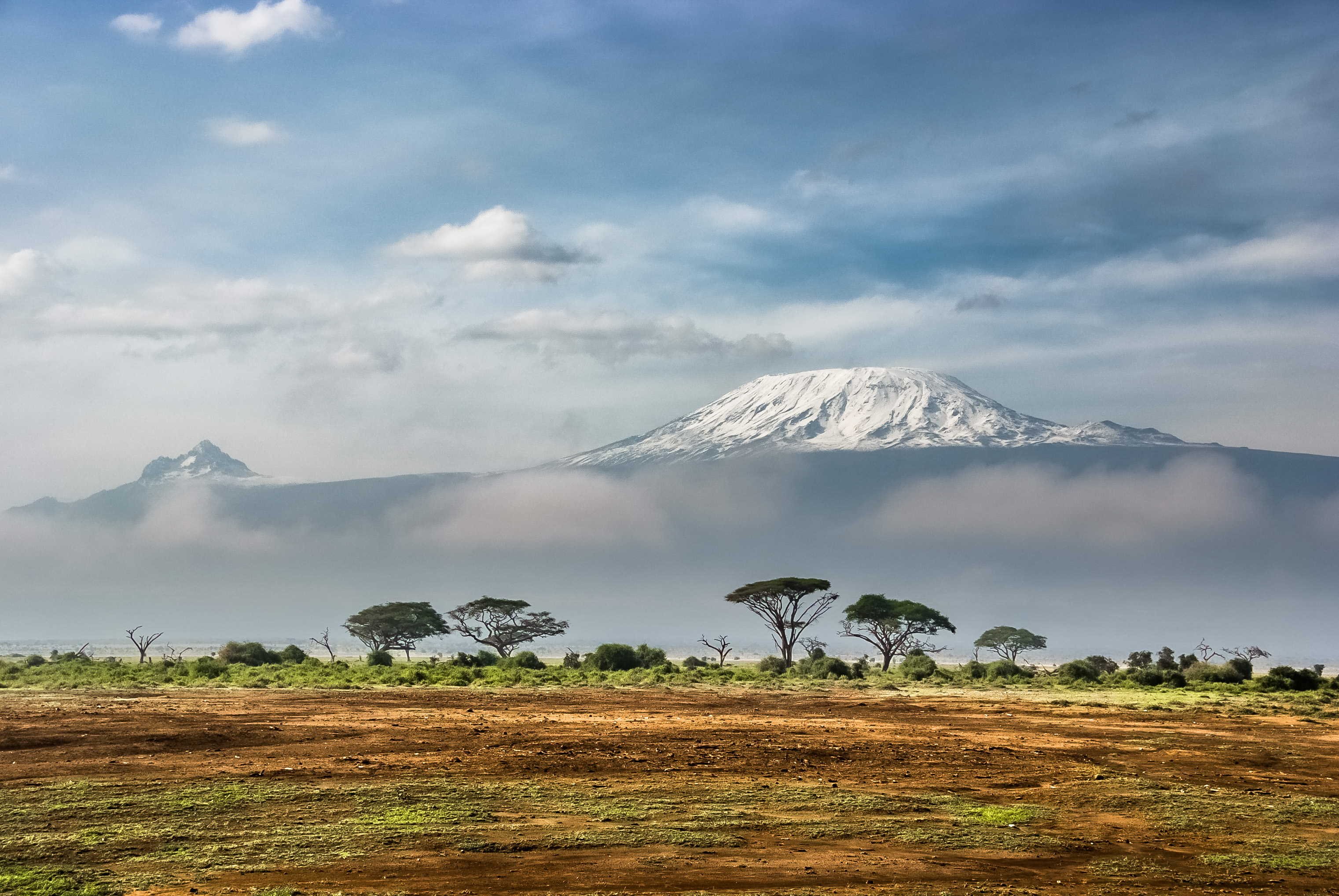
Across Africa, we are dealing with climate variability, land degradation and rapid ecosystem change. At the same time, there are petabytes of satellite data available. However, accessing, processing, and using that data can be complex, expensive, and often out of reach for many users.
That is where Digital Earth Africa comes in.
From data to decision-ready information
Our focus is simple: We take satellite data and make it ready to use.
Digital Earth Africa provides Analysis Ready Data that is already processed, aligned in time and space, and accessible through cloud platforms. This means users do not have to spend time preparing data before they can start working with it.
We also provide multiple ways to access this data. Whether someone wants to explore maps, run advanced analysis in a cloud environment, or use APIs, there is an entry point that fits their needs.
What matters most is that everything is open and free to use, including for commercial applications. This lowers barriers and allows more people to actually apply Earth observations in their work.
Supporting real-world decisions across the nexus
The value of this approach becomes clear when you look at how the data is used.
Our services support monitoring water resources, vegetation, land degradation and coastal change. For example, our Waterbodies Monitoring Service tracks more than 700,000 waterbodies across Africa, mapping surface water area and its changes over time.
This kind of information is directly relevant for the DRR-climate-biodiversity nexus. It helps identify drought impacts, monitor ecosystem health, and support early action.
But data alone is not enough. That is why capacity development is a core part of our work. We have trained thousands of users, provide open learning platforms, and run regular technical sessions to build skills across the continent.
Looking ahead
Looking ahead, we are continuing to expand both our services and our community.
We are developing new tools, including water quality monitoring, and improving how users can access and analyse data. At the same time, we are working towards long-term sustainability as a public data infrastructure owned and used across Africa.
Earth observations should not be difficult to use. It should be something that supports everyday decisions, from national planning to local action.
FACT SHEET: Digital Earth Africa
All materials from the GEO Work Programme Open House Webinar #2, including the presentations, are available on the GEO Knowledge Hub. This blog is part of a series based on the presentations made during the webinar, including a summary by the Programme Board co-chair and DRRA-WG co-chair, as well as entries covering GEO TRRES, GEO-LDN, GEOARC and GEO Indigenous Alliance.