Forest data you can trust, from tree to satellite
Forests underpin climate, biodiversity and disaster risk reduction (DRR). That raises some deceptively simple questions: How much carbon do forests store? How are forests structured? How fast is that changing? In my presentation at the second GEO Open House Webinar, I showed why answering these questions is far more challenging than often assumed and why getting it right is essential for taking informed action across climate mitigation, biodiversity protection and DRR.

Turning measurements into reliable carbon estimates
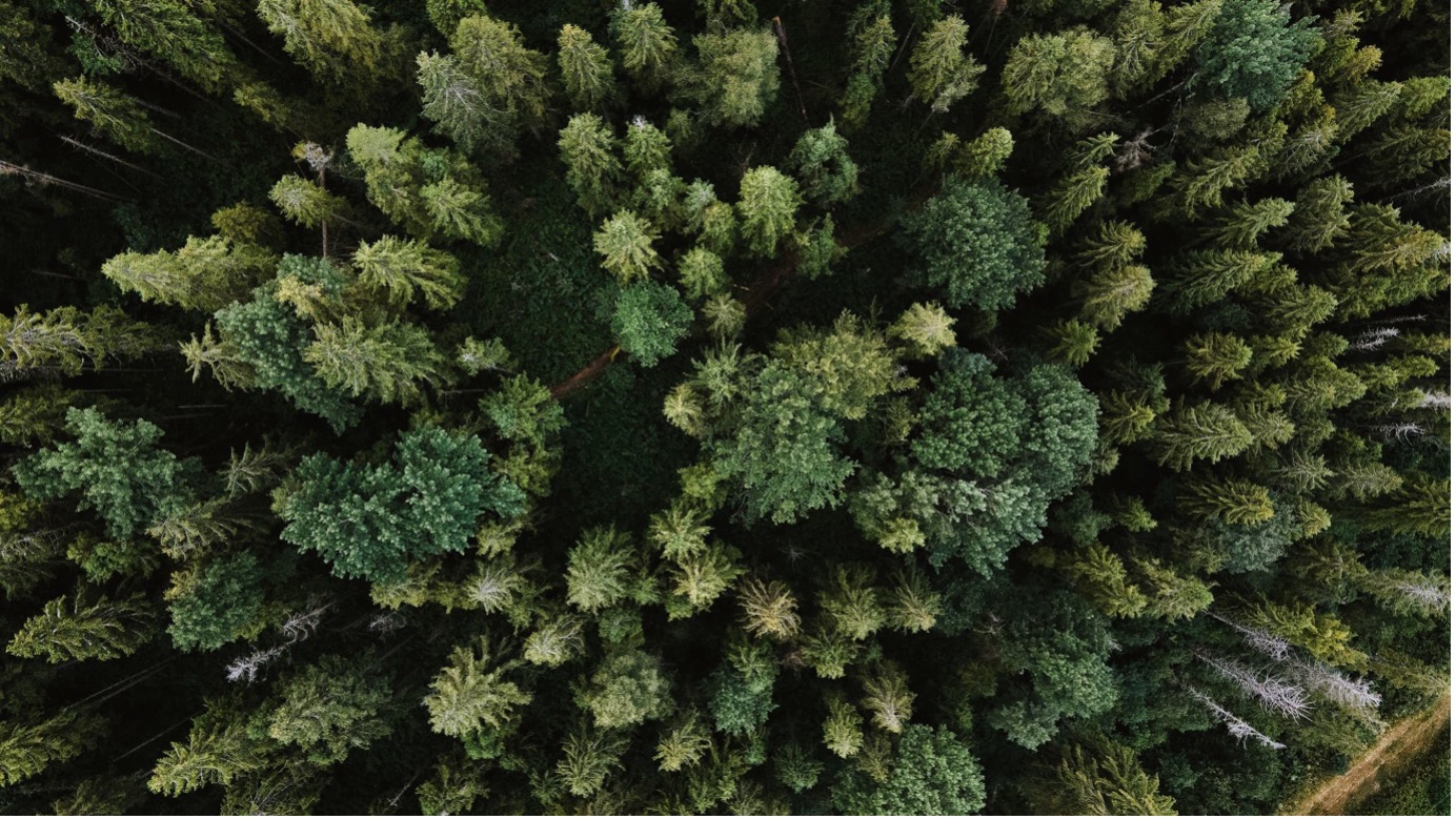
We are entering a new era of forest observations from space, with missions designed to measure forest biomass globally. But Earth observations-based solutions come with a fundamental challenge: Satellites do not measure biomass directly. They measure proxies such as height and structural properties, and models convert those into biomass and carbon. That is where uncertainty comes in, and it is still significant, especially for land-based carbon fluxes.
The Forest Biomass Reference System from Tree-by-Tree Inventory Data (GEO-TREES) initiative was created to address this challenge. Our goal is to build a forest biomass reference system based on tree-by-tree inventory data that anchors satellite observations to reality. This involves repeated ground measurements of tree diameter, height, and species in one-hectare plots, combined with terrestrial and airborne LiDAR to reconstruct forest structure in three dimensions.
Building a global reference system together
What makes this effort work is the collaboration model. Ecological expertise is strongest where forests are, often in tropical regions. GEO-TREES connects these communities with the Earth observation communities through direct partnerships with local field teams, financial support and training.
This is essential for the DRR-climate-biodiversity nexus. Reliable biomass data strengthens carbon accounting, supports biodiversity monitoring, and helps identify where forest degradation increases risks such as fire and drought. One consistent reference system can support all three.
We are expanding the network of reference sites and strengthening partnerships, but long-term sustainability remains a challenge. The science is ready and the need is clear. The priority now is securing stable funding to maintain and scale this global reference system.
FACT SHEET: Forest Biomass Reference System from Tree-by-Tree Inventory Data (GEO-TREES)
All materials from the GEO Work Programme Open House Webinar #2, including the presentations, are available on the GEO Knowledge Hub. This blog is part of a series based on the presentations made during the webinar, including a summary by the Programme Board co-chair and DRRA-WG co-chair, as well as entries covering GEO-LDN, GEOARC, Digital Earth Africa, and GEO Indigenous Alliance.