From land signals to restoration action
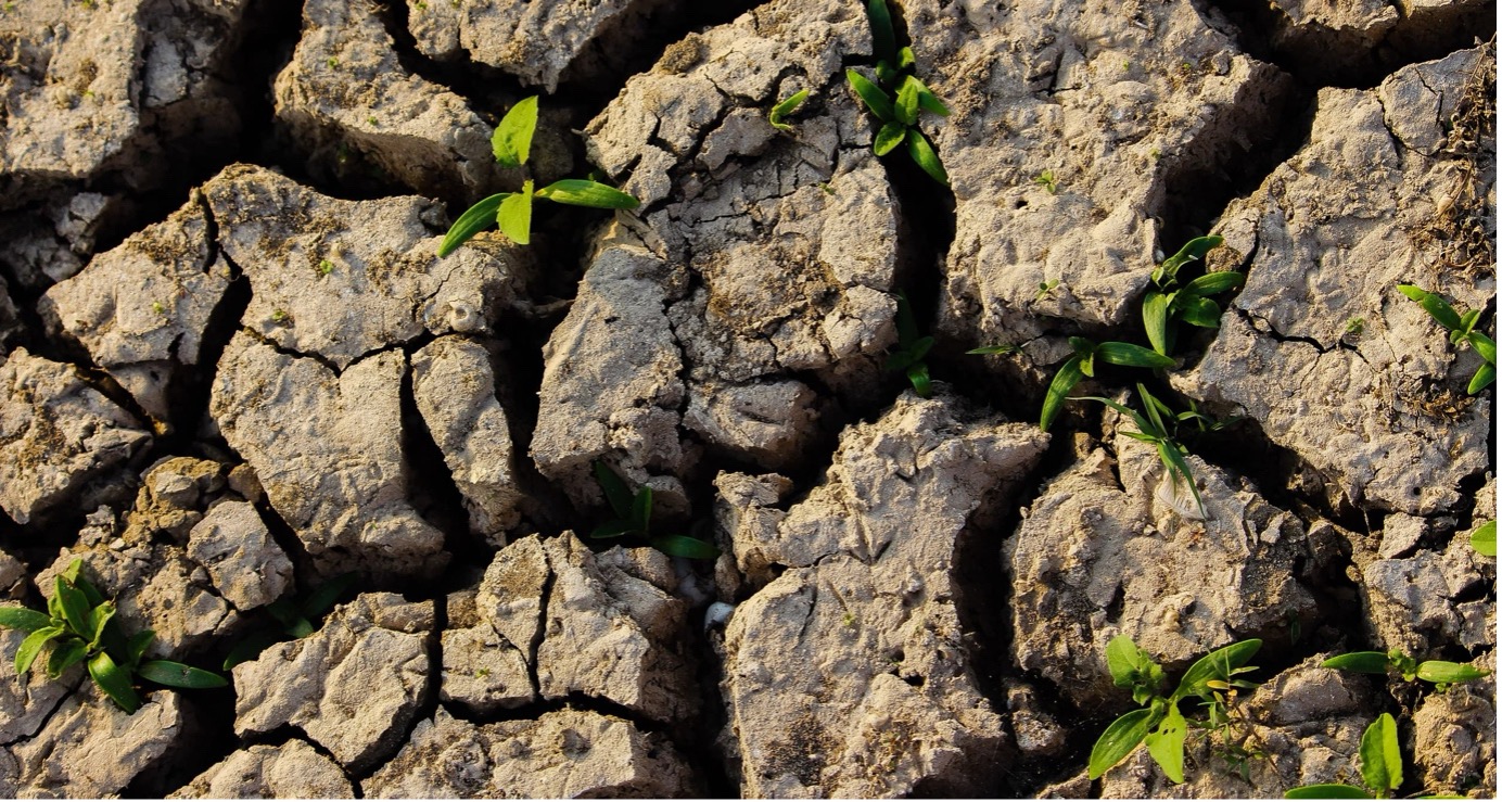
Land degradation is often described as a slow-moving crisis, but for many communities it feels immediate. When soils lose productivity, drought hits harder, floods cause more damage, and livelihoods become more fragile. That is why, in the second GEO Open House Webinar on the DRR-climate-biodiversity nexus, I focused on one simple point: Land degradation is both a driver and a consequence of climate risk, and restoring land is one of the most practical ways to reduce vulnerability.
Turning measurements into decisions
The GEO Land Degradation Neutrality Flagship (GEO-LDN) helps countries monitor land degradation through the UN Convention to Combat Desertification processes, including SDG Indicator 15.3.1. We measure three main variables: land cover, land productivity and carbon stock, to understand where the land is degraded and where restoration can make the biggest difference.
Our work in GEO-LDN has inspired the creation of new datasets and analysis tools, but our main role is to help countries use Earth observations in ways that are useful for reporting, planning and policy development. The Good Practice Guidance document and its recent updates, and the LDN Toolbox are central to this. They bring together methods and tools that support the full journey from assessment and reporting to restoration planning and sustainable land management.
Building capacity through dialogue
One of the most useful parts of our work has been the Global Dialogue Forums. These are practical sessions where country teams including Earth observation experts and land planners work together to share their stories and make action plans to restore degraded lands.
What matters most is not only the technical side; it is also the institutional side. In many cases, people discover that others in their own country are working on the same issue but using different approaches. The forums help to establish those networks within and between countries and build momentum to turn data into action.
Looking ahead
National reports on land degradation for the Sustainable Development Goals are due at the UNCCD in 2026, so it could be a busy year for GEO-LDN helping up to 120 countries with that process. But perhaps the more important role for GEO-LDN is longer-term, to work with countries to use the new reporting information to make plans to restore the land.
This means understanding the unique data, analytics and planning challenges for small islands, drylands and mountain regions, and helping them make local restoration plans in places where global approaches often need adaptation.
It also means sustaining support. Countries are generating more land data than ever, but they still need practical help to use it. GEO-LDN will keep focusing on that bridge between Earth observations and decisions that reduce risk on the ground.
FACT SHEET: Land Degradation Neutrality (GEO-LDN)
All materials from the GEO Work Programme Open House Webinar #2, including the presentations, are available on the GEO Knowledge Hub. This blog is part of a series based on the presentations made during the webinar, including a summary by the Programme Board co-chair and DRRA-WG co-chair, as well as entries covering GEO-TREES, GEOARC, Digital Earth Africa, and GEO Indigenous Alliance.