Making ecosystem data work together
Climate change, environmental degradation and biodiversity loss are issues that interact, reinforce each other, and often lead to increasing risks such as droughts, floods, and ecosystem collapse. In my presentation during the second GEO Open House Webinar, I focused on a practical challenge behind this. We still lack consistent, integrated data to understand these changes in a coherent way.

Turning fragmented data into usable insight
One of the biggest barriers is fragmentation. Different datasets are produced using different methods, resolutions, and definitions. This makes it difficult to monitor change consistently or support decision-making across climate, biodiversity and disaster risk.
Global Ecosystems and Environment Analysis Research Cooperation (GEOARC) was created to address this gap. Since 2012, we have developed global ecosystem datasets and annual reports that integrate multiple Earth observation sources into more consistent and usable products, released as public goods for both research and decision-making.
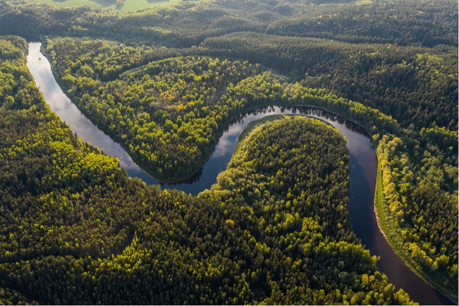
Our datasets cover key ecosystem variables such as land cover, vegetation productivity, biomass, and disturbance. By providing long time series and consistent mapping, we aim to support a clearer understanding of how ecosystems are changing over time.
Linking observation to risk and resilience
This is where the DRR-climate-biodiversity nexus becomes important. Ecosystem degradation increases vulnerability to hazards, while changes in vegetation and land cover can signal emerging risks.
For example, our datasets track forest disturbances, biomass loss, and vegetation dynamics globally. These are directly relevant for understanding fire risk, drought impacts and land degradation. At the same time, they support biodiversity monitoring and ecosystem conservation.
To make this more operational, we are developing multi-resolution data cubes that integrate data from different satellite systems, along with AI based tools to support analysis and decision making. This allows users to move from static maps to dynamic monitoring of ecosystem change.
Looking ahead
Looking ahead, our focus is on improving both data quality and usability. This includes increasing spatial and temporal resolution, strengthening in-situ observations for validation and developing more targeted tools such as early warning for ecosystem protection.
Equally important is user engagement. We need to better connect with users, understand their needs, and translate those into future data products. Only then can Earth observations fully support decision making across climate, biodiversity, and disaster risk.
FACT SHEET: Global Ecosystems and Environment Analysis Research Cooperation (GEOARC)
All materials from the GEO Work Programme Open House Webinar #2, including the presentations, are available on the GEO Knowledge Hub. This blog is part of a series based on the presentations made during the webinar, including a summary by the Programme Board co-chair and DRRA-WG co-chair, as well as entries covering GEO-TREES, GEO-LDN, Digital Earth Africa, and GEO Indigenous Alliance.