Size, bands, repeat, combine: UNIGE volunteer leader’s reflection on the GEO Symposium’s ODOK session on VHR Imageries
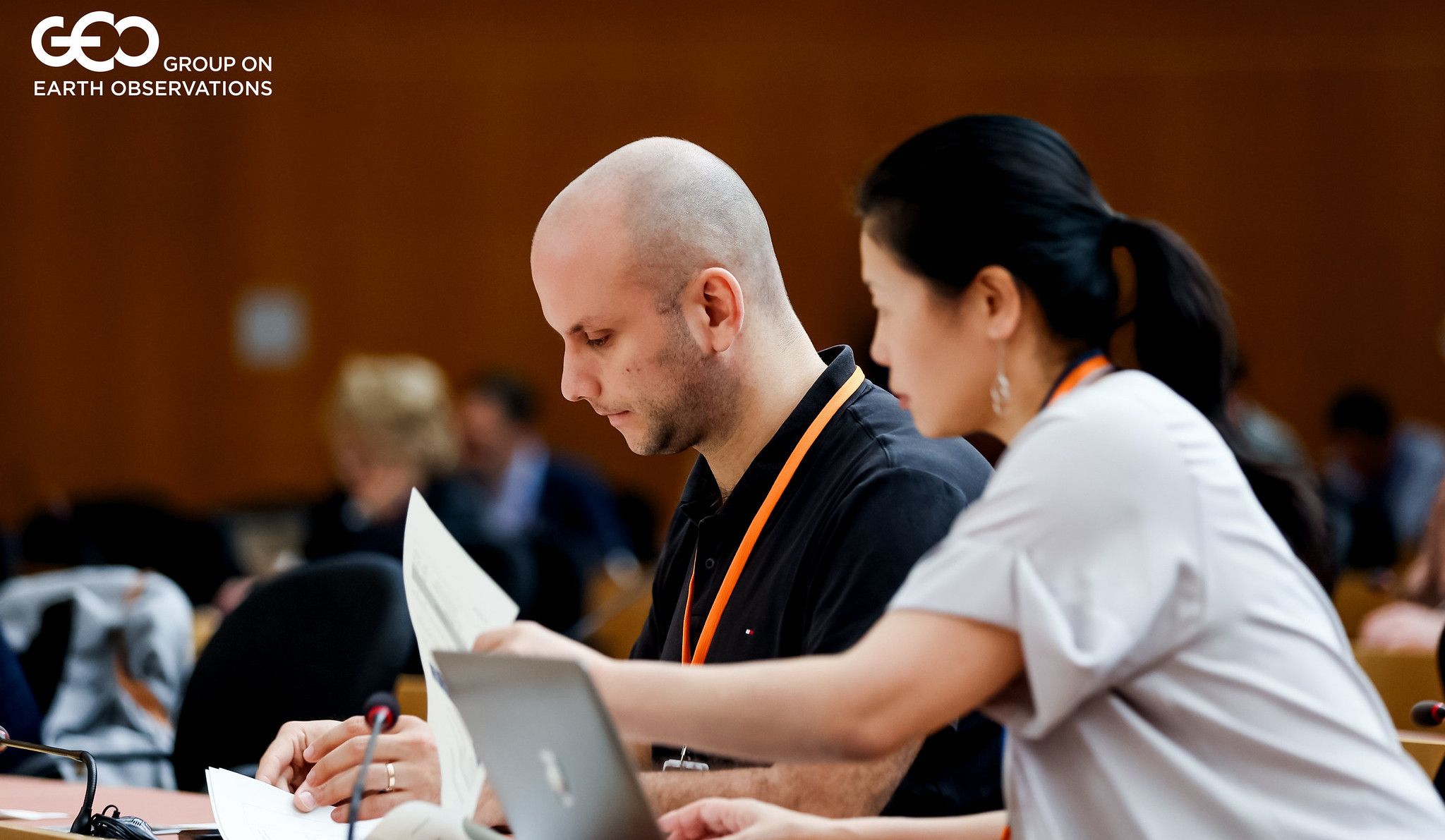
As someone who worked at the GEO Secretariat until 2023, it was great to be back three years later with a fantastic team of UNIGE volunteers at the GEO Symposium 2026, and for what concerns this blog post, supporting an Open Data and Open Knowledge (ODOK) session on very high-resolution (VHR) Earth observation data. My main takeaway from the discussion was that future conversation should perhaps be broader than high spatial resolution only. While improving access to high-resolution data remains important, understanding the diverse needs of users, and matching them with the right combination of spatial, temporal and spectral information, may ultimately be where GEO can have the greatest impact.
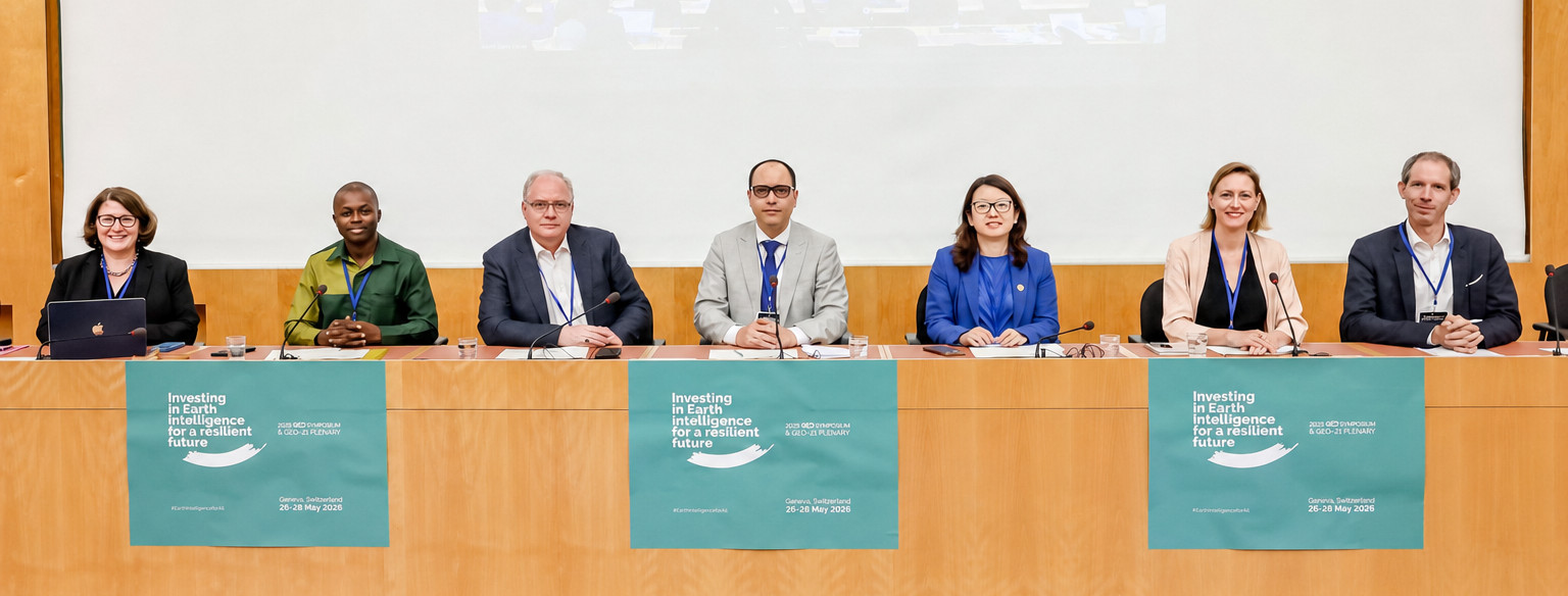
The panel discussed the role GEO could play in improving access to VHR Earth observation data for public good applications. We all know the usual points of friction: who provides the data? Who pays for it? How is it delivered? Who gets to use it? And how do we make sure it is impactful?
Show me yours I’ll show you mine
We heard about operational, international networks, in China and Africa, Europe, South America and at the UN level already delivering VHR imagery within minutes or hours after ordered. That's a huge asset for managing emergency responses, and the growing number of providers is also driving costs down. But it creates a new headache: how do you negotiate with dozens, even hundreds, of companies, when a few years ago there were only a bunch of them?
But let’s suppose the money is there to buy the data, what's actually needed beyond that? A survey sent out to the GEO community showed that most people are already using VHR imagery in some way. So, the real question becomes: what should GEO do to help that limited use grow into real impact? In other words, how can we scale these examples to the entire world?
What’s new, what’s next?
It turns out GEO had already tried something like this before: partnering Norway's government NICFI forest imagery and reaching real end users on the ground through the GEO Indigenous Alliance. But when NICFI's funding came to an end, that whole pipeline ended, which brings up the question: why not rebuild it, this time on a much wider scale? GEO might be very well positioned to take this role, and, if not GEO, who else?
Only VHR imagery was discussed here, meaning, we focus on the high resolution of the spatial dimension in the ODOK session. Being able to distinguish how many elephants appear on a picture might be important, but the question I had when the session ended is: how about very high resolution for the time and spectral dimensions? That might prove more crucial to many users.
For some users, temporal resolution may be even more important. A wildfire, flood or other rapidly evolving event can change dramatically within minutes or hours. In such cases, receiving observations more frequently may provide greater value than obtaining a finer spatial resolution. Likewise, advances in hyperspectral imagery are opening new possibilities by capturing information far beyond what the human eye can see in traditional RGB imagery. These data can reveal properties related to vegetation health, water quality, soil composition and many other environmental variables that would otherwise remain invisible.
This is why I believe the discussion should perhaps go beyond access to VHR imagery alone. Different communities need different combinations of spatial, temporal and spectral resolution. Some may require sub-meter imagery, while others may benefit more from frequent observations or richer spectral information. Understanding these diverse needs and communicating them to the growing ecosystem of data providers could be one of GEO's most valuable contributions.
In that regard, GEO appears uniquely positioned. As a convening body bringing together data providers, users, governments, regional organizations, international organizations and research institutions, I think GEO can and should help bridge the gap between those producing Earth observation data and those using it for public good applications. More importantly, GEO can demonstrate how impactful access to new datasets can be when they are placed in the hands of an informed and empowered community.
-----
This blog is part of the GEO Youth Blog Series, an initiative dedicated to amplifying youth voices, perspectives and contributions across the Earth observation community. This blog is also part of a new series based on the GEO Symposium 2026, including regional GEOs sessions summary, ODOK sessions summary, Townhall on innovation, GEOGloWS community event, and GEO Mountains community event.