Why regional action matters more than ever for GEO and the world

Across the world, governments are being asked to make faster decisions in increasingly uncertain environments, from responding to extreme weather and food supply disruptions to planning infrastructure investments and adapting to demographic change. Earth Intelligence is emerging as a critical tool for reducing uncertainty and supporting evidence-based policymaking for resilience, security, and long-term prosperity.
These themes were at the heart of discussions during the 2026 GEO Symposium and GEO-21st Plenary in Geneva, where leaders from across the global Earth observation community explored how to accelerate the delivery of Earth Intelligence for All. Within this broader context, dedicated community events enabled participation and knowledge exchange across regions while reinforcing the important role Regional GEOs play in translating global GEO resources into practical solutions for decision-makers and communities.
A clear message emerged across the discussions: global challenges are becoming increasingly interconnected, but solutions must ultimately be implemented in specific regional, national, and local contexts. This is where Regional GEOs play a unique role. They help bridge the gap between global Earth observation capabilities and the decisions that shape real-world outcomes on the ground.
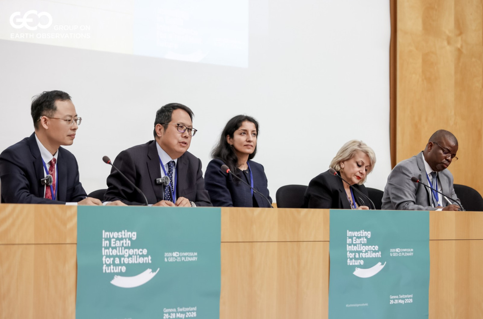
One key theme of the Regional GEO community events was Advancing National Implementation of Earth Intelligence for All. Discussions among GEO co-chairs from the United States, European Union, China, and South Africa focused on how Earth Intelligence can support better governance, public services, and informed decision-making through greater interoperability across data, infrastructure, models, and applications. They highlighted that advances in AI, cloud computing, and digital technologies are creating new opportunities to deliver actionable information on a scale. Increasingly, these capabilities are becoming part of national resilience and security planning, helping governments anticipate risks, allocate resources, and respond more effectively to emerging challenges.
At the same time, the discussion showed why regional implementation matters. Countries and regions are not starting from the same place, and their needs, capacities, and policy priorities differ. Regional GEOs can help ensure that global capabilities are adapted to these different realities and support national resilience and security planning in ways that are relevant, trusted, and useful.
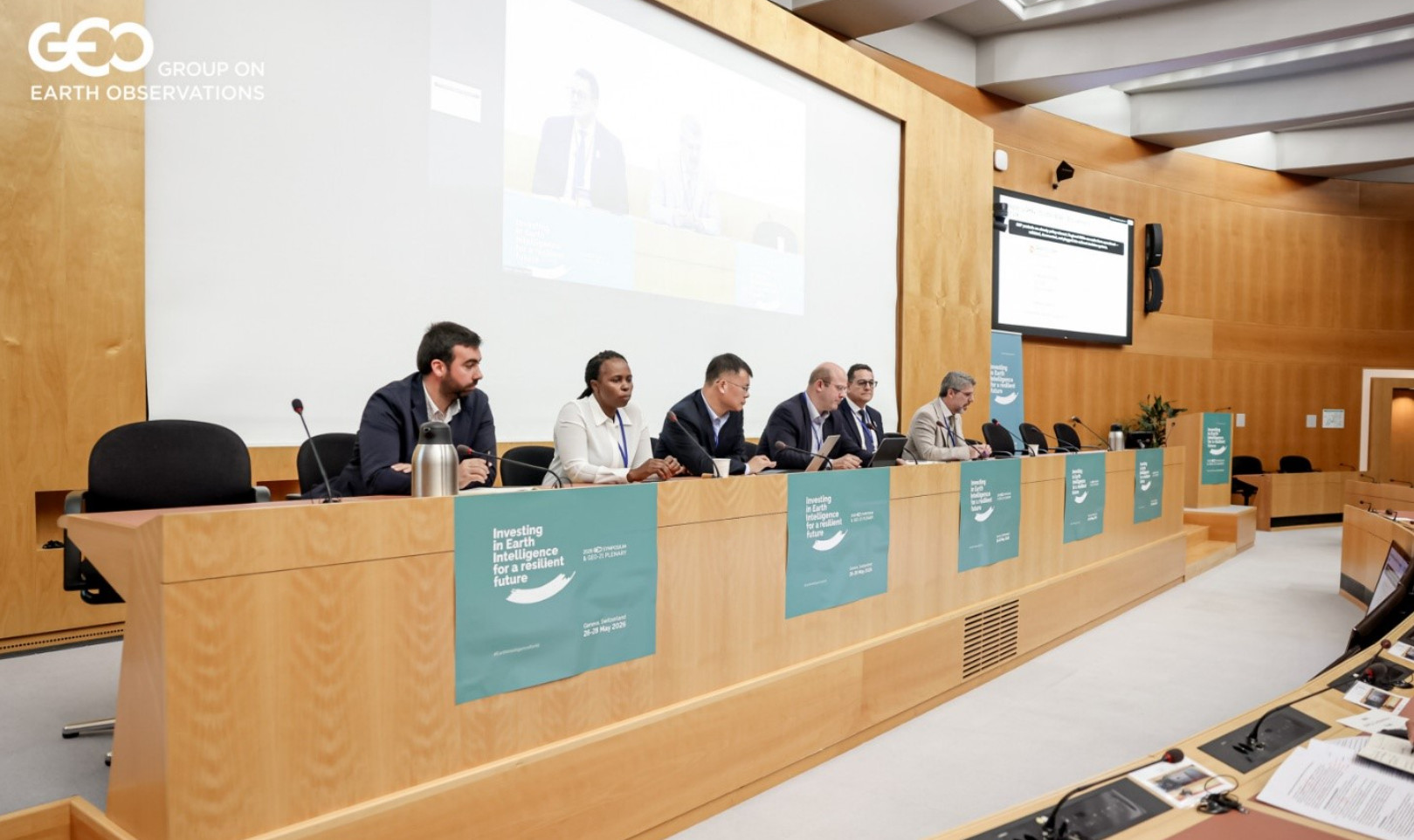
The growing importance of regional action was also evident in discussions on GEO Human Planet and the Regional GEOs. According to the United Nations’ World Urbanization Prospects 2025, cities are expected to account for two thirds of the projected growth of the world’s population by 2050. As a result, there is a growing demand for better information on urban growth, vulnerability, infrastructure, and service provision. Understanding how cities and human settlements evolve is becoming increasingly important. Speakers from four Regional GEOs demonstrated how regions are addressing common urban challenges through different approaches, from resilience-building in Asia-Oceania and managing urban expansion in Africa to climate-neutral development in the Americas and smart city initiatives in Europe.
This diversity of approaches is precisely why Regional GEOs matter. Global datasets and tools are essential, but their value increases when they are interpreted, adapted, and applied through regional partnerships that understand local policy needs, institutional contexts, and community priorities. The discussion highlighted that strengthening engagement between Regional GEOs and GEO Work Programme activities can further support the adaptation of global datasets and tools to address diverse regional challenges and priorities.
The Disaster Preparedness and Response session provided another example of why regional cooperation is essential. The conversation echoed concerns highlighted in the latest World Economic Forum's Global Risks Report, which consistently identifies extreme weather events, natural resource pressures, and environmental risks among the most significant threats facing societies and economies. Speakers from Esri, The Jamaica Flying Labs, WeRobotics, and Beihang University demonstrated how emerging technologies can improve situational awareness and enable more effective disaster preparedness and response. The specific case of the Government of Togo underscored the importance of preparedness, early warning systems, and trusted partnerships before disasters occur. Representatives from Regional GEOs stressed that technology alone is not enough. Resilience depends on strong local leadership and local skills development, established response mechanisms, and collaboration among governments, civil society, academia, and the private sector. Learning from one another and sharing repeatable solutions can speed up the adoption of modern tools and on the ground impacts. Regional GEOs can help connect these actors before crises happen, ensuring that Earth Intelligence is embedded in preparedness systems rather than introduced only after disasters occur.
The value of regional and international coordination becomes even more apparent in conflict situations. The discussion on Leveraging Earth Observations for Post-conflict Recovery addressed a challenge that is becoming increasingly relevant in today's geopolitical landscape. Participants from the State Space Agency of Ukraine, the United Nations Environment Programme (UNEP), the European Centre for Medium-Range Weather Forecasts (ECMWF), the European Commission, and TerraMira demonstrated how Earth observations can support environmental assessment, recovery planning, and long-term resilience in conflict-affected areas.
Earth Intelligence can provide transparent and objective information on environmental damage, infrastructure impacts, population displacement, and recovery progress, helping governments and development partners prioritize investments and monitor results. The discussion highlighted the importance of GEO convening capacity to leverage recovery efforts while integrating the principles of green recovery and environmental sustainability from the earliest stages of reconstruction and even during conflict. Here again, regional cooperation is critical. The impacts of warfare often transcend national borders, affecting neighboring countries and shared natural resources. Earth Intelligence can help provide a common evidence base for recovery efforts, but success depends on regional coordination, international partnerships, trusted data, and shared technical capacity.
A key outcome of the discussion was the identification of a potential pilot project in Ukraine under the framework of the GEO Work Programme, to demonstrate how Earth Intelligence can support environmental assessment, recovery planning, and long-term resilience. The lessons, methodologies, and operational approaches developed through this pilot could subsequently be adapted and applied in other conflict-affected regions around the world.
Across all discussions, AI emerged as a powerful enabler of change. AI is transforming how Earth observation data is processed, analysed, and delivered, creating new opportunities to generate actionable intelligence at an unprecedented scale. However, participants emphasised that technology alone cannot deliver impact. Trusted regional partnerships, interoperability, capacity development, and strong institutions remain essential for turning technological advances into meaningful outcomes.
Regional GEOs are positioned to connect diverse actors and levels of action, providing a platform where global knowledge, national priorities, and local realities can meet. In an increasingly fragmented and uncertain world, strengthening their coordination capacity and engaging them from the earliest stages of GEO initiatives will be essential to aligning regional priorities with global objectives, fostering meaningful stakeholder engagement, and mobilizing the partnerships and resources needed for long-term success. As GEO advances its Post-2025 vision, empowering Regional GEOs to play this strategic role will help ensure that Earth Intelligence not only informs decisions, but translates into tangible action that strengthens resilience, advances prosperity, and helps societies navigate an increasingly complex future.