Truth, Shared: Reflections from the GEOGLOWS Community Event: "Water Security is Global Security"
Whoever controls the data controls the story, and often, the leverage.
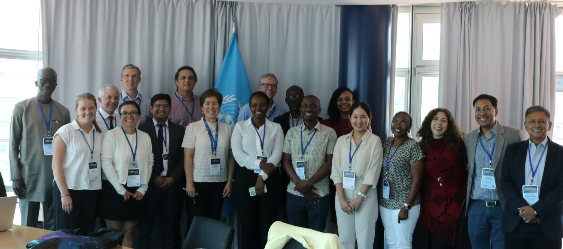
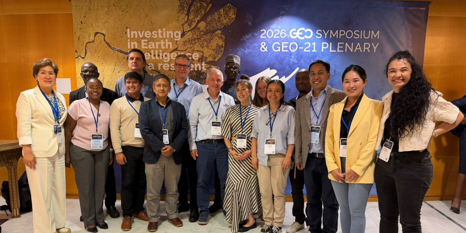
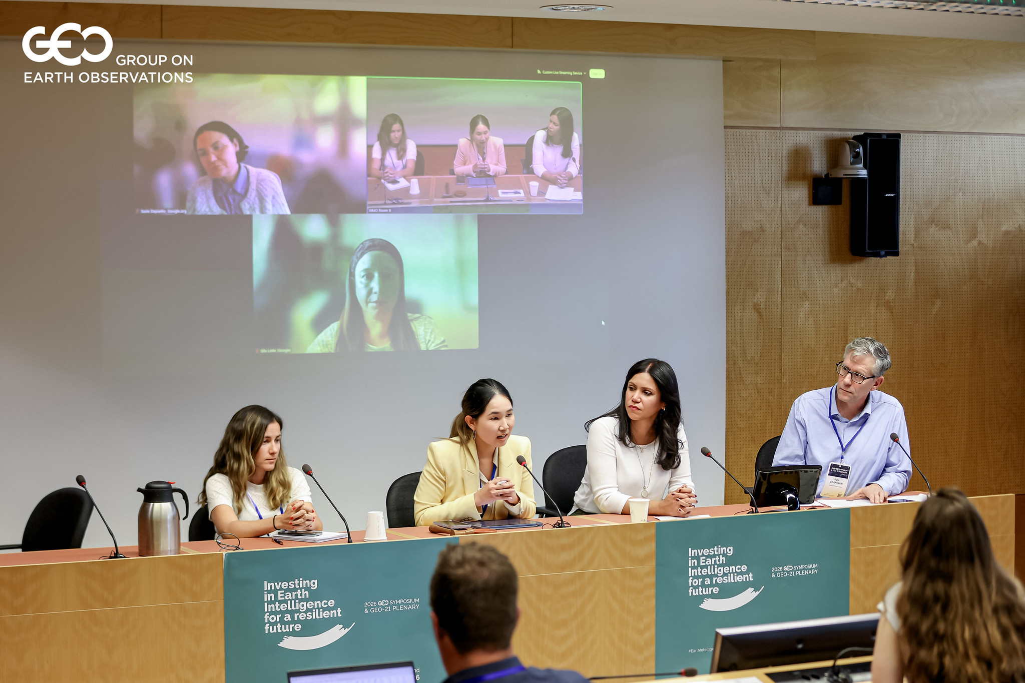
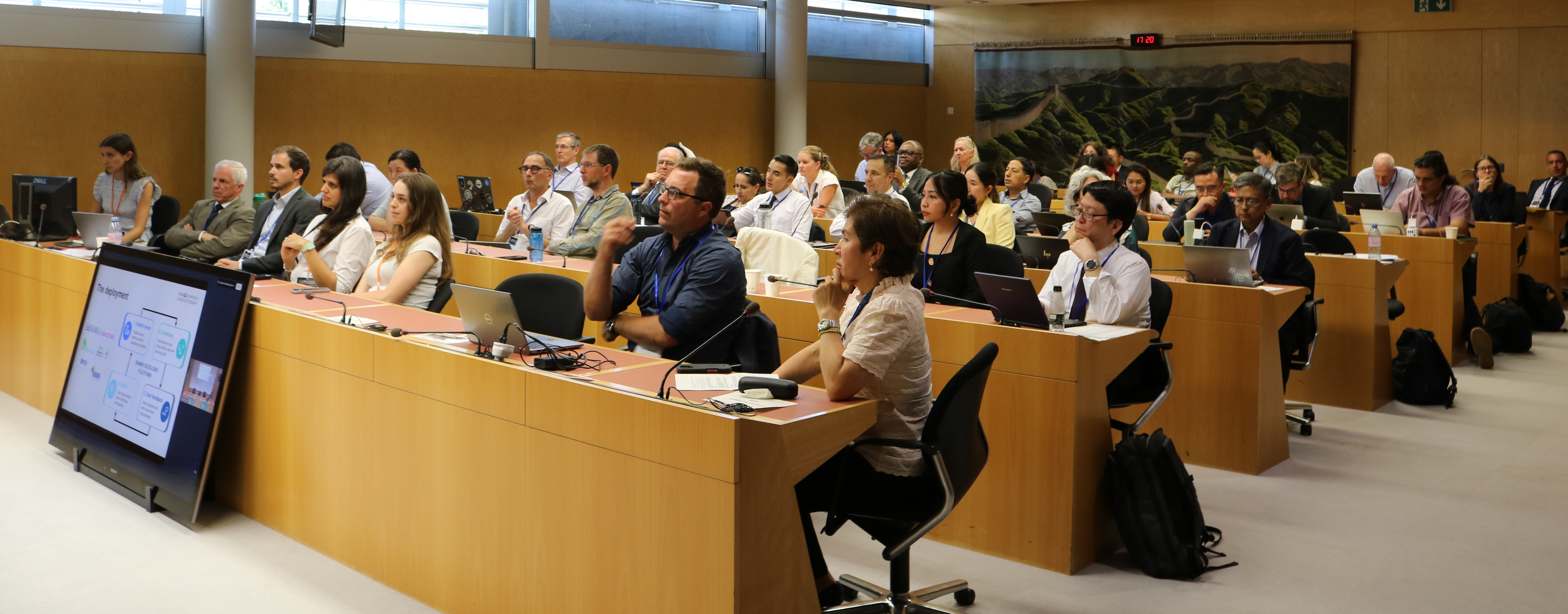
That's the quiet tension running under water security, and it's what brought speakers from ICIMOD, IUCN, WMO, Google.org, and other regional and national institutions at the 2026 GEO Symposium Community Event Water Security is Global Security.
Their shared message: water security depends not only on better forecasts, but on trusted, shared information. The discussion explored how open Earth intelligence is helping communities, institutions, and countries make decisions together across borders and river basins.
What Water Can Teach Us About Trust
Over the past decade, something genuinely new has been built: a shared, trusted version of the truth for the one resource civilizations have been fighting over since the beginning of recorded history. Religions gave the world a shared belief. Empires gave it shared currency. Water never had its equivalent - and building one was never going to happen through a single institution acting alone. It took a coalition, one that has steadily grown over ten years. At the center sits the GEOGLOWS River Forecast System, an open, global river forecasting system. Around it, partners who do the harder work of turning that intelligence into action: setting the data standards that make it credible, translating it regionally, and investing in the people who ultimately decide whether to trust it.
As Maria Carreño of IUCN put it, this kind of reference "shifts the discussion from whose data is right to what the evidence suggests", which may be the quietest, most consequential thing a piece of data can do.
A quiet kind of diplomacy
Here's a case worth sitting with. In parts of Southeast Asia, an upstream country stopped sharing its river data. GEOGLOWS's open forecast, carried into communities by regional partners, became the only shared reference left. Communities on both sides of the border started working off the same numbers. Not because a treaty told them to, but because the information was simply there, free, and owned by no one country in particular.
As Birendra Bajracharya from ICIMOD described it, this is what it looks like when global reference data fills a gap nobody else can:
“countries quietly start operating from the same picture of reality. Nobody signed a treaty. The river just got easier to agree on.”
That might be the more interesting story here, not faster disaster prediction, but a shared starting point for conversations that have historically started with conflict.
The harder, slower work ahead
None of this works on data alone, though. A forecast nobody trusts is just a number on a screen. In Ecuador, nothing really changed until INAMHI, the national weather agency, made the forecast their own, testing it, validating it against their own records, building it into actual decisions, eventually informing choices made at the presidential level during an energy crisis.
As Juseth Chancay of Ecociencia/INAMHI put it,
"global models do not create an impact on their own. Impact happens when data is translated, validated, owned, and used by national institutions for decision making”.
In the Hindu Kush Himalaya, the same principle brought something measurable: forecast lead time grew from two days to fifteen, time communities used to actually move. That kind of trust doesn't come installed with the software. It gets built over the years, by national institutions, regional partners, and funders willing to invest as much in people as in code, and the circle of partners willing to make that investment keeps widening.
Which is, in the end, the real point. Technology was the easy part. What decides whether Earth intelligence reaches the people who need it is something older and slower: whether a coalition of institutions, anchored by GEOGLOWS, carried forward by its partners, is willing to put in the years of trust it takes to turn a forecast into a decision, and a decision into a life saved.
The next basin without a shared reference, the next country quietly withholding upstream data, the next community waiting on a forecast it doesn't yet trust, that's where this work goes next. For anyone in the GEO community wondering where to put their effort, that was perhaps the strongest takeaway from Water Security is Global Security: not in building a better model, but in building the next twenty years of trust around one.