How Africa uses Earth Intelligence to combat infectious disease

Earth Intelligence is transforming how we understand and respond to health risks across Africa. Organised by the GEO Health Community of Practice (CoP) and AfriGEO, the third annual Special Edition: Focus on AfriGEO webinar showcased 23 projects redefining the way complex health risks are managed using satellite technology, geospatial data, artificial intelligence and large learning models.
The first session focused on air quality challenges, from monitoring wildfire plumes to examining urban air pollution, with 12 innovative projects paving the way.
The second session was all about infectious disease challenges, from forecasting cholera outbreaks with satellite data to optimising healthcare facility locations, with 11 innovative projects paving the way.
Learn more about these projects on the GEO Health CoP website.
Cholera forecasting powered by satellite data
Satellite remote sensing provides a powerful, proactive approach to predicting and preventing deadly waterborne disease outbreaks, such as cholera in Africa.
Presented by Antarpreet Jutla, University of Florida, USA
Tracking spatiotemporal and genetic dynamics of global avian influenza with remote sensing
Researchers utilise high-resolution remote sensing to track how migratory birds, poultry networks, and environmental shifts influence the spread of avian influenza viruses, with the aim of creating a general prediction and control framework.
Presented by Bing Xu, Tsinghua University, China

Countering migratory pests and plant diseases with remote sensing monitoring and habitat forecasting
The Global Vegetation Pest and Disease Dynamic Remote Sensing Monitoring and Forecasting (GEO-PDRS) system utilises multi-source data and AI to provide timely monitoring and early warning systems for rapid, science-based emergency responses, particularly supporting African countries facing outbreaks and biological invasions.
Presented by Wenjiang Huang, Aerospace Information Research Institute, Chinese Academy of Sciences, China
Leveraging GIS and predictive modelling for meningitis preparedness in Côte d'Ivoire
In response to the 2023 West African meningitis outbreak that resulted in over 17,000 suspected cases across 23 countries, this study utilises GIS and statistical methods to investigate the relationship between environmental drivers and meningitis incidence in Côte d'Ivoire.
Prepared by Tano Brou Axelle Devernode, Centre Suisse de Recherches Scientifiques en Cote D'Ivoire, Ivory Coast
Operationalising the Environmental Health Intelligence Hub in Nigeria
Nigeria's Earth observation-enabled environmental health intelligence hub integrates diverse geospatial and health data to provide a scalable analytical framework for multi-agency situational awareness, predictive early warning systems, and proactive public health interventions.
Prepared by Tubolayefa Warekuromor, National Space Research and Development Agency, Nigeria
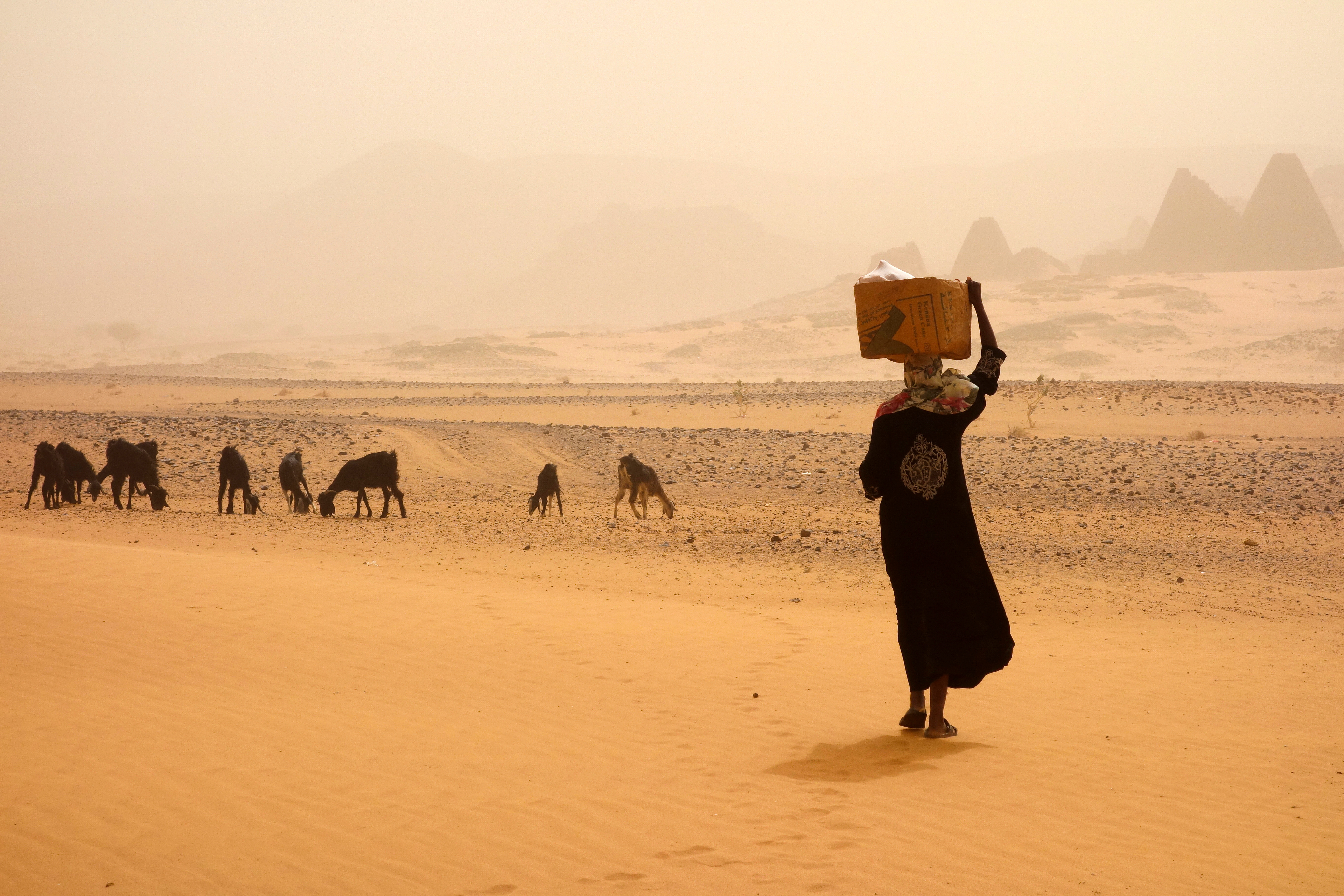
Mitigating public health risks with early warning systems for heatwaves and rainfall variability in Sudan
Harnessing Earth observation data, this project develops early warning systems for heatwaves and informs water and sanitation management across health and meteorological agencies in Sudan, mitigating public health risks from extreme heat and waterborne diseases in vulnerable communities.
Prepared by Haitham Khogly, Sudan Meteorological Authority, Sudan
Harnessing geospatial techniques to optimise healthcare facility locations in North-Central Nigeria
Leveraging geospatial analysis techniques, researchers identify the optimal placement of healthcare facilities across Kogi and Nasarawa States in Nigeria to address inadequate healthcare coverage and improve public health access.
Prepared by Mustapha Aliy, National Space Research and Development Agency, Abuja, Nigeria
Incorporating environmental determinants of malaria into predictive models in Ethiopia
The EPIDEMIA system enhances vector-borne disease surveillance and prediction by studying the impacts of climate and land cover dynamics on malaria epidemics in Ethiopia, supporting disease forecasting and risk mapping for decision-makers.
Prepared by Michael Wimberly, University of Oklahoma, USA
Mapping malaria risk in West Pokot County, Kenya
This project integrates Earth observation data on rainfall, temperature, and vegetation to develop high-resolution risk maps and predictive early-warning tools for targeted malaria prevention and control strategies in West Pokot County, Kenya.
Prepared by Rev. Kigen Kipchirchir Benard, National Council for Population and Development, Kenya
Data-driven forecasting for malaria early warning systems in Africa
Tackling the devastating malaria burden in Africa, where Nigeria alone accounts for 27% of global cases, researchers present deep learning methods that integrate environmental, sociodemographic, and public health data to create predictive models for targeted interventions.
Prepared by Usman Nazir, University of Oxford, UK
Enhancing next-generation larval source management for malaria control
This multidisciplinary project integrates AI-driven remote sensing with field trials, socio-behavioural studies, and cost-benefit analyses across multiple Ethiopian cities to precisely map and target urban habitats of the invasive Anopheles stephensi mosquito.
Presented by Xiao Huang, Emory University, USA
Data-driven approaches that incorporate Earth science data and technology with ground-based observations are essential to address complex public health and environmental risks.
Find out more on the GEO Health CoP website.