Highlights from COP30: Scaling Earth Intelligence for climate adaptation
One thing was clear at COP30 in Belém: countries need more Earth observation support – and they need it fast. Across UN Climate Change (UNFCCC) sessions and partner events, there were numerous examples of how the GEO community helps governments access data to more effectively respond to climate risks. At the same time, many discussions highlighted opportunities for GEO to go even further to meet these fast-growing demands.
Earth Information Day reflected expanding role of Earth observations
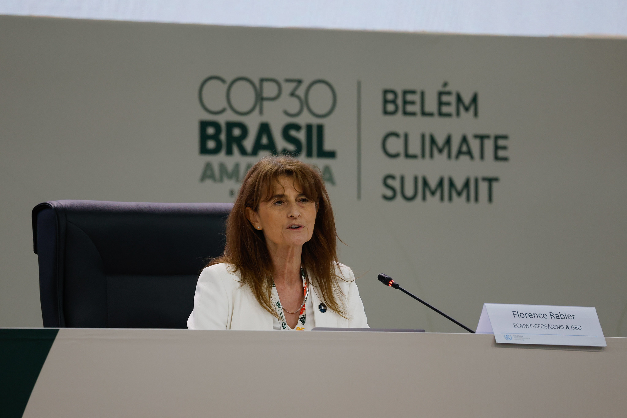
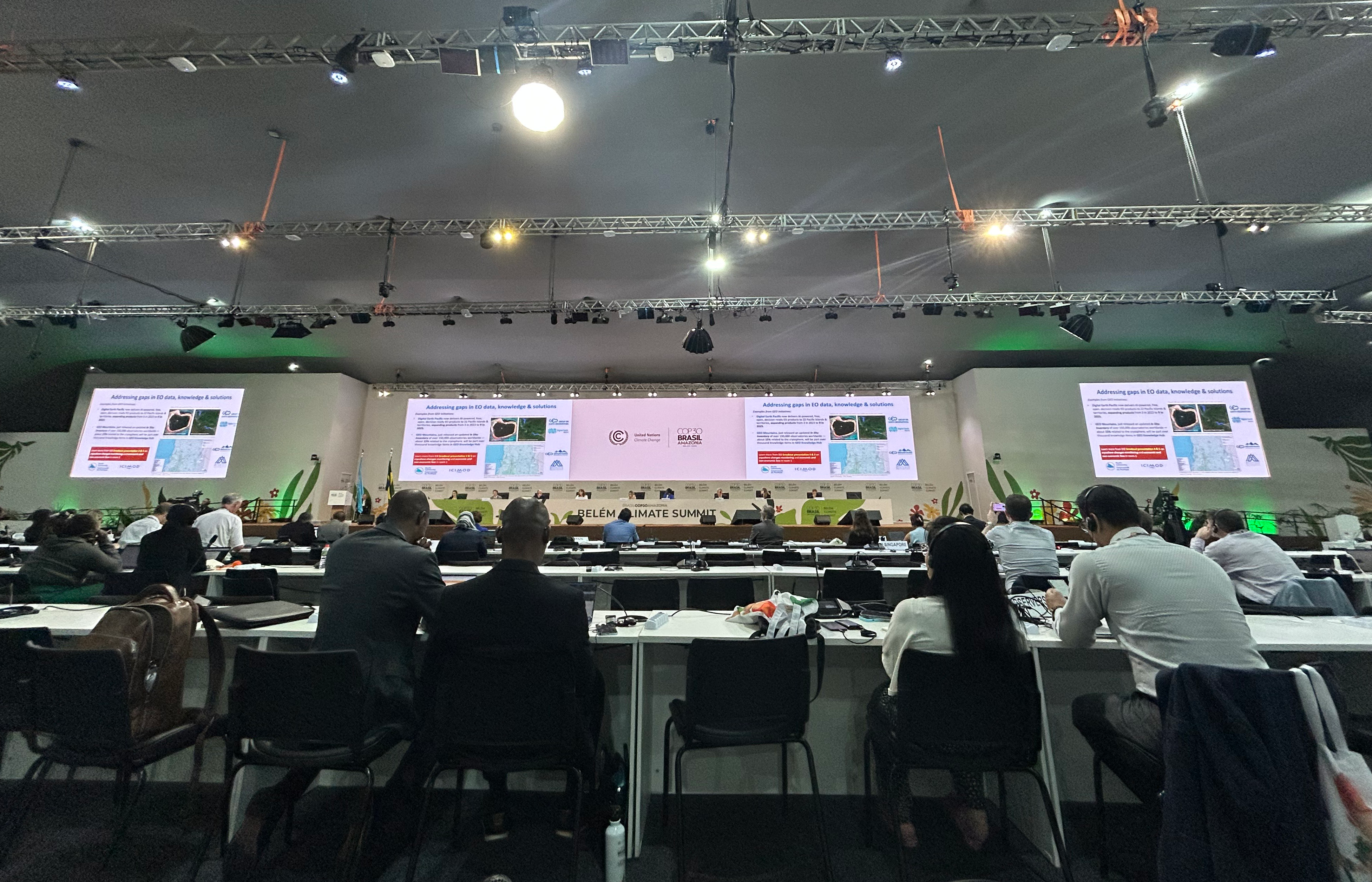
During Earth Information Day (EID) 2025*, this trend was especially visible. The GEO update, delivered by the Committee on Earth Observation Satellites (CEOS) through Florence Rabier (GEO Principal of the European Centre for Medium-Range Weather Forecasts), highlighted several GEO Work Programme initiatives driving climate action.
This included GEO’s new collaboration with the World Meteorological Organization and Global Climate Observing System through the EU-funded iClimateAction initiative in strengthening the Earth observation value chain for Essential Climate Variables, with pilot activities underway on urban heat and ecosystem resilience.
Also showcased during EID:
- Two new supplements to the UNFCCC national adaptation plans Technical Guidelines have been developed by GEO initiative partners. One focuses on coastal and ocean adaptation, led by GEO Blue Planet partners, and one on land degradation neutrality, produced by the UN Convention to Combat Desertification and UN University’s Institute for Environment and Human Security, with inputs from GEO-LDN.
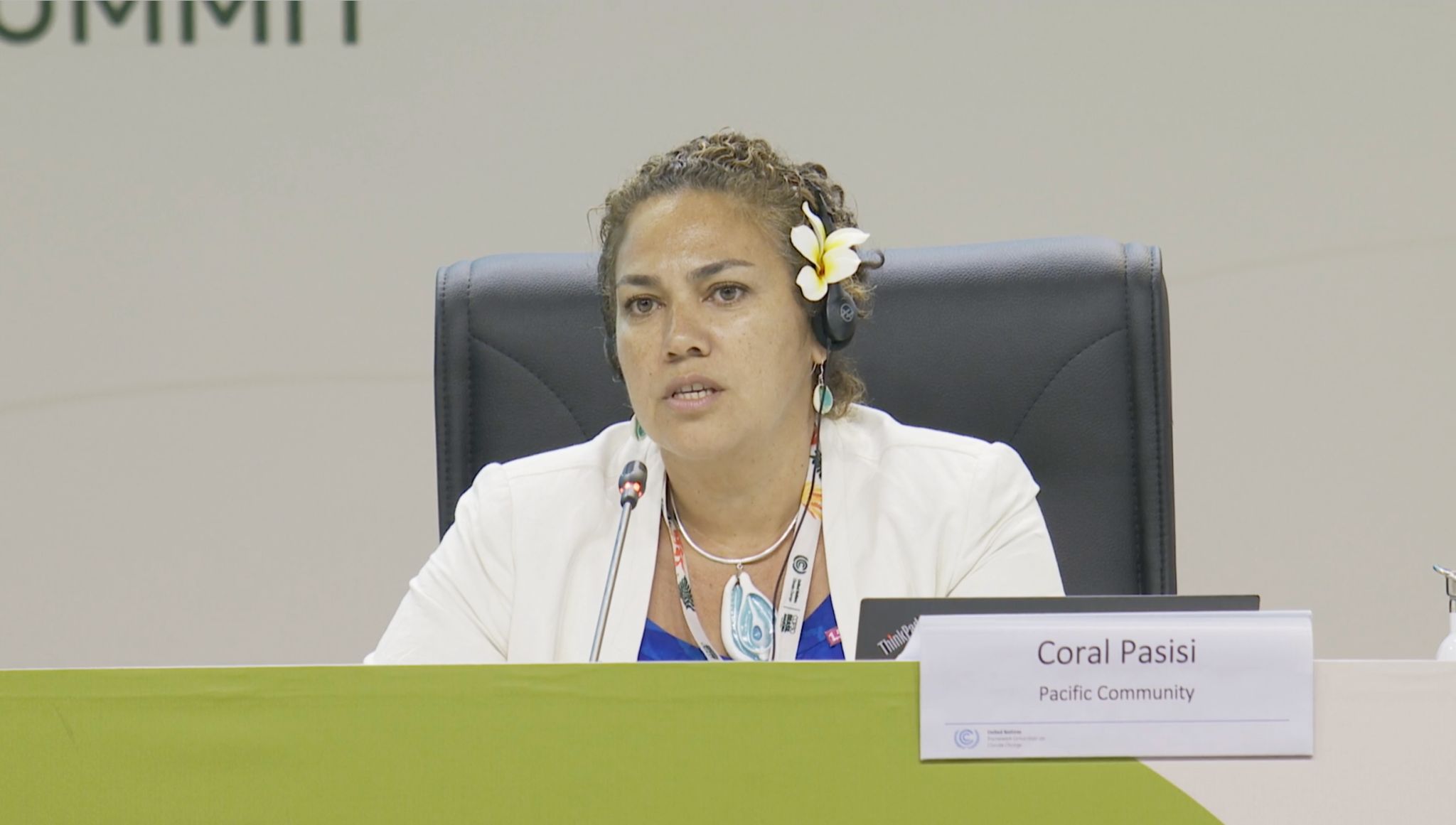
- Digital Earth Pacific now provides AI-powered, free, decision-ready datasets to all 22 Pacific Island countries and territories, expanding from three regional products in 2023 to nine in 2025. As Coral Pasisi (Pacific Community) explained, these datasets help countries assess economic and non-economic loss and damage.
- GEO Mountains released a major update to its In Situ Inventory, now covering more than 150,000 observatories, including extensive cryosphere-relevant sites.
- Sudan Bikash Maharjan (ICIMOD) shared how Earth observation data is being used to generate facts and figures of glacier changes across the Hindu Kush Himalaya Region. He also highlighted its role in rapid response mapping and situational awareness of cryosphere related disasters such as glacial lake outburst flood and landslides, providing critical support for national disaster authorities facing fast-changing risks.
- At the Moana Pavilion, the Secretariat of the Pacific Regional Environment Programme (SPREP) presented the new Emma Luke Earth Observation Centre, which will expand access to satellite data and geospatial tools and support Pacific countries in applying them to climate planning, disaster preparedness and environmental reporting to multilateral environment agreements.

Looking ahead to COP31
The momentum at COP30 confirmed what the latest Nationally Determined Contributions Synthesis Report showed: countries increasingly see Earth observation data as essential for coastal adaptation, cryosphere monitoring, early warnings and loss-and-damage assessments.
GEO will continue strengthening these areas with partners, bringing Earth Intelligence for All to the forefront of climate action as we head towards COP31 in 2026.
* Also see EID Information Note (e.g. para 31 for GEO’s contribution) and the Research and Systematic Observation (RSO) conclusions.