From Tonga to Geneva: What AI for Good Taught Me About the Gap We Still Need to Close
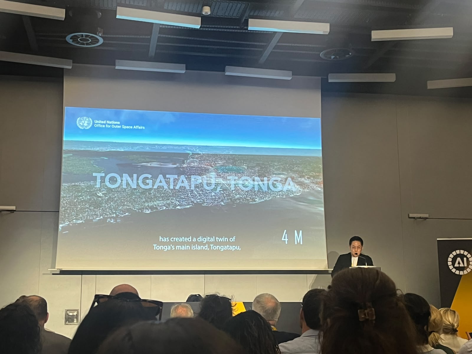
When I presented at the AI for Early Warnings for All workshop at the AI for Good Global Summit in Geneva this July, I was not surprised by the technology. I was surprised by who was not in the room.
The session was full. Policymakers, researchers, and UN colleagues from around the world were there. But I could count on one hand the participants from Small Island Developing States, especially Pacific island communities. These are the people most at risk from the disasters we were discussing. That felt wrong to me.
What We Showed
I presented the Tonga Disaster Preparedness Pilot, which is part of our Earth Observations for Disaster Risk Management (EO4DRM) work with GEO through UN-SPIDER, a programme implemented by UNOOSA.
Tonga has over 100 islands and very limited resources. When we started in December 2023, there was no reliable building dataset for the country. We used 30cm satellite imagery and deep learning to map over 34,000 buildings on the main island. We also looked at stereo observation photogrammetry as a complementary approach using conventional satellite technology. Together, these built a digital twin that helps authorities visualize coastal risk and provides a foundation for evacuation planning in future activities.
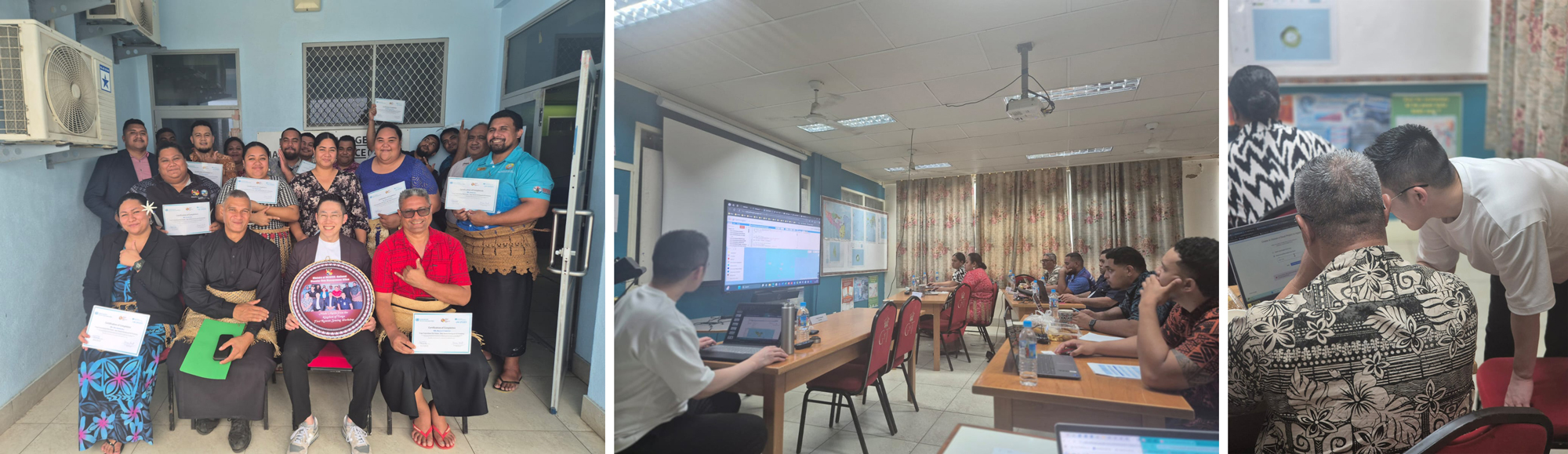
I visited Tonga in December 2024 to run a remote sensing and GIS workshop. I was really happy to see the enthusiasm from local ministries. They wanted to know how to use 15 to 30cm imagery for things like palm tree detection and building footprint mapping. The technology was not the problem. Access was.
The Question I Could Not Answer Easily
The session had many great presentations, including ECMWF's AI forecasting and WMO's AI Forecast in a Box pilot in Malawi. But the question that stayed with me came during Q&A, when someone asked: can you scale this to the rest of the Pacific?
My honest answer: the method is ready. The data is not.
Most Pacific island nations are barely in global open datasets. OpenStreetMap is sparse. Microsoft's building footprints miss many small communities. The GlobalBuildingAtlas, published in late 2025, is good progress but still needs validation for small island contexts. When disaster hits, responders work without the basic data they need.
What excited me most at the Summit was AI for near-real-time evacuation route optimisation, combining early warning data, weather forecasts, and IoT sensor feeds. This is exactly where we want to go next, across other islands of Tonga and beyond.
What Comes Next
Generative AI is moving fast into early warning workflows. NOAA's Ask NWS tool creates multilingual safety messages automatically. AI platforms now send voice alerts to non-literate communities. Agentic AI is starting to automate incident classification and data integration in the critical hours before a disaster.
What excites me most is combining all of this with space technology, from Earth observation and communication satellites to positioning systems, alongside IoT sensors and digital twins, to give communities real guidance before disaster strikes. It is an ambitious goal. But I think it is the right direction for Pacific Island communities and others who need it most.
Generative AI can speed up decisions. But it cannot build the institutional foundations underneath. That is what UNOOSA/UN-SPIDER, as a GEO Participating Organisation under EO4DRM, keeps working on through capacity building with those communities.
The room in Geneva was inspiring. But I will feel real success when people from those island communities are in the room next time. Not just their problems.
-----
See more about the story of Tonga Disaster Preparedness Project is here. This blog is part of a series based on the AI4Good Global Summit 2026, including the summary and the Youth GeoAI session.