Bridging the gaps: Earth Observations for improved flood resilience
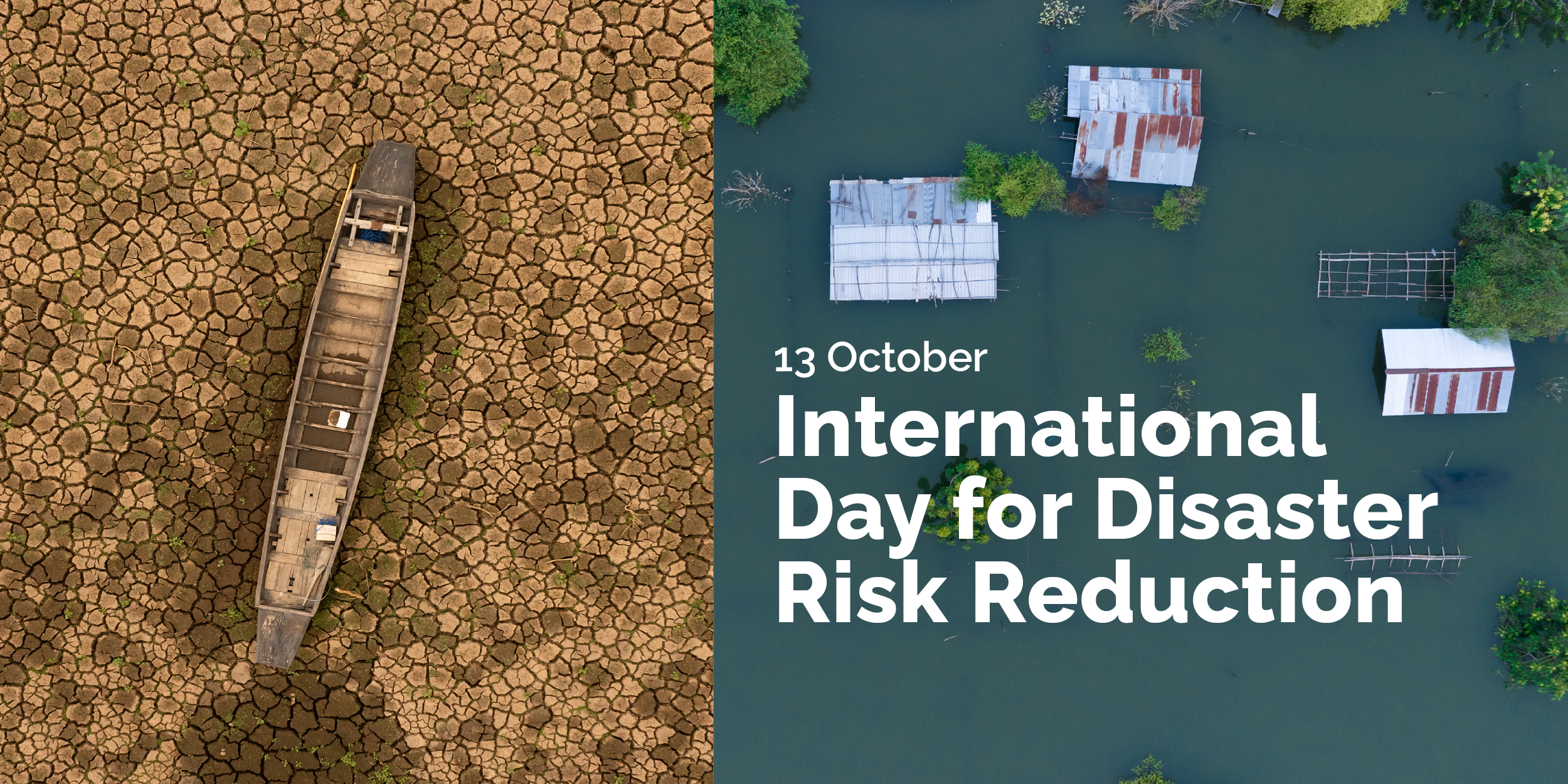
Improving flood resilience means strengthening a community's ability to anticipate, withstand and recover from floods. The theme of this year’s International Day for Disaster Risk Reduction, “Resilience Starts at Home”, reminds us of the importance of making flood risk information accessible.
At the GEO-associated Global Flood Partnership (GFP) Conference in August, Earth observation scientists and practitioners identified a number of important gaps in Earth observation-based flood monitoring and mapping, as well as opportunities to address them in a way that makes data actionable.
This year’s three-day conference drew about 70 people to Provo, Utah, USA, where the Hydroinformatics Lab of Brigham Young University hosted the event. Participants focused on turning recent advances in hydrological science, climate research, Earth observations, artificial intelligence and digital technologies into reliable operational services.
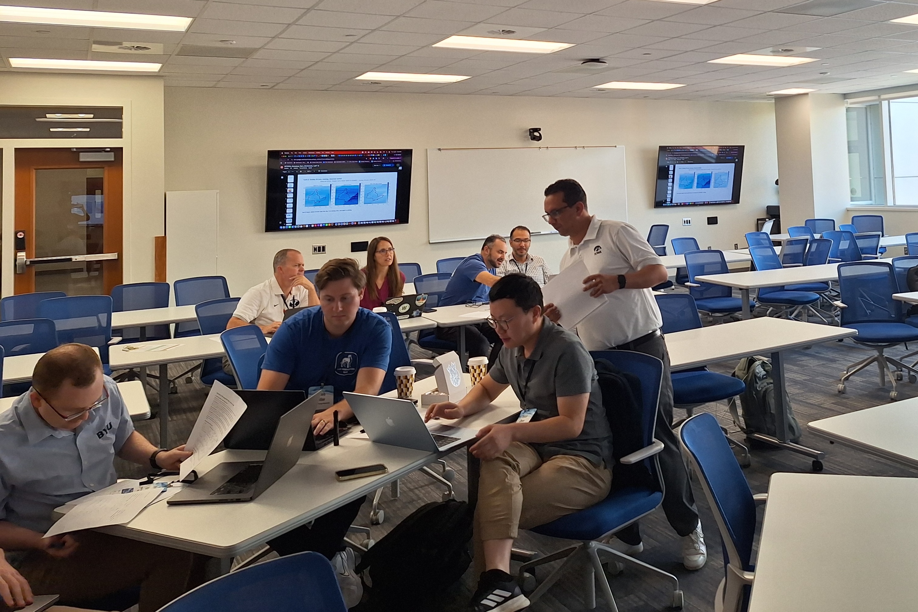
At one of the thematic workshops, “Earth Observation for Flood Resilience”, participants examined how Earth observations can better support flood-resilient communities by moving beyond emergency response toward services that are impact-oriented, user-driven and integrated into day-to-day operations. Discussions covered available flood data (radar, optical and beyond), data gaps, product validation and ways to address the gaps.
Identifying the gaps
The flood Earth observation ecosystem is full of useful but fragmented data products, scattered across sensors and providers in ways that make it hard for users to know which product fits their needs. While various platforms exist, users face challenges in discovering, accessing, and comparing flood products and tools.
There is also a temporal gap in satellite overpasses, leaving observational blind spots for flood monitoring. Urban environments remain a particular challenge, highlighting the need for better integration of local information. Finally, research products often struggle to become operational.
Closing the Gaps
As conference chair, Albert Kettner left everyone with a clearer sense of where partnerships could help address these challenges. Several concrete ideas emerged, such as combining complementary observations and merging multi-sensor satellite data to reduce temporal gaps, improve flood characterisation, and support better flood monitoring.
A key message from the workshop was that users urgently need better ways to discover appropriate flood products. Building on existing resources, such as the GEO Knowledge Hub, helps improve access to key tools. To help research products cross into operational use, the group emphasised the need for sustained funding and clearer pathways to adoption.
The opportunity for GEO is to explore how these urgent needs can be addressed collaboratively to strengthen Earth observation-based flood monitoring and flood resilience.
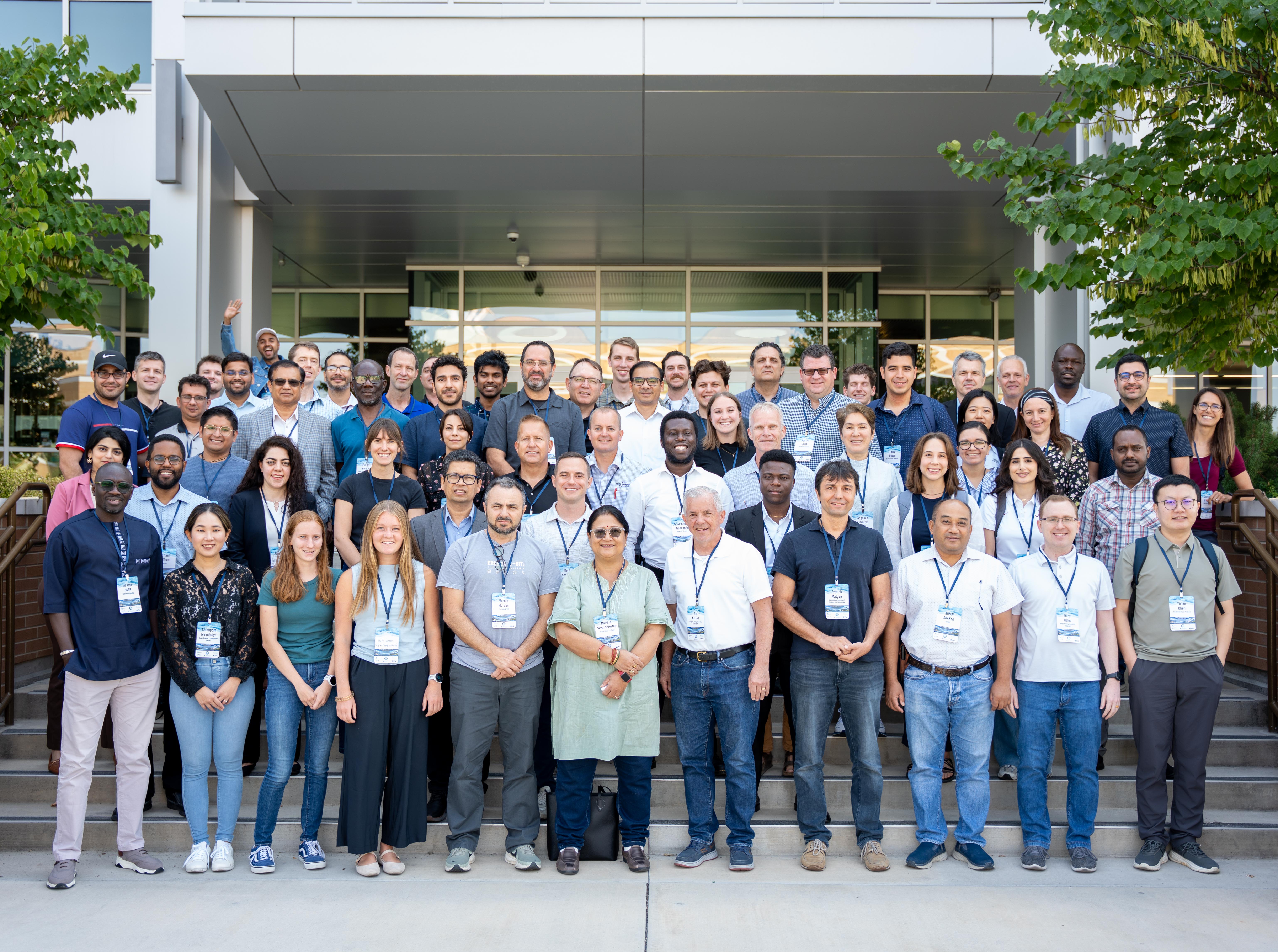
Special thanks to Colin Doyle from Floodbase, who co-organised the workshop with Patrick and Brandi, and all participants. The conversations during the workshop sharpened our everyone's views on where Earth observation for flood resilience needs to go next.