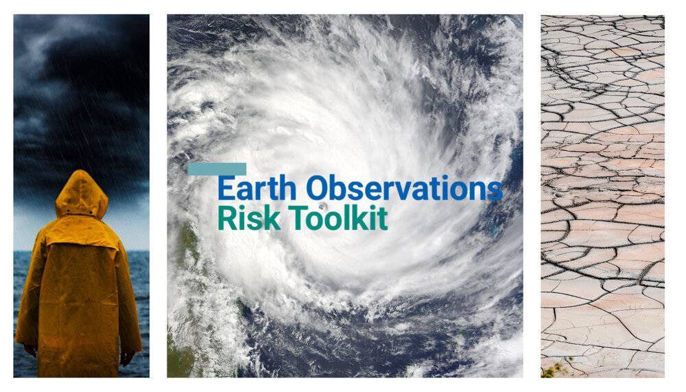
New toolkit highlights Earth observation solutions for Disaster Risk Reduction

A new toolkit unveiled today aims to realize the potential of Earth observations (EO) to contribute to disaster risk reduction and management.
The Earth Observations Risk Toolkit, presented at the 7th Session of the Global Platform for Disaster Risk Reduction, was developed by the Group on Earth Observations in collaboration with United Nations Office for Disaster Risk Reduction (UNDRR) and with technical support from Esri.
The toolkit provides users with direct access to open source EO tools, services and methodologies, as well as technical guidance, to fill knowledge gaps on hazards, vulnerabilities and exposure at country level.

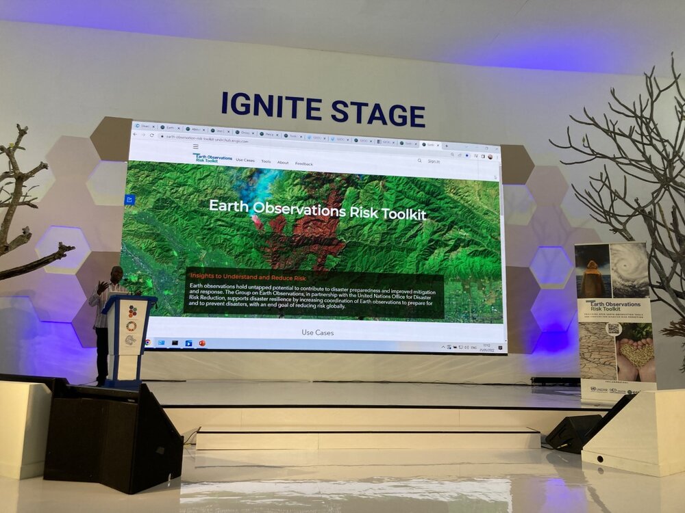
Presenting the Earth Observations Risk Toolkit on the Ignite Stage
It also provides content, including use cases on the tools, services and methodologies that government decision makers have used to address hazards that could cause disasters and assess options to deal with them.
The four use cases currently in the toolkit demonstrate how:
In Honduras, a precipitation and flood forecasting tool helped state-owned power company manage reservoir before a major hurricane, reducing damage and economic losses;
In Haiti, an EO-based service supported post-disaster needs assessment and recovery planning following the 2021 earthquake and a tropical storm;
In Uganda, a crop monitoring and early warning system enabled proactive drought response, and;
In Ecuador, EO methodology and tools enabled Sendai Framework reporting for indicator B-5a on the impact of flooding.
The toolkit is an integral part of UNDRR’s flagship initiative called the Global Risk Assessment Framework (GRAF), and its Risk Information Exchange (RiX) to address integrated systemic risks.
The toolkit is available here