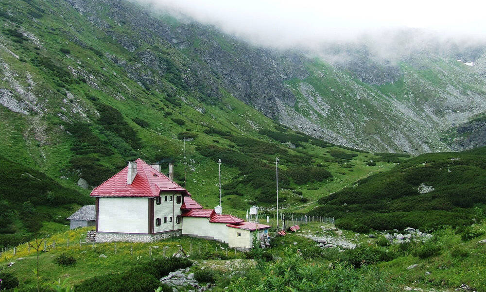
Mountain case study boosts understanding of in situ monitoring network coverage
It is well recognized that, at a global level, in situ data coverage is often sparse and irregular. However, in many specific regions and disciplines, there remains no detailed understanding of network coverage.
In a recent article in the open access journal Frontiers in Climate, my co-authors and I aimed to fill this knowledge gap with respect to freely accessible climatological monitoring data from across the world’s mountain regions, as a contribution to GEO Mountains.
These regions provide many crucial ecosystems system services to humanity, not least water, and are highly threatened by ongoing climate change.
The paper’s key conclusions, which may have high relevance for international organizations with climatological monitoring mandates, are that:
- Spatial patterns of mountain data coverage are highly uneven;
- Station densities in several 'Water Tower Units' that were previously identified as having great hydrological importance to society are especially low;
- A number of mountainous regions whose elevational distribution is severely under-sampled by Global Historical Climatology Network daily (GHCNd) stations could be identified, and;
- Mountain station density is only weakly related to the human population or economic output of the corresponding downstream catchments.
A similar approach could be replicated for other in situ environmental monitoring networks thanks to the open science approach taken. Further background information about the study can be found here.
Aside from GHCNd, data accessibility remains a key issue that is raised frequently in the Regional Data Surveys that GEO Mountains have been conducting recently. Despite GEO’s large membership, a considerable proportion of in situ data from national monitoring agencies appears to remain behind a paywall in practice. Novel and equitable solutions are required to address this.
Informed by such scientific contributions and stakeholder engagement activities, the GEO community must continue to strive to improve the in situ data situation. Numerous specific steps being undertaken include:
- Communicating the need for better use, management, and sharing of in situ data across the GEO Work Programme;
- Advocating the further adoption of open data policies;
- Increasing awareness of the importance of in situ data (including in conjunction with remotely sensed data)
- Improving the sustainability and reliability of in situ monitoring networks, and;
- Encouraging the deployment of novel sensors and citizen science.
To read more about progress towards a GEO In Situ Data Strategy, please see the GEO’s Data Working Group’s September 2021 submission to the Programme Board. The Data Working Group is currently undertaking consultations with GEO Work Programme activities including their in situ data needs and challenges.