Leveraging geospatial data to rescue the SDGs
In September last year, UN Secretary-General António Guterres told the world that the Sustainable Development Goals needed a global rescue plan. More than halfway to the 2030 target date, many of the goals are significantly off track.
The hope that came with the aim of the SDGs leading to a future of "peace and prosperity for people and the planet” has now turned to alarm. “Instead of leaving no one behind, we risk leaving the SDGs behind,” remarked Guterres.
A significant part of the problem lies in inadequate data, measurement and reporting mechanisms, all of which hinder progress and obscure the true picture of where the world stands in achieving these ambitious goals.
So what’s the solution?
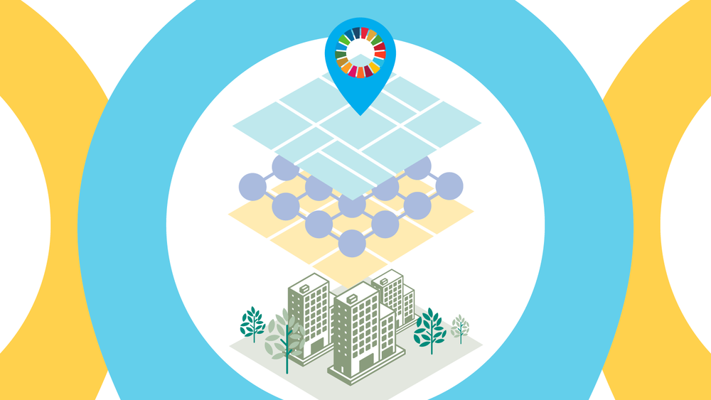
Geospatial information, including Earth observations, can play a crucial role in rescuing the SDGs by providing more accurate, timely and granular data that can inform decision-making and accelerate progress.
“The challenges we face are formidable - but not insurmountable,” said Navid Hanif, UN Assistant Secretary-General for Economic Development, at the 14th session of the UN Committee of Experts on Global Geospatial Information Management (UN-GGIM) in August.

UN-GGIM Fourteenth Session, UN HQ, New York NY. Source: David Borges.
Harnessing data for change
Held annually at UN Headquarters in New York, UN-GGIM is the official UN forum for coordination and dialogue around the use of geospatial technologies.
Both the Group on Earth Observations (GEO) and the Committee on Earth Observation Satellites (CEOS) were represented at UN-GGIM, continuing their collaboration to ensure that all forms of geospatial data, including satellite Earth observations and in-situ observations, are used to inform national reporting on the SDGs.
GEO and CEOS also contribute to the Inter-agency and Expert Group on the SDG Indicators (IAEG-SDGs) Working Group on Geospatial Information (WGGI). The Working Group’s capstone work this year has focused on drafting a key paper on how geospatial information can transform and rescue the SDG indicators. The paper will propose the following areas for action:
- Strengthening guidance on how SDG indicators can be disaggregated by geographic location.
- Highlighting the need to consider improvements to the SDG indicator metadata.
- Providing better guidance on how geography impacts the indicators.
- The role of new data technologies and global datasets for enabling local and national SDG monitoring
UN-GGIM welcomed the paper’s concept at this year’s UN-GGIM Session, with adoption by the IAEG-SDGs expected in the coming months.
WGGI is also reviewing the metadata of relevant SDG indicators to highlight sources of geospatial information (including Earth observation) that can support the production and use of these indicators.
There's still a lot of work to be done to rescue the SDGs, but there is now a window of opportunity to change how some of those indicators are produced and monitored. The innovative use of Earth observations can also play a key role in this transformative process, particularly as we look towards the sustainable development agenda post 2030.