Harnessing AI for Earth observations for All
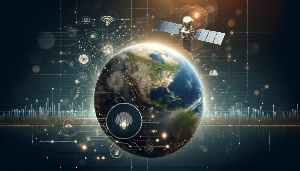
In this age of rapid technological advancement, artificial intelligence (AI) has emerged as a powerful tool transforming the ways we study and protect our planet. From monitoring climate change to preserving biodiversity, AI-driven technologies empower researchers to gather and analyse data with heightened levels of precision and efficiency.
Traditional methods of data collection and analysis are often time-consuming and labour-intensive. AI can help automate many of these processes, providing real-time insights and predictive analytics that will be crucial for addressing environmental challenges.
AI in action
GEO Work Programme activities have started using AI. In a survey conducted in early 2024, around half of GEO Work Programme activities identified themselves as advanced or medium in the level of AI applications. Much of the use of AI for Earth observation is related to image classification, change detection and predictive modelling.
Global Water Sustainability Initiative (GEOGLOWS) is a GEO initiative providing flood forecasts globally with 15-days lead time based on historical data and near-term observations. AI methods are used to train the global model with available local in-situ measures to capture similarities in hydrological behaviors so that river runoff and discharge forecasts can be made for areas without gauges.
In March 2023 January 2022 GEOGLOWS helped the government of Malawi put in place flood early warning and enabled people to take early actions.
Global Agricultural Monitoring (GEOGLAM) is another GEO flagship initiative, which produces timely and actionable information on agricultural conditions and outlooks of production.
AI methods are used to train models with satellite data and in-situ data, then predict where, when and what crops are growing with improved accuracy, efficiency, and reduced cost. Combining this with meteorological data, forecasts on final harvests can be made.
In 2023, GEOGLAM helped issue early warnings of poor maize harvest in the central Ethiopia and northern South Sudan and informed necessary actions such as food aid.
The AI for the Belize National Marine Habitat Map comprises a machine learning-based mapping of the Essential Biodiversity Variable (EBV) of ecosystem extent and fragmentation. These maps provide updated estimates of the status of Belize’s major coastal and marine ecosystems and allow the country to report on its Nationally Determined Contributions.
AI application beyond image analysis
AI’s applications are much more diverse than image analysis. For example, researchers have been using machine listening to monitor climate change impacts on neotropical amphibians through sound detection and analysis in Brazil and Colombia.
Autonomous devices are used to record the sounds of frogs and toads for extended periods. The results, corresponding to millions of data points, would normally take decades to process manually. But with cloud computing support from the GEO-Microsoft Planetary Computer Programme, the team developed an AI system that identifies each species’ activity based on their unique sounds.
The processing of these detections in the cloud platform took less than a week and resulted in recognising the calls of 42 distinct species in two tropical conservation hotspots – the Atlantic Forest and Cerrado biomes. This non-invasive approach not only enhances the accuracy of data but also ensures the well-being of these delicate ecosystems.
GEO contributes to the global vision of “AI for Good”
As AI technology continues to evolve, the potential applications in Earth observations are vast. Future advancements could lead to even more sophisticated models that integrate complex data sets from multiple sources, providing a comprehensive understanding of our planet's health.
These innovations will be instrumental in guiding policy decisions, driving conservation efforts, and fostering sustainable development.
GEO is not the only organization advocating and applying AI for the public good.
UNFCCC has launched the AI4ClimateAction Initiative for advancing and scaling up transformative climate solutions for mitigation and adaptation action in developing countries with a focus on least developed countries (LDCs) and small island developing States (SIDS).
GEO Secretariat Director Yana Gevorgyan presented the examples of GEOGLOWS and GEOGLAM as GEO contributions at UNFCCC’s High Level Event on AI at COP28 in Dubai(see also: IISD summary) -- notable for being an event hosted by the UNFCCC’s constituted bodies, involving both ministers and the COP presidency.
The World Meteorological Organization (WMO), which is “making a strategic shift to integrate AI to advance Earth system science”, recently presented promising AI language models that have been designed to facilitate access to reliable and easy to understand information on climate action.
The International Telecommunication Union (ITU) has been convening relevant UN agencies and AI innovators to identify practical AI solutions for Sustainable Development Goals. At the 2024 AI for Good Summit, several leaders from the GEO community contributed to sessions. You can watch these sessions below.
KTH Royal Institute of Technology’s Dr Yifang Ban, lead of the proposed GEO AI4EO Subgroup, was part of a discussion on the use of AI for the future of climate prediction.
Inbal Becker-Reshef of NASA Harvest (GEOGLAM partner), Bolivar Erazo of the National Institute of Meteorology and Hydrology (INAMI), Ecuador (GEOGLOWS partner), and Bapon Fakhruddin of the Green Climate Fund (GEO PB member) were part of a session on the use of AI in early warning systems to accelerate the implementation of the Early Warnings for All Initiative.