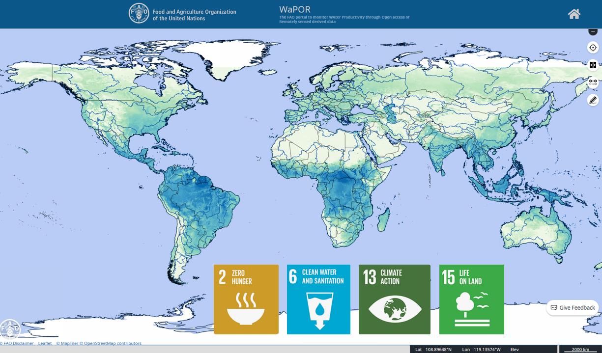
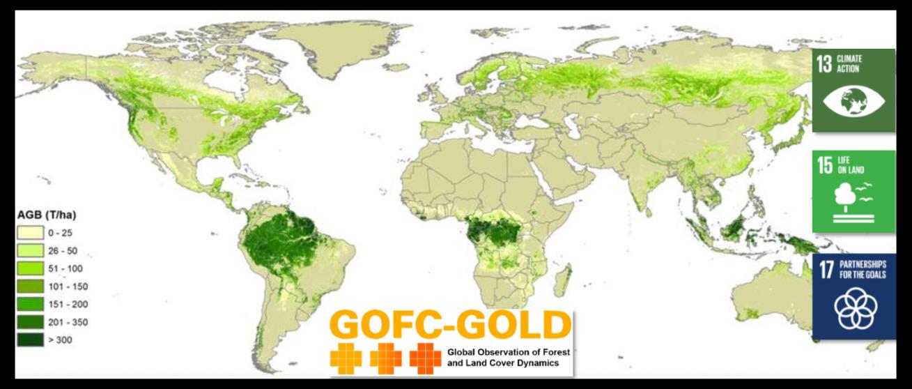
Geodata are used by the Verified Sourcing Areas (VSA) of the Sustainable Trade Initiative (IDH) and partners to verify outcomes at landscape level, such as deforestation rates, included in Produce, Protect, Include compacts. Doing this, spatial data are used by local stakeholders, including government and private sector, driving sustainable production and international partners, like retailers and brands, for sustainable sourcing.
Omer van Renterghem Department of Inclusive Green Growth, Ministry of Foreign Affairs, the Netherlands