Takashi Kiyoura
GEO PrincipalMEXT
Japan is a founding member of GEO and continues to play an active role in GEO governance since 2005. It is one of GEO’s major contributors, providing significant technical expertise, satellite data and has hosted various GEO initiatives and meetings, along with providing an annual voluntary contribution to the GEO Trust Fund and seconded experts to the GEO Secretariat over the years.
The lead agency that coordinates Japan’s engagement with GEO is the Ministry of Education, Culture, Sports, Science and Technology (MEXT).
Japanese participation in GEO involves multiple government agencies and research institutions including:
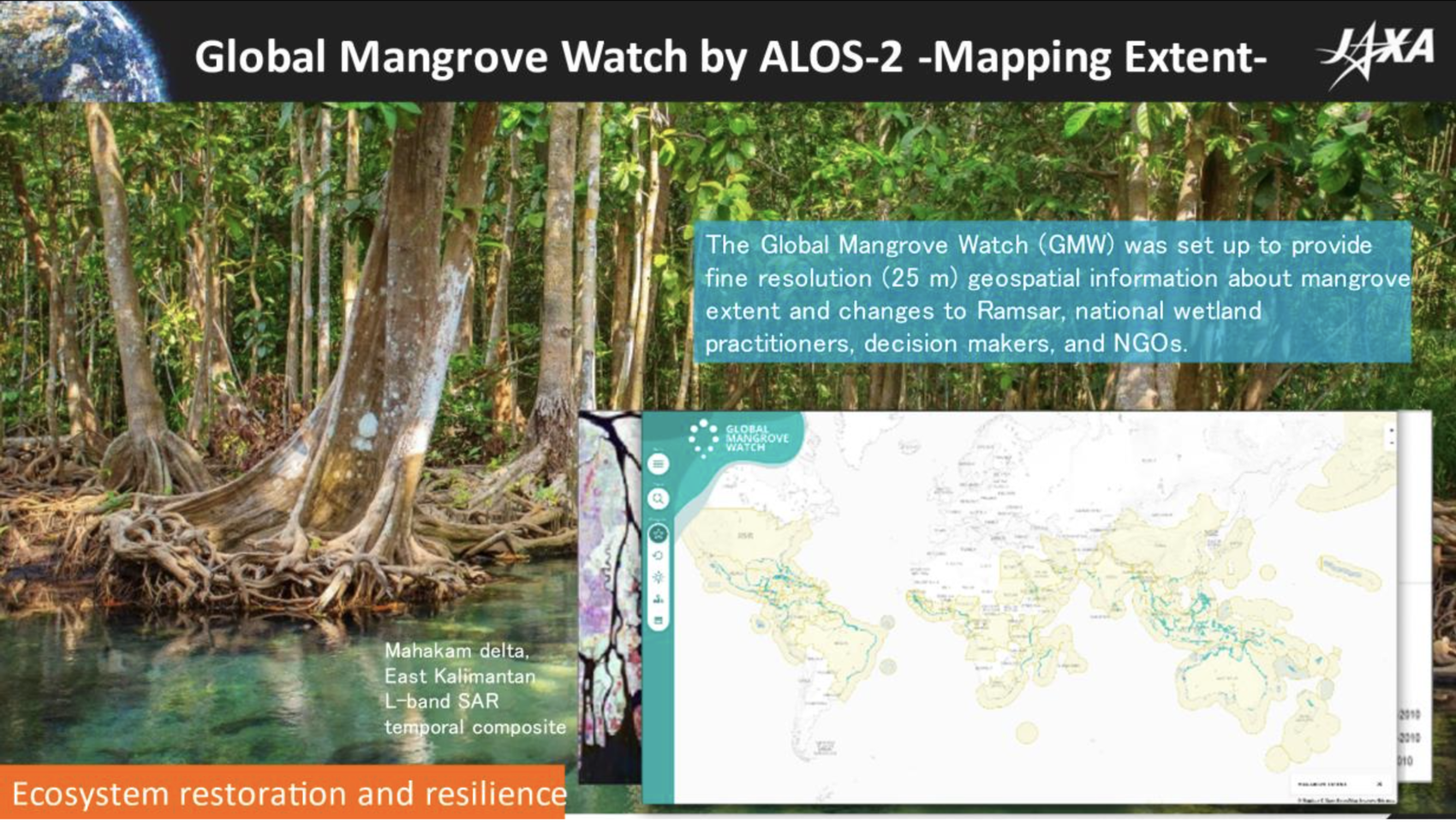
Japan actively participates in several GEO Work Programme activities, with a focus on disaster risk reduction, water and land sustainability, climate and agricultural monitoring, and ocean and marine ecosystem observations.
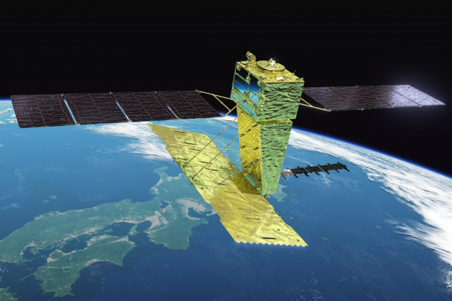
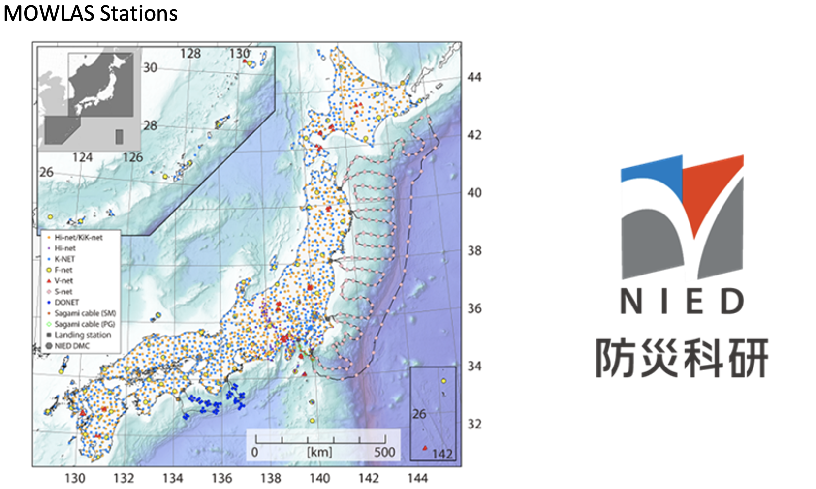
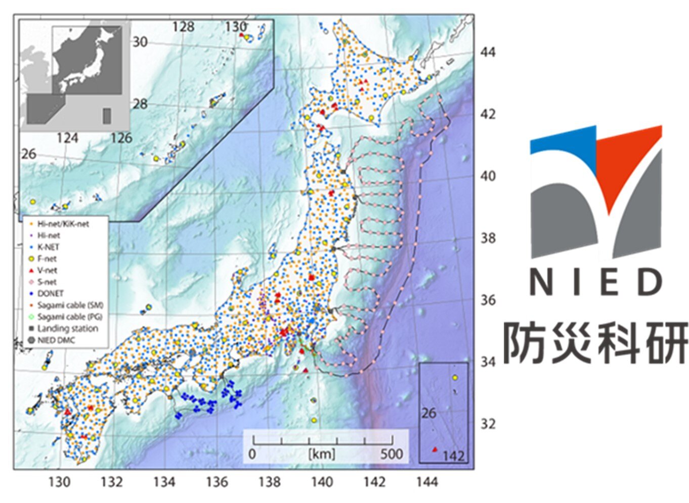
Japan has played a pioneering role in advancing DRR through the Data Integration and Analysis System (DIAS), led by the Japan Agency for Marine-Earth Science and Technology (JAMSTEC) and leading universities such as the University of Tokyo. DIAS a platform that develops a data lake to support the creation of interactive applications for decision-making on cross-cutting issues by integrating domain data with climate change and weather prediction datasets. One such application is the forecasting system for river levels and flood inundation, which has been developed and is operational in Sri Lanka, West Africa, and the Philippines.
Online Synthesis System for Sustainability and Resilience (OSS-SR), on the DIAS, provides a series of e-learning courses to empower local stakeholders in addressing water hazards. For example, in the Philippines, more than 110 professionals received e-training, and they are now equipped to use the data system to issue official water-related early warnings and alerts, conduct risk analyses, and create hazard maps. They are assigned to city districts or communities to lead discussions and implement urban planning and design initiatives. These trained experts serve as “facilitators”, by bridging the gap between the science community and society, and supporting policymaking and public investment decisions through the use of Earth observation data and scientific knowledge from the OSS-SR to accelerate local climate-adaptation actions.
In addition, Japan is actively involved in the following GEO Work Programme activities:
Japan is an active member within the AOGEO regional caucus, serves as a Co-Chair of the AOGEO Coordination Board, and plays a critical role in coordinating regional EO activities. Japan has also organised and supported the organisation of the AOGEO Symposia in Japan and other Asia-Oceania GEO member states since 2007.
Japan is actively engaged in various technical cooperation projects related to Earth observations that extend beyond the GEO Work Programme. These include:
.jpg)
.png)
.jpg)