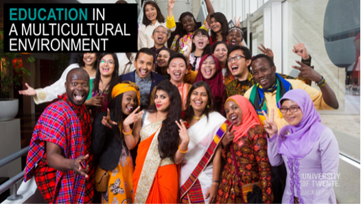
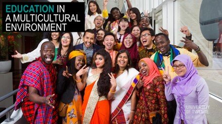
Our vision is of a world in which researchers, educators and students collaborate across disciplinary and geographic divides with governmental and non-governmental organisations, institutes, businesses and local populations to surmount today’s complex global challenges and to contribute to sustainable, fair, digital societies. As such we are shaping individuals (fostering ownership and talent), connections (outside in & inside out), and society (a quest full of challenges). Being part of the global GEO network assures access to worldwide knowledge and provides opportunities for collaboration and co-creation of tools, training/education materials and innovative technologies.
In the context of ITC’s activities in geospatial technologies, remote sensing, planning & governance four profiling themes have been defined.
GeoAI
Combines innovations in geospatial technologies with the rapid growth of methods in AI and big data, with the aim to responsibly translate complex and contextual data in useful information
GeoHealth
Understand the drivers behind spatial patterns in health and disease via a dynamic approach, and develop context-specific response strategies
Resource security
Aims at fair and sustainable use of our natural environment, and security and planning of environmental resources such as food, water, biodiversity, minerals, energy, and land, and their equitable availability for societies
Disaster Resilience
Integrating hazard assessment and disaster risk management into strategic planning and sustainable development
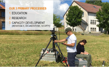
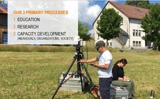
Prof. Dr. M.J. Kraak portfolioholder Capacity Development & Institutional Strengthening