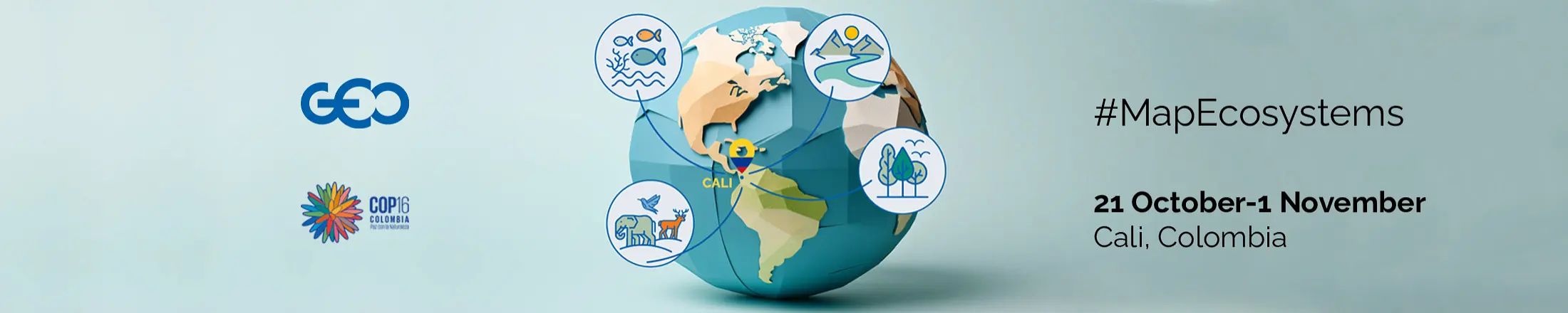
Global Ecosystems Atlas
2024 UN Biodiversity Conference (COP16)
- Home/
- Events/
- 2024 UN Biodiversity Conf... /
- Global Ecosystems Atlas
During the 2024 UN Biodiversity Conference (COP16), GEO will introduce a proof-of-concept for the Global Ecosystems Atlas—the world's first comprehensive, open-access resource for mapping and monitoring ecosystems globally.
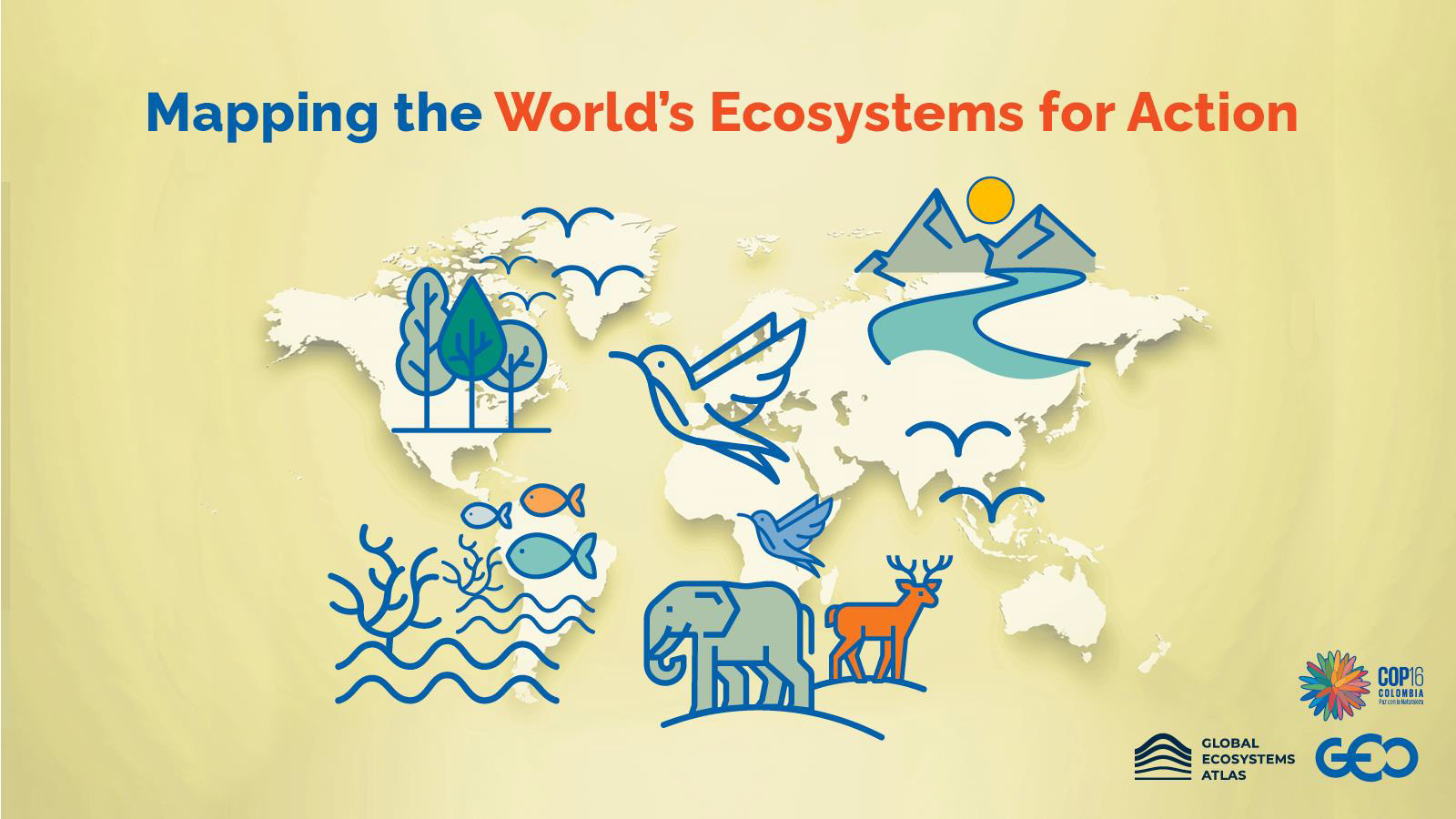
The first atlas of the world’s ecosystems
The Global Ecosystems Atlas is a multi-partner initiative convened by the Group on Earth Observations (GEO). The initiative aims to close knowledge gaps on the state of the world’s ecosystems by delivering an urgently needed global map of all ecosystems on Earth with an intuitive user interface.
The Atlas will be an open, trusted source of data for harmonized and coherent monitoring, reporting and verification of conservation, sustainable management and restoration goals, and natural capital accounting at national, regional and global level and across company value chains and investor portfolios.
The need
An increasing number of public and private global frameworks and standards rely on access to affordable, accurate, and up-to-date harmonized information on ecosystem extent, condition, and risk across various scales. Key among these are the Global Biodiversity Framework (GBF), the UN System for Environmental-Economic Accounting (UN SEEA) – Ecosystem Accounting, the Science Based Targets Network (SBTN), and the Taskforce on Nature-related Financial Disclosures (TNFD). Having set measurable goals with targets and indicators, their implementation requires sustained actionable information on ecosystem extent and condition.
Yet, significant knowledge gaps persist in our understanding of ecosystems: more than 55% of the world’s ecosystem types are in areas where current knowledge about ecosystems distribution or change is lacking. Recent advancements in remote sensing technology, Artificial Intelligence and Machine Learning (AI/ML) techniques present a substantial opportunity to expedite filling these gaps.
It’s time to transform the way we monitor, value and protect nature.
The solution
GEO has convened the world’s leaders in Earth observation, data analysis, ecology and conservation science to accelerate the delivery of a global common reference for the extent and condition of all the world’s ecosystems. The Atlas will be implemented through a combination of global mapping efforts and country-based mapping leveraging partnerships across scales and networks.
The Atlas will integrate high-quality global, regional and national ecosystem maps and align them to the IUCN Global Ecosystem Typology, endorsed by both the UN SEEA and the Convention on Biodiversity as the international standard. Simultaneously, it will accelerate the production of wall-to-wall maps of ecosystems where these do not exist, using latest technologies. Advancements in increasingly higher spectral, spatial, and temporal resolution satellite imagery, along with the increasing sophistication of AI/ML techniques for analysing this data, have opened up new opportunities to better characterize and map ecosystems across a variety of scales.
Country-based mapping will engage national institutions, local experts and stakeholders to encourage a foundation for the maps’ national ownership and ongoing management embedded in national institutions.
How can the Atlas be used?
- Monitoring and reporting on the ecosystem-related headline indicators of the GBF and other multilateral environmental agreements.
- Implementing the UN SEEA Ecosystem Accounting.
- Reporting on corporate disclosure requirements and ESG.
- Viewing global ecosystem extent, forecasting changes and conducting research.
- Supporting Red List of Ecosystem assessments and identification of Key Biodiversity Areas.
- Designing early warning systems, nature-based solutions, and regenerative systems.
- Supporting biodiversity-inclusive integrated spatial planning.
- Planning for expansion of protected areas and OECMs.
- Planning and monitoring of local ecosystem restoration efforts.
Who should use the Atlas?
-
Governments
-
Companies and private financial
-
institutions
-
Development banks and lending
-
Local and indigenous
-
Communities
-
Civil society organisations
-
Schools and Academia
-
Citizens
Funded by
Supported by
In Partnership with