Utilising Earth observations to assess environmental health risks across the Americas

In Chicago, NASA satellite observations are combined with local air sensors to map pollution. Meanwhile in Colombia, satellite data are being integrated with wildfire and air quality records to highlight the urgent need to assess biomass-burning vulnerability with public health impacts from smoke exposure. And across Latin America, researchers are using satellite data to understand what drives rabies to spread from vampire bats to livestock and people.
These were just a few of the projects presented at this year's special edition webinar organised by the GEO Health Community of Practice (CoP) and AmeriGEO – a regional network that connects Earth observation data with the people making decisions on the ground in the Americas.
These projects, highlighted below, emphasise the wide-ranging and unique health challenges across the region, from heat stress and poor air quality to the spread of infectious disease.
The air we breathe
Seven of the projects are focused on air quality, showing how central it has become to health initiatives in the region.
Scaling Data Fusion Tools to Support Local Air Quality Managers in Latin America
Air quality managers in Latin America need forecasts that reflect conditions in their cities. This project is scaling up a data fusion tool that combines satellite data, global models, and local ground measurements to develop high-resolution estimates and near-term forecasts of surface-level nitrogen dioxide, particulate matter and ozone.
Presented by Carl Malings, NASA Goddard Space Flight Center and Morgan State University, USA
Health Impacts of Sub-daily Air Pollution Mixtures in Mexico City
This project looks at how mixtures of pollutants over periods shorter than a day affect communities across Mexico City. It brings together data from NASA's Tropospheric Emissions: Monitoring of Pollution (TEMPO) geostationary satellite mission with environmental epidemiology and public health modelling.
Presented by Aaron Naeger, NASA Marshall Space Flight Center, USA
Integrating TEMPO Geostationary Satellite Observations, Open Air Chicago Ground Monitors, and Interactive GIS Dashboards to Characterize Urban NO₂ Patterns in Chicago (September 2025-June 2026)
This project combines TEMPO satellite observations with data from Open Air Chicago's network of more than 270 Clarity sensors and U.S. Environmental Protection Agency monitors. The team built an interactive dashboard that maps nitrogen dioxide trends across the city, showing how these tools can support better public health decisions.
Presented by Kathryn Phung, NASA Langley EarthRISE Developers Academy 2026, USA
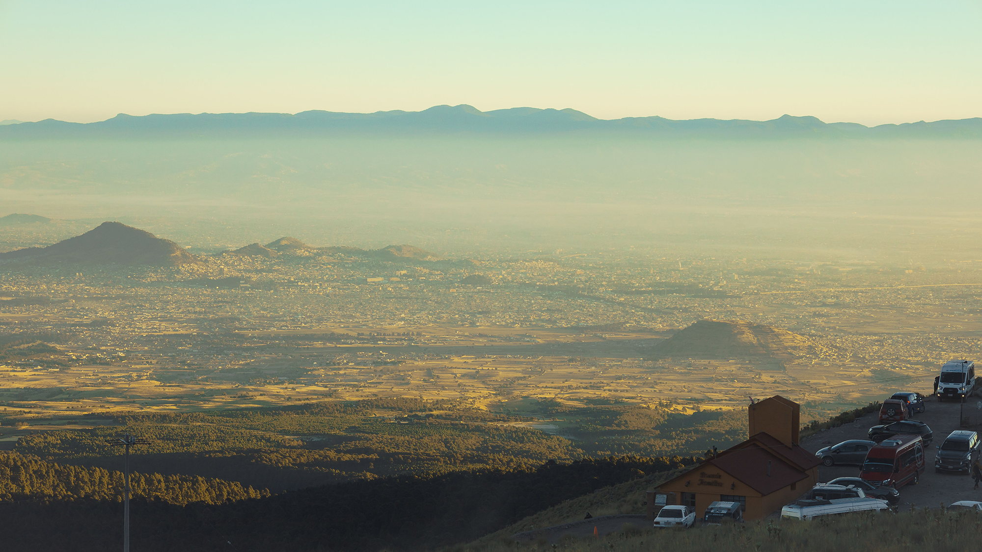
Validating Satellite PM2.5 and Black Carbon Products for Health Risk Assessments in Central Mexico
In Mexico's Toluca Valley, burning crops and vegetation releases fine particles (PM2.5) and black carbon. Using high-resolution remote sensing to track those pollutants and validate satellite products, this research found evidence linking higher concentrations to increased risk of acute asthma exacerbation and cerebrovascular events.
Presented by Angelica Neria-Hernández, Universidad Autónoma del Estado de México, Mexico
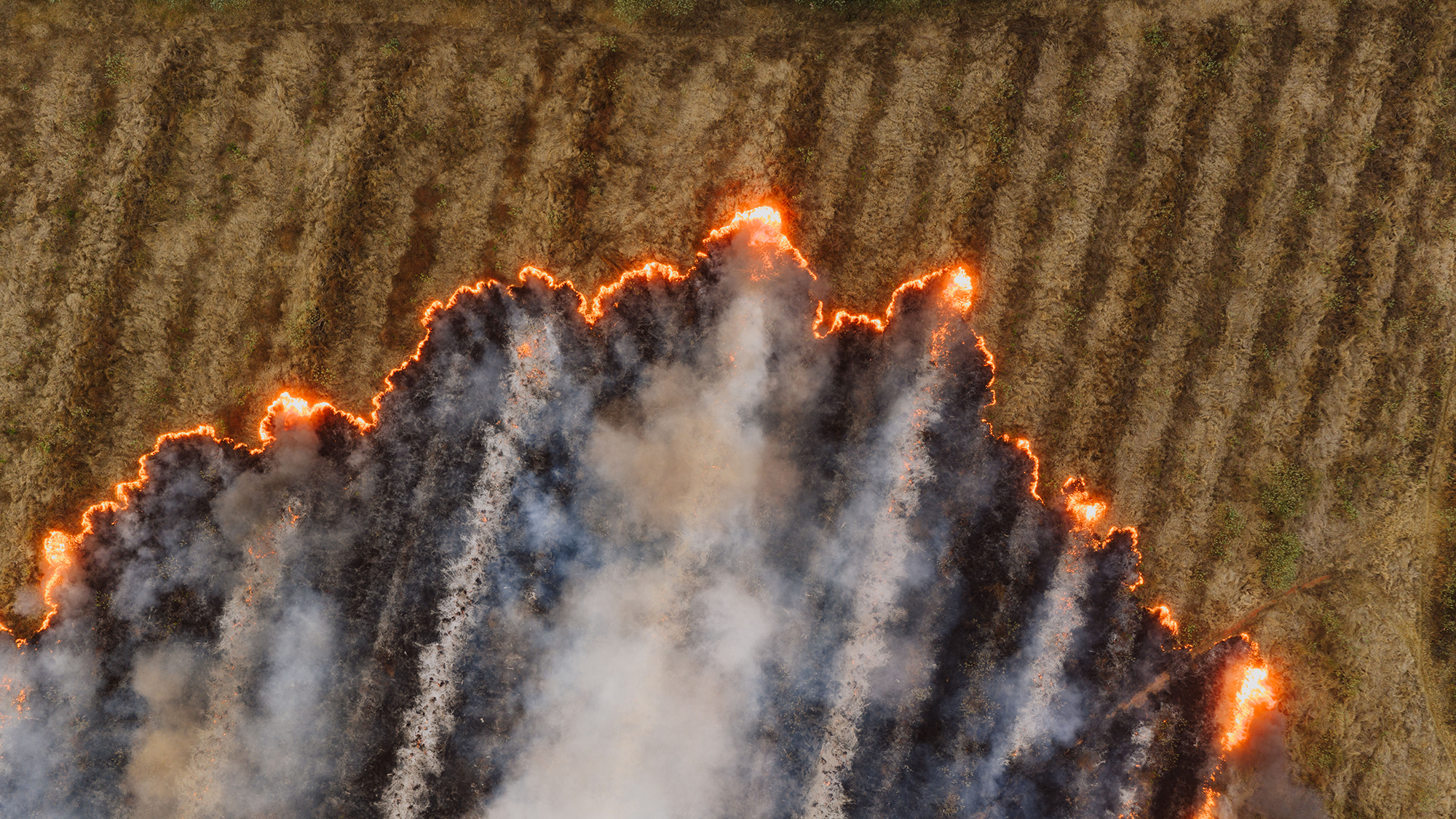
Territory Vulnerability to Biomass Burning in Bogotá, Colombia
In Ciudad Bolívar, Bogota, this study combined satellite data with wildfire and air quality records, finding that vulnerability to biomass burning and the health impacts of smoke need to be assessed together.
Presented by Natalia Caita Sotaquirá, Universidad Distrital Francisco José de Caldas, Colombia
Satellite-derived Air Quality Data Can Effectively Support Health Needs when Use Cases, Earth Observing Capabilities, and Capacities Align
The Air Quality Work Group looked at case studies from the Americas to understand when satellite data can best support air quality and respiratory health decision-making globally. Recommendations include focusing on closing the gap between what satellites can do and what decisionmakers need.
Presented by Nathan Pavlovic, Spheros Environmental, USA
NASA's PACE Mission: Opportunities for Extending and Advancing Air Quality Support
NASA's Plankton, Aerosol, Cloud, ocean Ecosystem (PACE) mission uses hyperspectral and polarimetric instruments to monitor aerosols, trace gases and other properties, opening new ways to support air quality and health research.
Presented by Morgaine McKibben, NASA Goddard Space Flight Center and Science Systems and Applications, Inc, USA
Stopping disease before it spreads
ArboMAP: Implementing Arbovirus Forecasts to Support Public Health Action
ArboMAP helps public health agencies get ahead of West Nile virus by combining machine learning with environmental monitoring and disease surveillance to predict risk of disease transmission and generate ready-to-use seasonal forecasts agencies can act on.
Presented by Michael Wimberly, University of Oklahoma, USA
Ecological Niche Modeling and One Health: Using Earth Observations to Identify Drivers of Zoonotic Spillover
When diseases jump from animals to humans, the environment can play a major role. This case study incorporates ecological niche modelling and remote sensing data to identify the drivers of vampire bat-borne rabies spillover to livestock and humans in Latin America.
Presented by Paige Van de Vuurst, George Washington University, USA

Preparing for extreme heat
NWS-CDC HeatRisk: A Next-Generation Framework for Actionable Heat-Health Information
HeatRisk, developed by the NOAA National Weather Service and the U.S. Centers for Disease Control and Prevention, combines temperature, humidity, and duration into a seven-day, colour-coded index. It guides official heat alerts and helps public health agencies plan their responses.
Presented by Paul Iñiguez, NOAA/NWS/NCEP/WPC/Lynker, USA
Building skills and understanding change
EOTEC DevNet: Five Years of Connecting New and Existing Users to Earth Observation Training and Professional Development Opportunities
The Earth Observation Training, Education and Capacity Development Network (EOTEC DevNet) offers capacity-building tools and collaborative resources to help professionals across the Americas incorporate satellite data into their public health decision-making activities.
Presented by Yakov Moz, NASA Headquarters/Booz Allen Hamilton, USA
Environmental Change along Northern Virginia's Critical Infrastructure Corridor
A high-school student, working through a NASA internship, used remote sensing and ground data to compare vegetation and land cover around data centres and airport infrastructure in Chantilly, Virginia. The study identified patterns of urban change that can inform ways to protect community environmental health.
Presented by Saisha Doma, Thomas Jefferson High School for Science and Technology, USA (NASA SEES 2026 Internship)
Join us in Guatemala City
The conversation continues at AmeriGEO Week 2026, from 30 November to 4 December at the Universidad del Valle de Guatemala in Guatemala City, and online.
There, the GEO Health CoP will support a One Health session and side event focused on strengthening partnerships, sharing environmental health case studies, and building skills for the global health workforce.