From orbit to human health: when satellite air quality data can make a difference
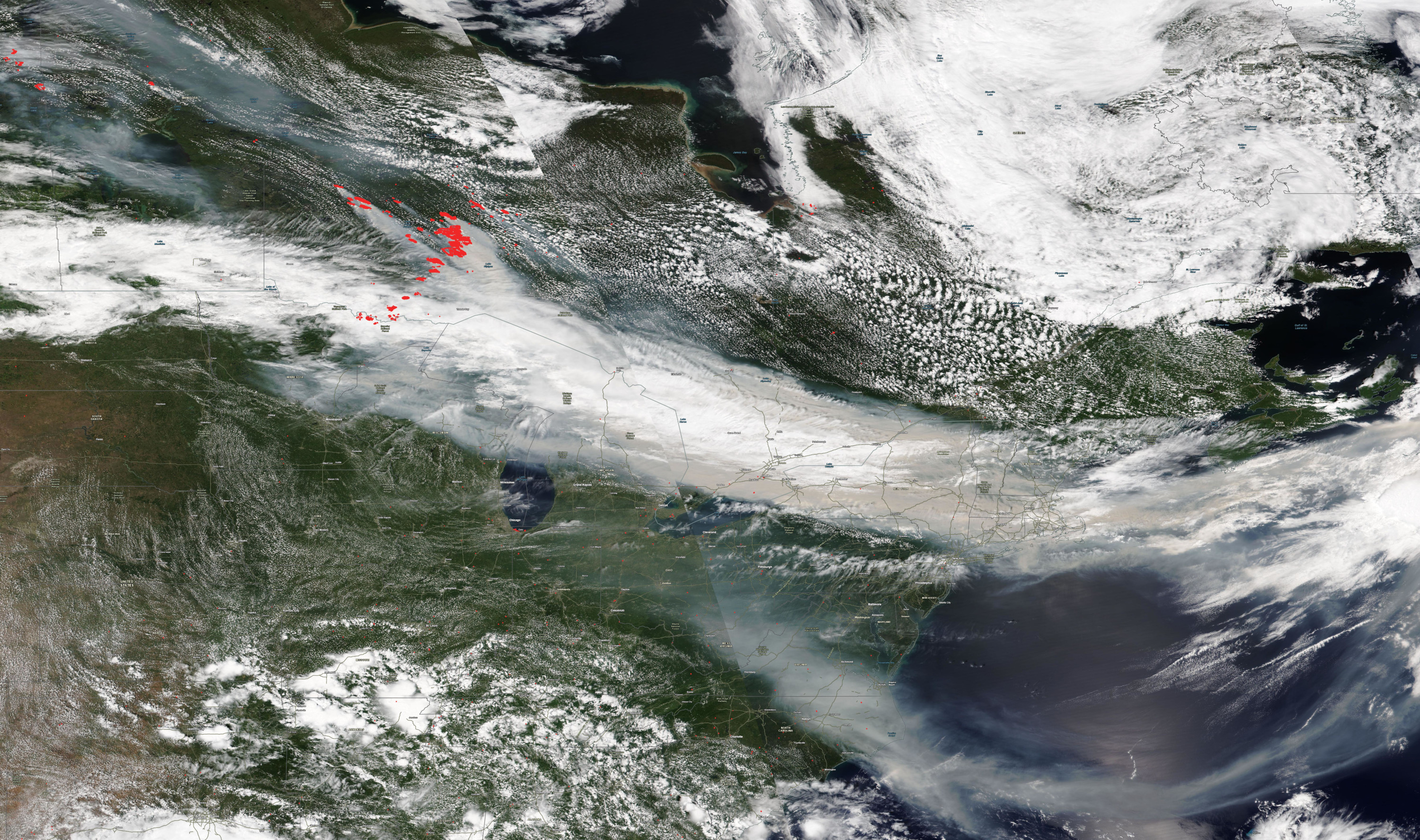
When wildfire smoke darkens skies, dust storms sweep across borders, or traffic pollution builds over a city, communities need timely information about where pollution is elevated, how it is moving, and who may be exposed. We experienced the need for clear information first hand in the summer of 2026, when wildfire smoke blanketed much of the Midwest and East Coast of the United States and our communities were scrambling to access data and information to protect their families’ health. But many communities, especially those with few ground-based air monitors, do not have enough local data to guide health warnings, policy decisions, or exposure assessments. In our roles as co-leads of the GEO Health Community of Practice Air Quality Work Group for the last 3 years, we’ve had the privilege to hear inspiring examples from around the world of how satellite data are being used to fill in these gaps in local information. To bring these insights to a wider audience, we brought together with 21 of our work group members to author a review paper that we recently published in the Journal of the Air and Waste Management Association. We sought to answer the question: when can these satellite-derived data meaningfully support decisions that protect health?
Three ingredients for success
Drawing on global examples and case studies from our members’ collective experience, we identified a central lesson: satellite data are most useful when three conditions are met. First, satellite EO capacity: the satellite must measure the right geophysical variables at the right spatial and temporal scale to answer the question. Second, a defined use case: there must be a clear public health or air quality decision to be made based on the data the satellites provide. Third, feasibility: organizations need the people, computing resources, funding, and governance structures to turn information into action. Drawing from 34 use cases, the framework we established provides guidelines and a set of critical questions that should be answered when considering the use of satellite data to meet health needs related to air pollution.
Our paper shows how this alignment can work in practice. In one case study, which we both have been involved with for the last four years, the city of Rio de Janeiro is using satellite-informed forecasts to help extend air quality early-warnings beyond the locations of their few existing monitors, including finer-scale PM₂.₅ forecasts and broader-scale NO₂ and O₃ forecasts for areas without in-situ measurements. In Southeast Asia, one of our co-authors helped to develop a haze-tracking system combining satellite data, models, and machine learning to provide 5 km near-real-time PM₂.₅ assessments and three-day forecasts for northern Thailand, Laos, and Myanmar during seasonal biomass-burning haze. In Nebraska, hourly satellite-derived PM₂.₅ estimates offered another of our co-authors, a public health researcher, a way to assess exposure risks for outdoor workers in areas where fixed monitors are limited, although she also found that the coarse spatial resolution of the selected dataset made it difficult to link exposure estimates to specific workplace locations. Each case illustrates the same point: satellites add value when they are connected to a clear use case, designed around satellite capabilities, and implemented with feasibility in mind.
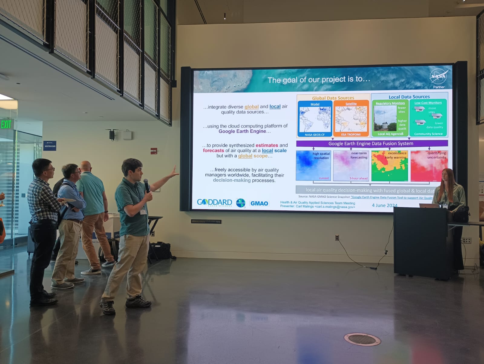
Our work also identified practical challenges and barriers to satellite applications to health challenges. Coverage remains uneven, especially for some regions of the Global South. Some pollutants are difficult to observe from space, and translating satellite measurements into surface-level exposure still requires validation. Limited ground data, high computing demands, uncertain long-term funding, shortages of trained staff, and unclear governance pathways can all prevent promising pilot systems from becoming sustained public health tools.
What still needs to be done
Satellite air quality data can help identify gaps, extend coverage, support forecasts, and address health needs, but only when health needs and satellite capabilities align within a practical application framework. Future progress globally depends on strengthening ground monitoring, clearer documentation and uncertainty quantification, expanded multilingual training, sustained funding, filling gaps in existing satellite data and capabilities, and tools designed around specific decisions. Our hope is that this paper provides practical guidance to practitioners to drive use of satellite data to improve health around the world.
For our part, we are excited to explore new ways of making satellite-derived air quality data relevant to different communities together with the GEO Health Air Quality work group. For example, some of our group members are considering how AI/ML technologies can facilitate access to and interpretation of these data, while others are applying well-established public health frameworks to assess the real-world impacts these satellite data applications are having. If this sounds interesting to you, we welcome you to reach out and join us!
------
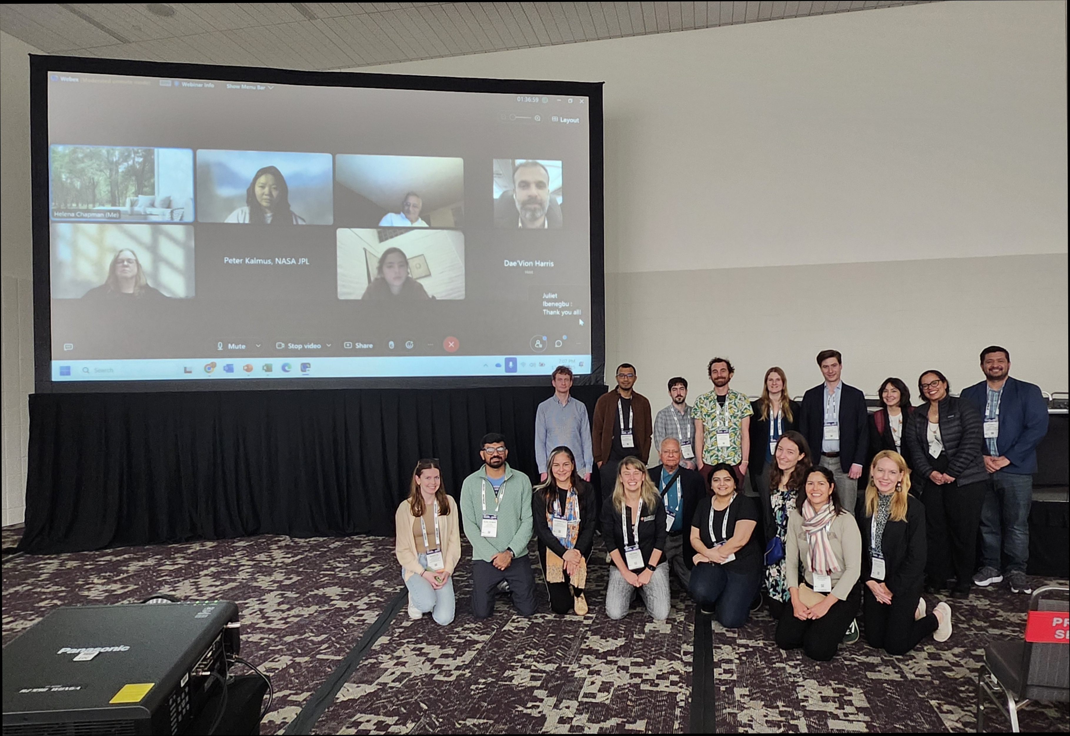
Learn more about how you can become involved, contribute your expertise, and expand your professional networks in the GEO Health CoP.