Download the GEO In-situ Data Strategy
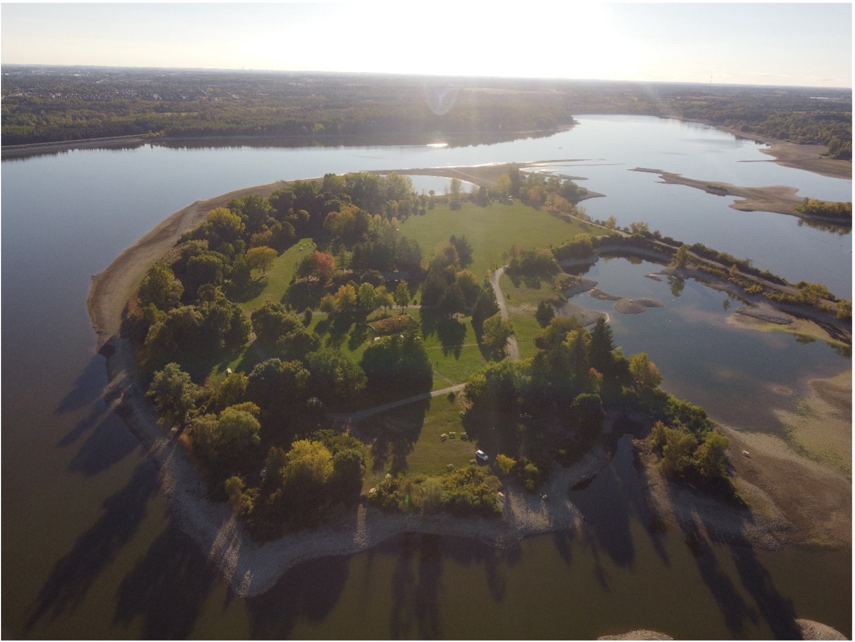
To understand how the planet is changing, we need to observe and measure it. Earth observation combines satellite data with direct in-situ measurements collected through monitoring stations, ocean buoys, field surveys and sensors.
Together, these observations provide detailed local evidence and support more reliable environmental decisions.
But in-situ data it is not always easy to find, access and (re)use. As observations are collected across different disciplines, networks and organisations, the data landscape is highly diverse and, in some areas, fragmented.
Differences in data policies, standards, vocabularies and access protocols can create barriers to sharing and reuse. In addition, without adequate data stewardship, archiving and sustained support for observing systems, long-term data availability can become an issue.
The GEO In-situ Data Strategy, now available for download, sets out the challenges facing the in-situ data landscape, which is an important step towards making better use of the wealth of observations collected around the world.