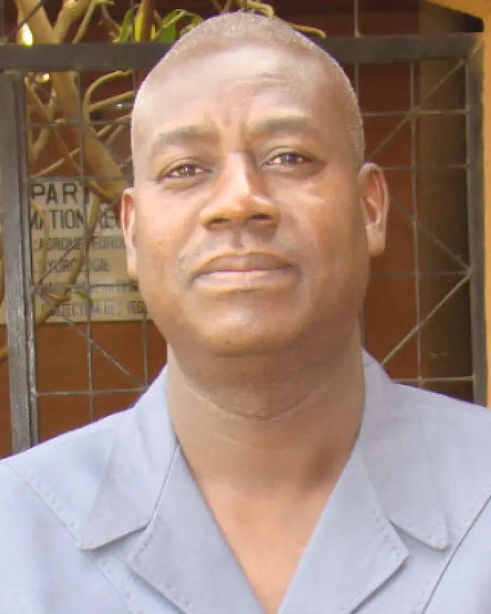
Bako Mamane
- Home/
- Profiles/
- Bako Mamane
Mr BAKO Mamane has extensive experience in the fields of Water Resources Management and Mobilization, Geographic Information Systems and Remote Sensing. Since 2012, he has been an expert in GIS and Remote Sensing at the AGRHYMET Regional Center. Currently, he is the Focal Point of Digital Earth Africa initiative and also involved with the SERVIR West Africa program, where he has successively held the positions of User Engagement Co-Lead, Science and Data Co-Lead and since March 2020 the Co-Chief of Party. He worked with the United Nations Development Programme in Niger as National Databases and GIS expert with several support missions in Chad, Central African Republic and Guinea Bissau. He attended several international conferences and summits where he made presentations.
Participation in GEO Events
GEO Week 2022
Accra, Ghana