Anderson Muchaona
- Home/
- Profiles/
- Anderson Muchaona
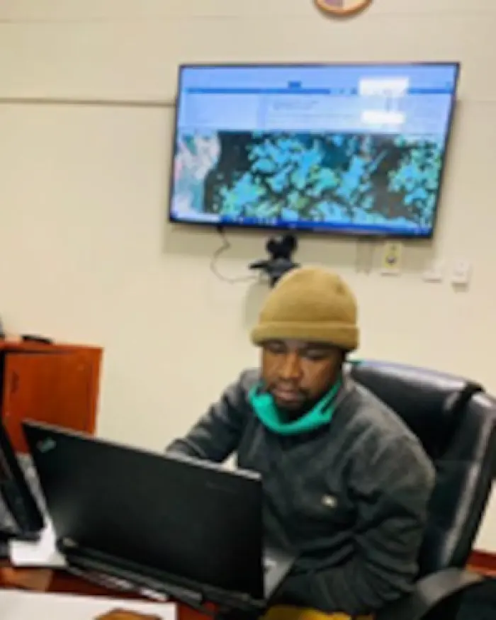
Anderson Muchawona is a Forest Mapping & Inventory Officer at Forestry Commission in Zimbabwe. He has specialized in Geographic Information System (GIS) mapping at the Forest research Centre of the commission. He has been instrumental in the production of 2017 national land cover map and currently he is leading a team working on 2020 land cover map. He is an expert in use of Google Earth Engine. He is also an expert in Green House Gas Inventory and he participated in the compilation of Fourth Communication and Biennial update report for Zimbabwe. Anderson has been working on scanning and Geo referencing of Thematic and Topographic maps as well as satellite imagery; Visual satellite image interpretation using Landsat TM imagery (4, 5, 3 Band combination) for the purpose of vegetation change mapping; On-screen digitizing using Surveyor General thematic and topographic maps; Generating attribute data tables and inputting the attribute data.
Inventory of Indigenous Forest Resources; and On-the-ground assessment of indigenous forests for the purposes of validating maps generated using GIS. Anderson received a Master of Science in Natural resources management & environmental sustainability at Bindura University of Science Education (BUSE).
Participation in working groups