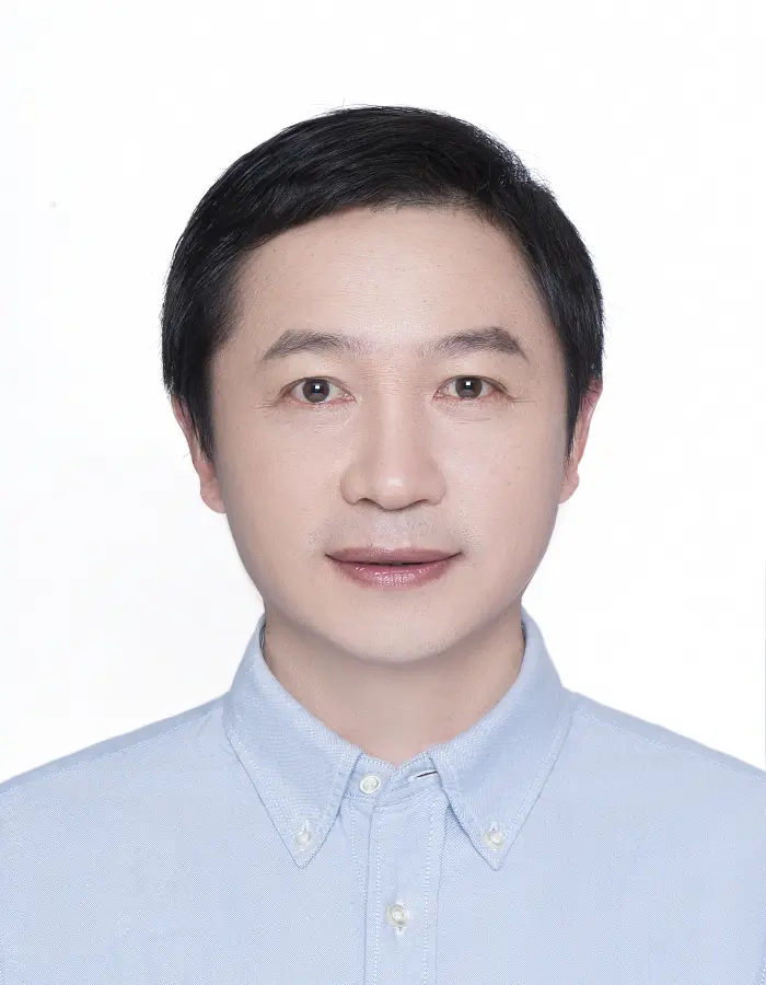
Wenjiang Huang
- Home/
- Profiles/
- Wenjiang Huang
Dr.& Professor, Ph.D. in Physical Geography. He was director of SINO-UK Crop Pest and Disease Forecasting &Management Joint Laboratory, working in Aerospace Information Research Institute , Chinese Academy of Sciences(AIR-CAS), he was acting as PI for more than 50 major scientific fundings from Grope on Earth Observations (GEO), Ministry of Science and Technology(MOST), National Science Foundation of China(NSFC), Ministry of Agriculture and Rural Affairs (MARA)and Chinese Academy of Sciences (CAS). His research interests cover quantitative and remote sensing for vegetation, crop, grass and forest pest& disease monitoring, data fusion (multi-scale, multi-sensor, multi-temporal) for global change. He has published more than 250 SCI journal papers focused on remote sensing for vegetation biophysical and biochemical variables inversion and pest and disease monitoring by remote sensing, with google H-index 64. He has awarded more than 12 science and technology award including National Science and Technology Progress Award and so on. For more details please visit the website (http://www.rscrop.com, or https://www.researchgate.net/profile/Wenjiang-Huang).
Vegetation (crop, grass, forest) pest and disease monitoring and forecasting by remote sensing and geographic information system at global, national and regional scales • Mechanism and modeling of crop/grass/forest pest and disease monitoring&forecasting by remote sensing; • Habitats monitoring of Migratory Locust, Desert Locust, Fall army worm, Rust, Planthopper/Blast and so on ; • Global pest and disease monitoring and forecasting system and application by FAO, GBIF and GEO.
Vegetation parameters inversion and growth monitoring at global, national and regional scales •Integrated with multi-source earth observation data, meteorological data, field data, and self-developed models and algorithms for vegetation monitoring; • Crop distribution, crop growth and biophysical and biochemical parameters inversion; • Precision agriculture, Land use mapping, land use change, land degradation.
Remote Sensing Image Analysis and Application • Multi-platform remote sensing analysis in biogeography; • Environmental modeling; • Land use/cover change detection.
Participation in GEO Events
GEO Symposium and ODOK Workshop 2024
Hangzhou, China