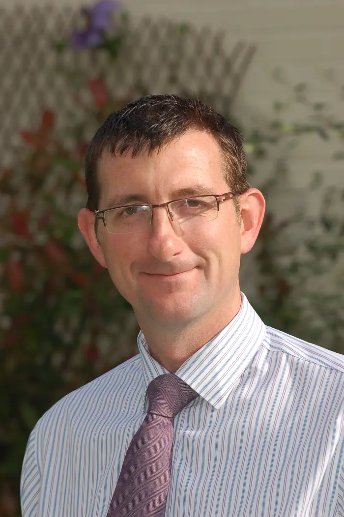
Andrew Murdock
- Home/
- Profiles/
- Andrew Murdock
Andy has a background in environmental remote sensing and geospatial and has over 25 years of consultancy experience, including the development of EO based products and services based on Sentinel 2 imagery. He has worked with the UK National Mapping Authority, Ordnance Survey on the development of machine learning tools to detect changes in agricultural land and elsewhere on the use of AI tools for urban change detection. He has worked with a number of NGOs and UN agencies providing technical capacity building and strategic advisory services. Andy was part of the team that designed and delivered the PRAIS4 platform for UNCCD, which is helping countries analyse and report their progress towards SDG 15.3.1. Land Degradation Neutrality (LDN). Until recently, Andy was Chair of the Royal Geographical Society’s Assessor’s Committee for the Chartered Geographer scheme, an international accreditation for geographical professionals. Andy joined the GEO Secretariat earlier this year and is leading the development of the Post 2025 Strategic Implementation Plan.
Participation in GEO Events
GEO Symposium and ODOK Workshop 2024
Hangzhou, China