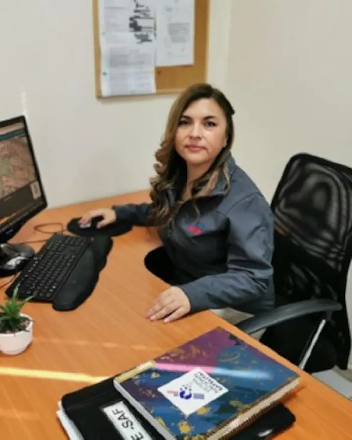
Joselyn Robledo Ceballos
- Home/
- Profiles/
- Joselyn Robledo Ceballos
Joselyn Alejandra Robledo Ceballos is Engineer in the Aerial photogrammetric Service of the Chilean Air Force in charge of the Management System, quality control and interoperability of Geographic Information, based on the application of international regulations such as ISO TC / 211. Currently, she is in charge of the SAF Corporate Spatial Data Infrastructure (SDE) and the innovation area, which includes aspects such as geographic information management, data quality, product traceability, optimization of production lines, management of metadata and research work in various areas. Likewise, She has specialized in the generation of web map services (for natural risk management, military intelligence, emergency management and dashboard with multiple applications for territorial management) interoperable with OGC regulations, geostatistical analysis, remote sensing and automation of processes with programming languages ââlike R and Python.
Currently, Joselyn is an active member of the technical group in charge of the design and implementation of the SNSAT (National Satellite System) project, mainly in everything related to satellite images, interoperability, standardization, cataloging and Geoportal, with future perspectives of being in charge of the area of innovation of said project and work at the National Space Center.
She is a representative of Chile in the group of standards and IDE of the ICA (International Cartographic Association), participation and international representation of Chile of the national committee of standards ISO TC / 211 of the INN (National Institute of Standardization). She is also a member of GEO DRR Working Group, supporting subgroup 2.
Participation in working groups

