
Netherlands
- Home/
- Partners/
- Member Governments/
- Netherlands

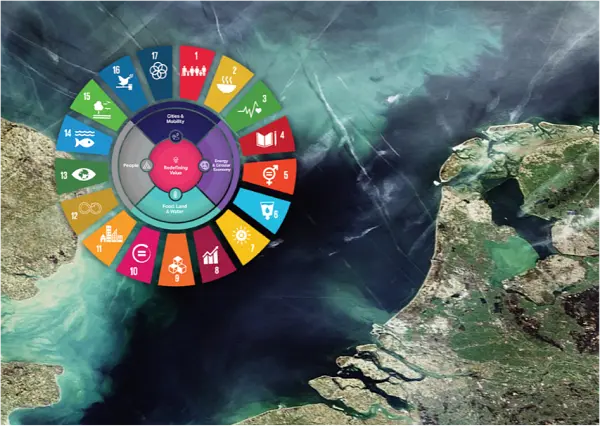
Space applications for society, science and economy The Netherlands actively stimulates the development and use of services based on satellite data, to bring the benefits of space to society, science and economy.
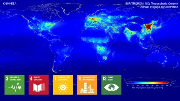
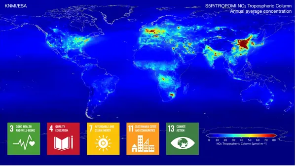
The air we breathe The TROPOMI satellite instrument provides timely images of air quality and climate parameters for every place of the Earth. Already five years, with TROPOMI we can see which policy measures are effective for improving the air quality.
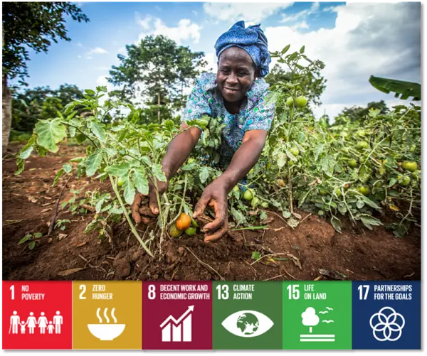
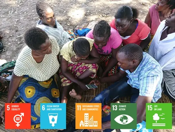
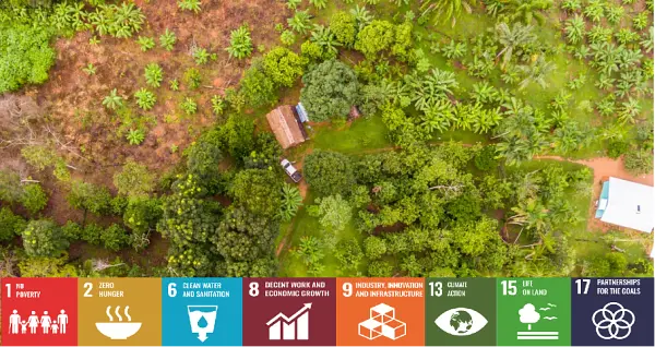
Towards a better food security End 2021, over 4 million smallholder farmers in Africa and Asia have benefitted from products and services based on open and free satellite data in the Geodata for Agriculture and Water (G4AW) programme. The G4AW programme aims to reach 4.5 million food producers by summer 2023. Geodata-based services assist farmers and pastoralists in increasing their productivity and adapting to climate change.
Towards a better food security End 2021, over 4 million smallholder farmers in Africa and Asia have benefitted from products and services based on open and free satellite data in the Geodata for Agriculture and Water (G4AW) programme. The G4AW programme aims to reach 4.5 million food producers by summer 2023. Geodata-based services assist farmers and pastoralists in increasing their productivity and adapting to climate change.
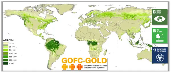
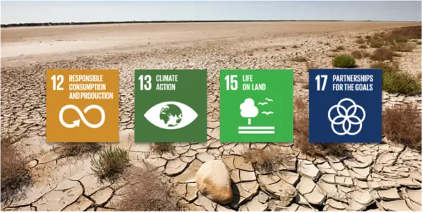
The time for climate action is now. We can turn the tide if we take fast, decisive action. The world needs to adapt to what is coming and do everything possible to immediately reduce emissions. Availability and accessibility of reliable data is crucial in this endeavor. Earth observation plays an important role. It increases our understanding of the consequences of climate change, and can thereby be a powerful tool for policymakers across the world.
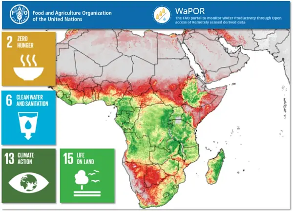
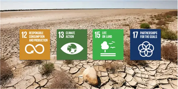
More effective use of water in agriculture on a global scale An increasing number of countries does not have enough water to grow food for their growing population. More crop per drop is needed. This is why we support the FAO WaPOR project that has the aim to improve land and water productivity in the face of climate change. In 2022 the decision is made to make the WaPOR data available at a global scale.
Netherlands Space Solutions for Climate Adaption and Mitigation Dutch companies and institutions develop new innovative solutions using satellite data that contribute to the provision of information to facilitate climate adaptation and mitigation.
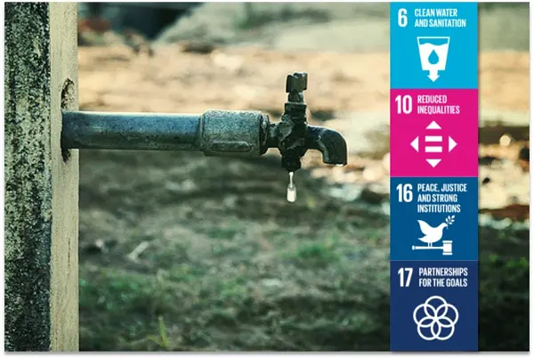
Space solutions contribute to peace and security The Dutch initiated the Water, Peace and Security initiative - a broad coalition of international partners coordinated by IHE Delft Institute for Water Education - designed innovative tools and services identifying water-related security risks to help mobilize stakeholders, build capacity and facilitate action. Understand - mobilize - learn - facilitate - act!
Objective information from satellite in support of sustainable sourcing landscapes Geodata are used by the Verified Sourcing Areas (VSA) of the Sustainable Trade Initiative (IDH) and partners to verify outcomes at landscape level, such as deforestation rates, included in Produce, Protect, Include compacts. Doing this, spatial data are used by local stakeholders, including government and private sector, driving sustainable production and international partners, like retailers and brands, for sustainable sourcing.
Tackle global CO2 while enhancing farmers’ businesses using satellite data Rabobank launches an agroforestry initiative aimed at sequestering CO2 while enhancing smallholder farmer practices in developing countries. This online platform connects large corporates looking to offset their unavoidable emissions with smallholder farmers who are sequestering carbon through agroforestry. The initiative also helps farmers improve their business model by transforming monoculture farming into future-proof agriculture.

Space for global development: education and capacity building We are here to identify and understand vulnerability – and to convert it into resilience by developing, applying and sharing geospatial impact-driven solutions We educate our students to be professionals, capable of acquiring knowledge and translating this into practical applications for solving real-world problems.
The role of Citizen Science Our Action Research on Citizen Science helps GEO achieve impact related to sustainable development, elevating the value of citizen science communities and data from local to global scales.
The Netherlands actively stimulates the development and use of services based on satellite data, to bring the benefits of space to society, science and economy.
The TROPOMI satellite instrument provides timely images of air quality and climate parameters for every place of the Earth. Already six years, with TROPOMI we can see which policy measures are effective for improving the air quality. TROPOMI has also been very successful in tracing methane emissions from oil and gas industry, urban hotspots (garbage dumps) and landfills.
Over 4.5 million smallholder farmers in Africa and Asia have benefitted from products and services based on open and free satellite data in the Geodata for Agriculture and Water (G4AW) programme. Geodata-based services assist farmers and pastoralists in increasing their productivity and adapting to climate change. The successes, challenges and lessons learned of the 25 initiatives of G4AW are shared on the G4AW website. G4AW services are also introduced in new countries.

We can turn the tide if we take fast, decisive action. The world needs to adapt to what is coming and do everything possible to immediately reduce emissions. Availability and accessibility of reliable data is crucial in this endeavor. Earth observation plays an important role. It increases our understanding of the consequences of climate change, and can thereby be a powerful tool for policymakers across the world.
An increasing number of countries does not have enough water to grow food for their growing population. More crop per drop is needed. This is why the Netherlands supports the FAO WaPOR project that has the aim to improve land and water productivity in the face of climate change. Since October 6 2023 FAO WaPOR data are available at a global scale.

Dutch companies and institutions develop new innovative solutions using satellite data that contribute to the provision of information to facilitate climate adaptation and mitigation.
The Dutch initiated the Water, Peace and Security initiative - a broad coalition of international partners coordinated by IHE Delft Institute for Water Education - designed innovative tools and services identifying water-related security risks to help mobilize stakeholders, build capacity and facilitate action. Understand - mobilize - learn - facilitate - act!
The Dutch initiated the Water, Peace and Security initiative - a broad coalition of international partners coordinated by IHE Delft Institute for Water Education - designed innovative tools and services identifying water-related security risks to help mobilize stakeholders, build capacity and facilitate action. Understand - mobilize - learn - facilitate - act!

Geodata are used by the Verified Sourcing Areas (VSA) of the Sustainable Trade Initiative (IDH) and partners to verify outcomes at landscape level, such as deforestation rates, included in Produce, Protect, Include compacts. Doing this, spatial data are used by local stakeholders, including government and private sector, driving sustainable production and international partners, like retailers and brands, for sustainable sourcing.
Rabobank launched an agroforestry initiative aimed at sequestering CO2 while enhancing smallholder farmer practices in developing countries. This online platform connects large corporates looking to offset their unavoidable emissions with smallholder farmers who are sequestering carbon through agroforestry. The initiative also helps farmers improve their business model by transforming monoculture farming into future-proof agriculture.
We are here to identify and understand vulnerability – and to convert it into resilience by developing, applying and sharing geospatial impact-driven solutions We educate our students to be professionals, capable of acquiring knowledge and translating this into practical applications for solving real-world problems.
We are here to identify and understand vulnerability – and to convert it into resilience by developing, applying and sharing geospatial impact-driven solutions We educate our students to be professionals, capable of acquiring knowledge and translating this into practical applications for solving real-world problems.

Our Action Research on Citizen Science helps GEO achieve impact related to sustainable development, elevating the value of citizen science communities and data from local to global scales.

