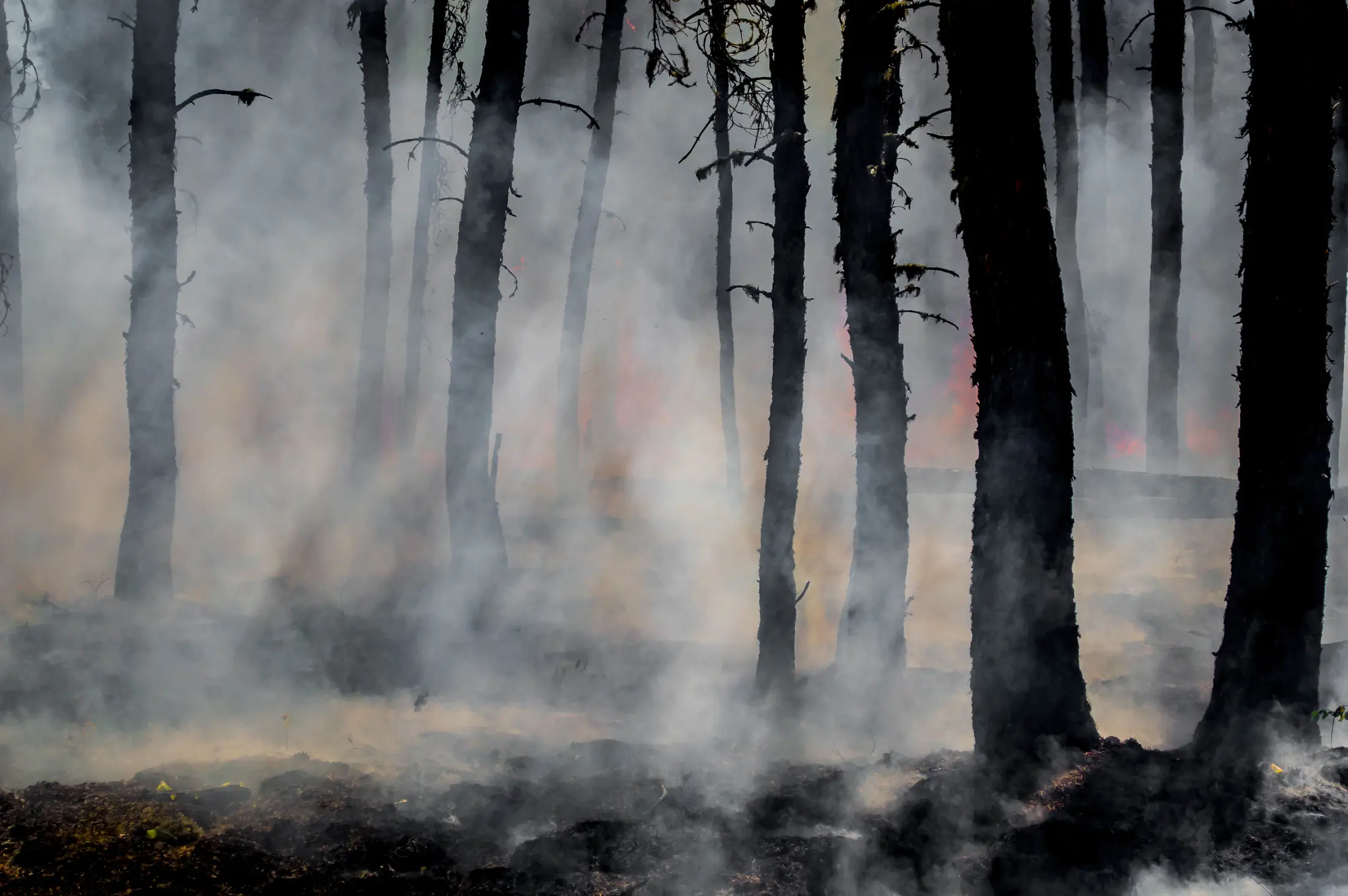
Global Wildfire Information System

Global Wildfire Information System

The Challenge

Despite the increasing frequency and severity of wildfires, there is a stark lack of comprehensive and accurate wildfire information at the global level. Efforts to collect information at national level to regional levels have shown that this endeavor is very difficult. Additionally, different countries have different definitions of forests and wildfires, making it even more difficult to gather global information by aggregating ground-collected information.

The Solution

The Global Wildfire Information System (GWIS) is the only system in the world that provides near-real time and historical information and data on wildfires at the country and sub-country levels for all countries. GWIS offers fire danger forecasts up to 10 days ahead of a given date. The system provides the near-trends of active fires, burnt areas, wildfire emissions, and thermal anomalies. It also provides data on how a fire impacted land cover and protected areas.

GWIS provides the following services:

  • Fire danger forecast: The GWIS fire danger forecast module provides forecast maps from 1 to 9 days of fire danger levels.
  • Thermal anomalies.
  • Country profiles: Country profiles include information about the cropland area, the forest area, and the grass/shrubland area.
  • Monthly and seasonal temperature and precipitation anomalies.
  • Weekly reports on wildfire activity: These reports describe wildfire trends in a region throughout a specific period as compared with the fire activity in the region in previous fire seasons.
  • Near-real-time statistical trends on wildfires: Statistics are provided at the national level and for regions of interest.
  • Currently, GWIS runs using the data from:
  • Copernicus Atmosphere Monitoring Service & Global Fire Assimilation System (ECMWF)
  • TERRA & ACQUA (NASA)
  • VIIRS (NASA/NOAA/SNPP)

Latest Developments

8th International Wildland Fire Conference, May 2023, Portugal

This conference promotes the exchange of expertise and international cooperation in wildland fire management.

Our Impact

GWIS recently support to Argentina by the Emergency Response Coordinating Centre of the European Civil Protection and Humanitarian Aid Operations service, supported by the map of the situation in Argentina in February 2022. Using GWIS, the Arctic Council produced evidence of the increased number of fires and burnt areas in the previous years. GWIS partnered with the EU and Amazon countries on wildfire management planning for 2022-2027. The Australian government used GWIS maps to assess the wildfires during the 2019-2020 bushfire season. During the summer of 2019-2020, severe bushfires devastated various regions in Australia, causing widespread harm to people, animals, and the economy. GWIS issued two maps that provided daily updates of active bushfires and burnt areas. The first map helped assess resource capacity in Australia as well as the type and amount of resources the EU could provide in managing the fires. The second map provided a synoptic overview of the final state and impact of the fires.

Policy Drivers

GWIS provides critical information on wildfires to support and monitor progress toward international disaster risk reduction initiatives such as the Sendai Framework and the UN Sustainable Development Goals. It also offers support for national wildfire management.

How We Work

GWIS is led by the Joint Research Center of the European Commission, which works closely with the Global Observation of Forest Cover Fire Implementation Team (GOFC Fire IT) and NASA. An advisory board consisting of GOFC Fire IT members provides guidance for the further development of GWIS. FAO specifically advises countries on their needs to support wildfire management plans in national administrations.

GWIS combines information from different stages of wildfire management into a centralized system. It provides near-real-time information on active fires, burnt areas, temperature anomalies. It also assesses wildfire impact on land cover, protected areas, and wildfire emissions for ongoing fires. The system offers near-trends of active fires, burnt areas, and temperature anomalies at the national and sub-national levels. GWIS also provides historical information obtained from EO from 2002 to the current year in the form of databases, maps, and statistical infographics. GWIS information helps inform regulations for minimizing wildfire damage in crucial areas of the world, such as the Brazilian Legal Framework.

Contacts

For more information about the Global Wildfire Information System explore the website

Find more