The Challenge
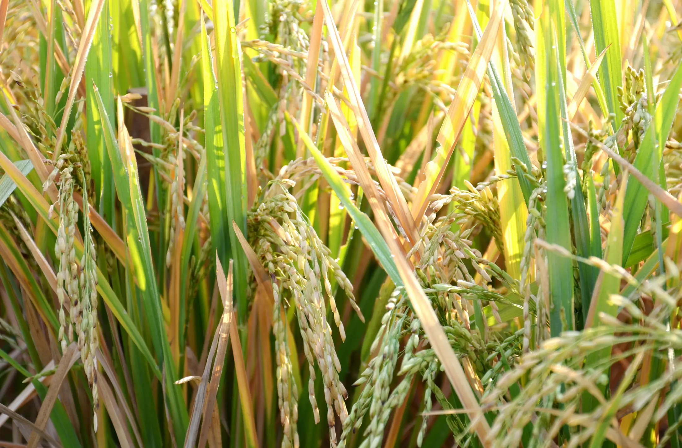
Global pests and diseases caused more than 40% yield loss and ecological degradation under the global climate change. There is an urgent need to enhance global cooperation in spatial information technology, specifically to advance scientific and technological capabilities in P&D monitoring and forecasting to ensure the food security and ecological development.
The Solution
Digital precision monitoring and early warning systems were developed for crop, forest, and grassland pests and diseases, focusing on major global vegetation pests and diseases such as desert locusts, fall armyworms, wheat rust, and pine wilt disease. It addresses the current lack of large-scale and rapid monitoring and early warning methods for pest and disease outbreaks. P&D monitoring and forecasting models and algorithms are established for 18 major crop, forest and grass P&D. Multi-scale P&D monitoring and forecasting products, reports are normally released by self-developed system to meet the requirements of multi-level users via metadata, API, map and software.
Latest Developments
The 4th Conference on Remote Sensing of Vegetation Pests and Diseases (2023) will be held in Inner Mongolia, China on August 19-20, and workshops related to pests and diseases forecasting will be carried out in 2023-2025.
More
Our Impact
Our work have been affirmatively approved or reviewed by the Standing Committee of the Political Bureau of the CPC Central Committee, adopted by the General Office of the CPC Central Committee and the General Office of the State Council 10 times, and adopted by national ministries and industry organizations more than 220 times, reducing the amount of pesticide application by about 30% and improving species Richness of about 10%: Adopted by the Food and Agriculture Organization of the United Nations (FAO), United Nations Platform for Space-based Information for Disaster Management and Emergency Response (UN-SPIDER), Global Biodiversity Information Facility (GBIF), Pakistani Ambassador to China, Agricultural Extension Department (AED), Eritrea, etc., supporting scientific prevention and control of an area of more than 500 million mu. GEO promotes this achievement as a typical case to the world.
Our work have been affirmatively approved or reviewed by governments and international organizations around the world through four forms: metadata, API, Map, and Software. For example,
- FAO used metadata to issue warnings to high-risk countries such as Somalia, Ethiopia, Kenya et al to guide global crop protection and found the pest in our forecast areas, valuable for decision making, guiding for early stage pest management;
- GBIF used APIs further to reveal environmental disturb factors and protect biodiversity, which is the first ‘Remote Sensing Dataset’ in GBIF for global circulation to support ecology sustainable development;
- Technicians and prevention staffs used pests and diseases map to conduct precision control, helping more countries enhance the country's food security through sharing data of monitoring and assessment of global vegetation P&D;
- Software can be used to forecast the risk of pests and diseases in specific areas and time to maximize biopesticide promotion. International branches reduced chemical pesticide usage and achieved cost saving using our results.
Policy Drivers
Global climate change has led to an increase in the severity of vegetation pests and diseases. To achieve international food security and maintain ecological sustainability at a large scale, there is an urgent need to develop timely and accurate remote sensing-based monitoring and early forecasting products and services. We build a community of stakeholders to improve our capacity to support the SDG2 & SDG13 of UN’s 2030 Agenda, and disaster prevention and reduction objects of Sendai Framework. Ultimately promoting global cooperation in vegetation pests and diseases control to help ensure global food security and sustainable development of ecosystem.
Our Donors
Our Partners
Participating Organizations
Non-affiliated