Global Ecosystems and Environment Observation Analysis Research Cooperation

Global Ecosystems and Environment Observation Analysis Research Cooperation

The Challenge

Focus on Global Ecosystem and Environment Observation Analysis Research Cooperation, GEOARC constantly to provide technology information and Product services to support the GEO priorities, including Sustainable Development Goals (SDGs), Climate Action, Disaster Risk Reduction, Urban Resilience and Human Settlements etc.

The Solution

GEOARC will closely collaborate with all work groups focusing on Ecosystem Service Functions, Biodiversity Protection, Carbon Sequestration, Food Security and Drivers, Vegetation in Arid Regions, Hydrology and Ecology in Large River Floodplains, Arctic Sea Ice Remote Sensing Observation and Application, Human Activities and Carbon Cycle Cooperation, Products and Validation, Data Sharing and Services, provide solutions to support the GEO priorities, Global Environmental Protection and Sustainable Development.

Our Impact

Annual reports and dataset products released by GEOARC are shared through platforms such as the National Comprehensive Earth Observation Data Sharing Platform As of June 2023, the Chinese version of the report was downloaded 8,737 times, and the English version was downloaded 36,357 times. From 2012 to 2016, the average number of downloads of the special report was 1,149 times (612 times for the Chinese version and 537 times for the English version); after 2016, the number of downloads surged, reaching 11,9198 times between 2017 and 2022 (90,239 times for the Chinese version and 28,959 times for the English version), which is more than 10 times that of the former. (chinageoss.cn/geoarc).In addition, GEO website (earthobservations.org) promoted the publication of the annual report and expanded the international influence of GEOARC.

Annual Reports in 2022:

China initiated the Global Ecosystem and Environment Observation Analysis Research Cooperation (GEOARC) since 2012 based on a series of products from National Science and Technology Programmes.

For more than ten years, GEOARC has produced 31 annual user-oriented reports and 117 datasets, which have been downloaded for more than 120,000 times.

Policy Drivers

The impact outputs of GEOARC are highly related to GEO work programme, Paris Agreement, Sendai Framework for Disaster Risk Reduction, and support to SDGs, i.e. SDG2, 3, 6, 7, 11, 13, 14, 15, 17…

  • SDG2 Zero Hunger:End hunger, achieve food security, improve nutrition and promote sustainable agriculture.
  • SDG3 Ensure healthy lives and promote well-being for all at all ages;
  • SDG6 Ensure availability and sustainable management of water and sanitation;
  • SDG7 Ensure access to affordable, reliable, sustainable and modern energy;
  • SDG11 Make cities and human settlements inclusive, safe, resilient and sustainable;
  • SDG13 Take urgent action to combat climate change and its impacts;
  • SDG14 Conserve and sustainably use the oceans, seas and marine resources for sustainable development;
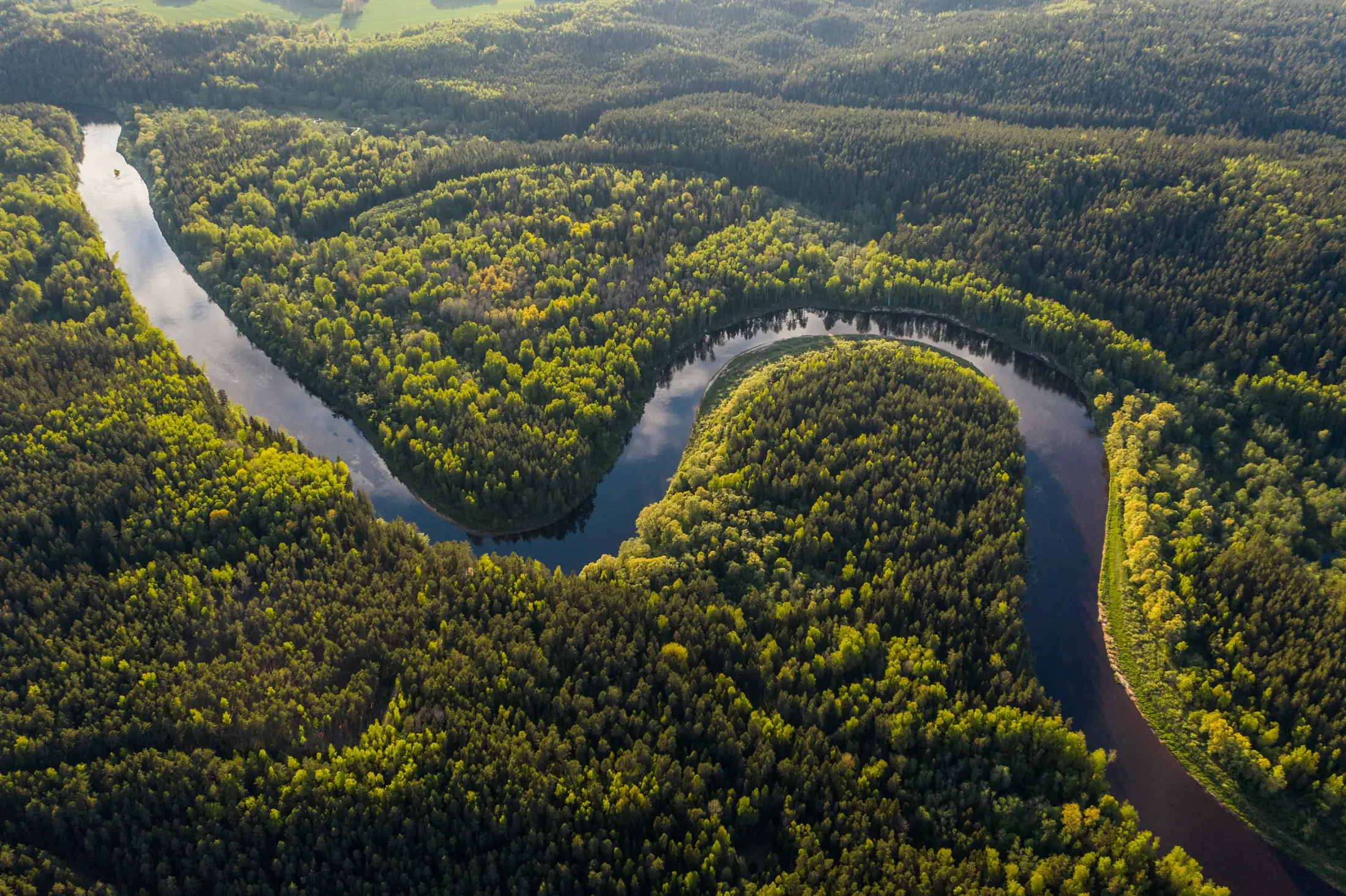
  • SDG15 Protect, restore and promote sustainable use of terrestrial ecosystems, sustainably manage forests, combat desertification, and halt and reverse land 10 degradation and halt biodiversity loss;
  • SDG17 Strengthen the means of implementation and revitalize the Global Partnership for Sustainable Development.

The data products, monitoring results and case analysis furnished in the report may offer scientific data support for the implementation of the 2030 Agenda for Sustainable Development.

Based on global hotspot issues, promote other countries to better formulate policies to protect environment, including biodiversity protection, sustain cultivated land quality, provide cooperation countries to implement SDGs services, and improve the operational capabilities of remote sensing monitoring. Effectiveness: It is beneficial to evaluate the monitoring and protection of the ecological environment, improve saving time, effort and financial resources.

How We Work

GEOARC is organized by the National Remote Sensing Center of China, assisted by the State Key Laboratory of Remote Sensing Science, Aerospace Information Research Institute, Chinese Academy of Sciences.

GEOARC is divided into seven work groups and steering committee group. The top research teams were organized interdepartmentally, giving full use of the advantages of remote sensing technology, the ecological environment of long-term dynamic change monitoring by remote sensing was conducted at the global, regional and national scales, to analyze the ecological environment change rule and driving factor, to release the Annual Report and datasets, to share the tools and cloud service platform. The co-leaders of WGs act as the members of the executive committee of GEOARC governing board. The work groups are listed as:

  • WG1 - Annual Reports Service
  • WG2 – GEO MuSyQ & Global Joint Product and Verification Service
  • WG3 – Food Security and Driving Factor
  • WG4 – Vegetation in Arid Regions
  • WG5 – Joint Observation of Hydrology and Ecology in Big Rever Floodplain
  • WG6 – Arctic Sea Ice Remote Sensing Observation and Application
  • WG7 – Human Activities and Carbon Cycle Cooperation

The advisory/expert group gives suggestions to ensure the successful conduction of GEOARC.

The secretariat gives support to ensure the orderly and smooth work.

Contacts

For more information about the Global Ecosystems and Environment Observation Analysis Research Cooperation explore the website

Find more