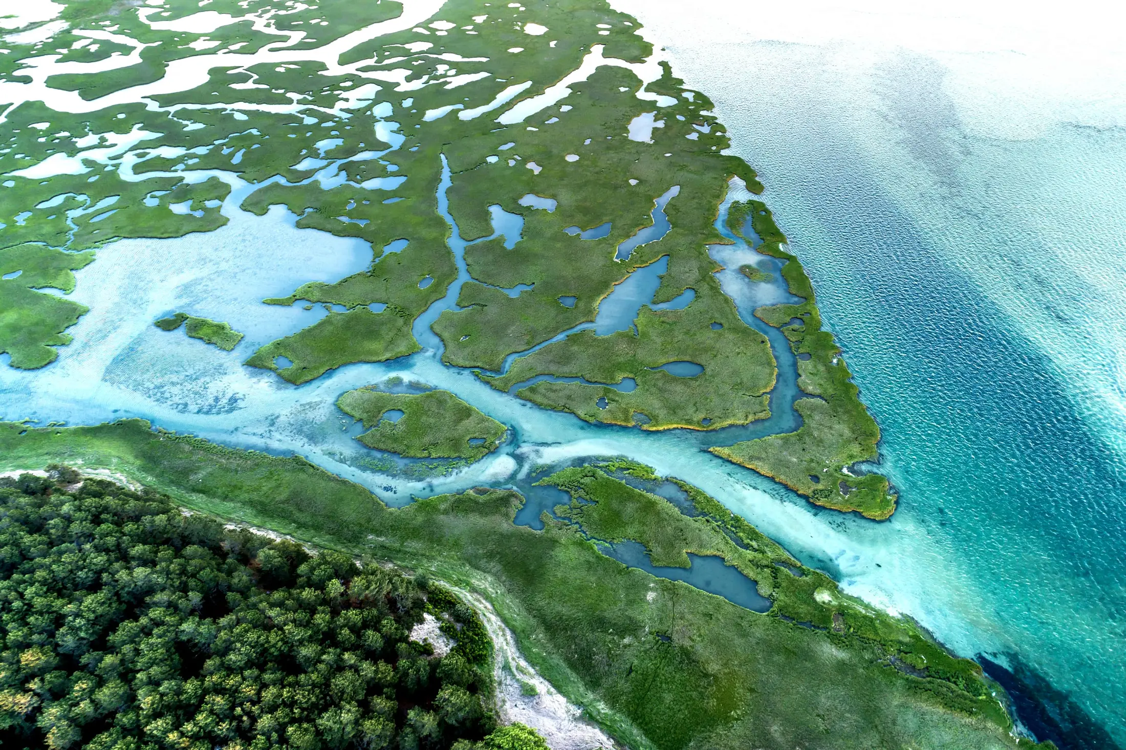
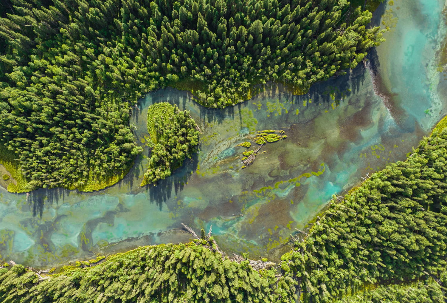
> The Global Ecosystems Atlas will bring together high-quality global, regional and national ecosystem maps into a single, open, online resource.
> Presenting the extent, structure and function of the world’s ecosystems in unprecedented detail, the Atlas will enable everyone—from governments to individual citizens—to take action to protect nature.
## CONTEXT
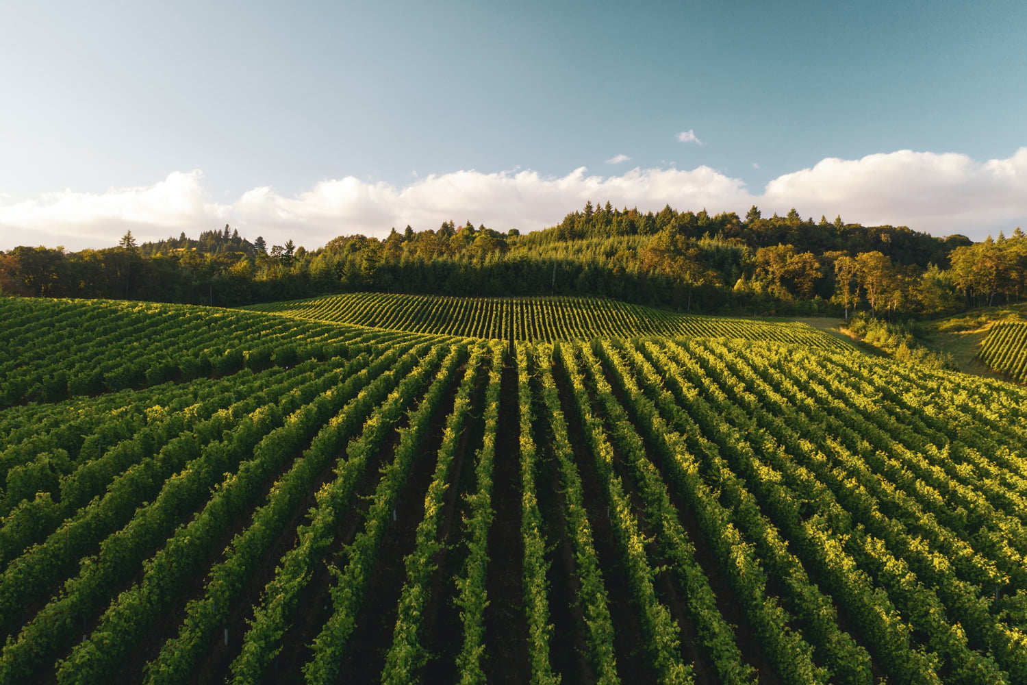
Over the last few decades, the Earth observation market has grown rapidly. The global satellite Earth observation market alone was valued at US$7,705 billion in 2021 and is expected to double by 2030. Earth observation–based services are powering investments in sectors such as agriculture, fisheries, forestry, health, transport, utilities, mining, and finance. In addition, there is a hard-to-quantify, non-market value for Earth observations.
However, when it comes to the Earth's ecosystems-the foundational systems that sustain human, plant, and animal life on Earth-investment in Earth observation services has been inadequate. Despite the information and technology available, existing data are inconsistent, incomplete, or widely dispersed.
> This is a massive missed opportunity. It’s time to transform the way we see, monitor, value and protect nature.
## AN ATLAS TO MEET GLOBAL NEEDS
Around the world, there is significant momentum for designing new, regenerative systems to help address existential threats from climate change and biodiversity loss. Additionally, stakeholders in the GEO community and beyond recognize the need for increased accountability in environmental agreements and policy frameworks.
> The Global Ecosystems Atlas will be an open user-friendly online resource that brings together high-quality ecosystems data in a single place.

Designed in line with the GEO principles of transparency and equitable access to trusted Earth observation information, the project is a response to needs expressed by many different stakeholders engaged in monitoring and reporting under environmental agreements, notably the Global Biodiversity Framework (GBF) adopted by the Convention on Biological Diversity at COP 15, inventories under the Convention on Wetlands, nature-based solutions under the United Nations Framework Convention on Climate Change (UNFCCC), and land degradation under the United Nations Convention to Combat Desertification (UNCCD) and others.
## SCIENCE, TECHNOLOGY, AND DATA FOR IMPACT
Driven by world-class science and information technology capabilities, the Atlas will integrate high-quality, vetted global, regional, and national ecosystem maps into an interactive interface, allowing for a near-real time view of ecosystems across multiple classifications and mapping approaches. Over time, users and contributors will fill data gaps and add new layers of information, including species distributions, ecosystem processes, and functions and services.
By enabling collaboration across sectors and countries, the Atlas will generate knowledge and insights on ecosystems, help improve and scale existing initiatives, and enhance transparency and accountability in stock-taking, reporting, and decision-making.
The Global Ecosystems Atlas will present ecosystems in unprecedented detail and quality. Users will be able to download content, launch queries, and create derivative products to meet their needs. Input providers will benefit from having their products spotlighted in a global platform, while being able to draw on the data to complement their own data, systems, or needs.
## APPLICATIONS
As an open-source tool, the Atlas will be useful to a broad range of users. In fact, the more users and use cases the Atlas has, the stronger and more useful it will become. Integrating national Earth observation information from remote sensing, in-situ data, citizen-generated data, and data from local communities will add unique value to the Atlas.
Many data projects and initiatives meet local, national, and regional needs, but they are not sufficiently and systematically linked to together to realise their full potential. Bridging data gaps through networks of existing and planned national biodiversity observation and monitoring systems will lead to near-real time understanding of global and regional trends in biodiversity and guide targeted conservation and restoration action.
### HOW CAN THE ATLAS BE USED?
* Viewing global ecosystem extents
* Setting conservation, restoration, and related targets
* Monitoring and reporting on multilateral environmental agreements including the Global Biodiversity Framework (GBF)
* Managing natural resources
* Forecasting changes and conducting research
* Designing early warning systems, nature-based solutions, and regenerative systems
* Reporting on corporate disclosure requirements and ESG
* Designing mobility, food, health, and other systems for the future
* Managing project and financial risk
* Implementing the System of Environmental-Economic Accounting (SEEA)
### WHO SHOULD USE THE ATLAS?
## WORK PLAN
> The Atlas initiative is a public-private collaboration convened and coordinated by GEO. The GEO Secretariat will act as the project manager and secure adequate, dedicated financial resources and services for the initiative. The workplan will be overseen by the Ad-Hoc Science and Technical Committee.
In 2024, we will be developing the proof-of-concept to be unveiled at the CBD COP 16 in Colombia, scheduled between October 20th and November 1st, 2024. This proof of concept will be crafted through a user-centric approach, placing an emphasis on the needs surrounding the initiative’s core use cases. The full-scale implementation of the initiative is set to begin in 2025.
A key component of the proof-of-concept phase is an ‘accelerator’ program in the Maldives. Developed in partnership with the Maldives Ministry of Climate Change, Environment and Energy, the aim of the GEO-Maldives ecosystems accelerator is to develop a wall-to-wall map of Maldivian ecosystem types, as defined by the IUCN Global Ecosystems Typology, that can be directly ingested into the Global Ecosystems Atlas basemap.
All learnings, materials and other ancillary information developed through the accelerator are to be made openly accessible to support future efforts to map ecosystem types within the Maldives and in other areas worldwide.
## GET INVOLVED:
We are seeking to collaborate with countries who possess national ecosystems maps and wish to contribute them to the catalogue of maps that will underpin the development of the Global Ecosystems Atlas basemap - the first synthesis map of the world's ecosystems aligned to the IUCN GET.
Please access this google form where you can enter relevant information about your map. If you have any questions regarding this request, please email the atlas team at [ecosystems.atlas@geosec.org](mailto:ecosystems.atlas@geosec.org)
Governance
The Ad-Hoc Science and Technical Committee:
The Ad-Hoc Science and Technical Committee shall review and assess the project’s progress, ensuring that it is fit-for-purpose (meeting the needs of Global Biodiversity Framework and UN SEEA Ecosystem Accounting), stays on track with its goals and timelines, including by:
Ensuring that the Initiative meets the diverse needs of stakeholders and aligns with project objectives.
Advising on the integration strategies for consolidating various data layers into the Atlas.
Offering strategic direction for the development of the Atlas's digital interface and analytical tools.
Identify and assess potential risks to the project, as well as advise on strategies and solutions to mitigate identified risks and address challenges.
Oversee the development and implementation of quality assurance standards across relevant project activities.
Attend Committee meetings, ensuring preparation for each meeting by reviewing relevant documents, progress reports, and agenda items.
At the end of its term, the Committee will provide a high-level summary report to the to-be-constituted Atlas Steering Committee.
Contacts
For more information about the Global Ecosystems Atlas_NEW please contact GEO Secretariat