The Challenge
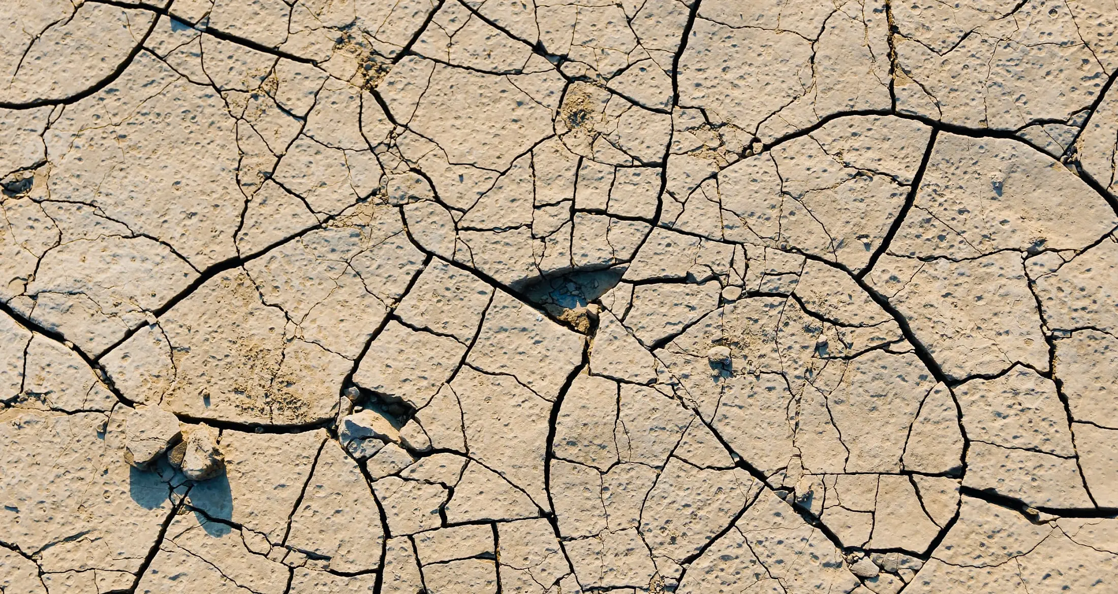
Droughts are produced by multiple environmental factors, and there is a lack of universal, scientific consensus on best practices for drought monitoring at global and continental scales. Rising temperatures, heat waves, increased evaporability accompanying climate change are elevating the predisposition towards drought formation and water scarcity.
The Solution
The Global Drought Information System (GDIS) provides protection for global agriculture, forests, and human habitation through innovating drought monitoring technology to enable them to operate close to near-real-time, realistic and high resolutions. GDIS explores the relationship between rates of drought incidence and linkages to climate change. GDIS innovates a web mapping geographical information system infrastructure, coupled with cloud processing technology, to support user-useful maps retrievable at high resolutions to process satellite imagery and to make high-resolution images accessible, at any point on the terrestrial globe, outside polar regions in minimal time.