The Challenge
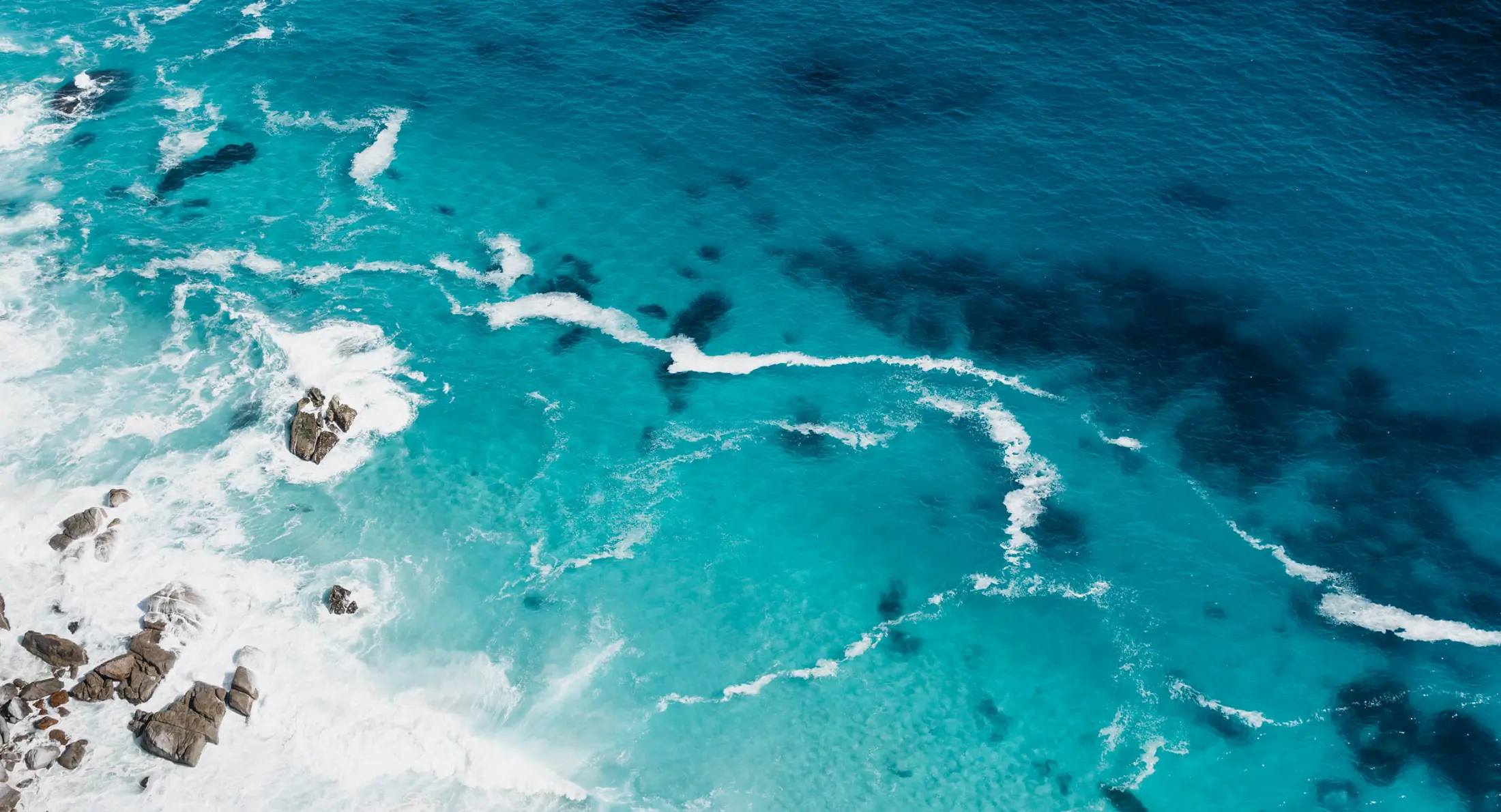
Our blue planet's future is becoming increasingly dependent on the services provided by marine and coastal waters. Fisheries and aquaculture employ approximately 60 million people, and more than 80% of global trade is carried by sea. To support evidence-based decisions in the marine realm, physical, chemical, and biological data about coastal and open-ocean areas must be collected.
The Solution
GEO Blue Planet aims to ensure the sustained development and use of ocean and coastal observations for the benefit of society. The initiative is bridging the gap between ocean and coastal observational data and societal needs to deliver actionable information.
Services:
Fisheries Working Group:
- MS Fisheries Alerts for Bangladesh: Transfer of early warning of ocean state information disseminated using flags and SMS developed by GMES and Africa / University of Ghana, towards Bangladesh.
- Earth Observation and ocean data to support fisheries and climate change modeling: Review existing best practices and standards for Earth Observation and ocean data access and dissemination to support models relevant to Fisheries and Climate Change and recommend a way forward.
- Earth observation data for onshore and offshore culture fisheries: Operating Procedure (SOP) to use the Earth Observation data (remote sensing, in-situ and modeling) for site selection of farms being developed, as well as in supporting the ongoing culture with a DSS (Decision Support System).
- Identify gaps in Earth Observation data to establish the impact of marine litter on fisheries: This Action can be a joint action between the Marine Litter WG. To address this action, the working group will identify gaps in Earth observation data by engaging the Integrated Marine Debris Observing System, as well as with international experts from academia, industry, civil society and stakeholders.
- Peer-reviewed White Paper from the Tuna workshop: This Action will produce a summary White Paper from the GEO Blue Planet “Earth Observations for Tuna Fisheries Management” workshop which was held virtually in November December 2020.
Marine Litter Working Group:
- Peer-reviewed white paper on the current status of marine litter monitoring and data.
- Support Marine Litter and Plastic Pollution Data Harmonization: Marine litter data is currently not well integrated or easily comparable. GEO Blue Planet is supporting the UN Environment Program’s GPML Digital Platform and their associated community of practice on marine litter and plastic pollution data harmonization.
- Support codevelopment of a global sustained Integrated Marine Debris Observing System with policy makers and the scientific community: IMDOS will support the development of harmonized observations for the benefit of scientific research advancement and for the development of innovative solutions, mitigating actions and informed policymaking.
Sargassum Working Group:
- Inventory of available Sargassum products: This inventory of available products will review the current and developing monitoring products and strengths and potential improvements of existing products as well as their status.
- Community Sargassum near-realtime monitoring and coastal risk inundation tool: First release of a community Sargassum near-real-time monitoring and coastal risk inundation tool with a variety of satellite-derived products at various processing levels.
- Sargassum Information Hub: The Sargassum Information Hub aims at generating context and additional information related to Earth Observation products and services related to Sargassum to support decision making and collaboration.
Coastline Changes Working Group:
- WaveForce development and implementation: The Wavedriven Flood-forecasting on Reef-lined Coasts Early warning system (WaveFoRCE) is an Action established to combine satellite observations with models to provide marine flood forecasts for all coral reeflined coasts in the world. The WaveForce system is being developed and tested in a few locations.
- Satellite derived coastal bathymetry of Pacific Islands: This action will involve building an international team of experts to put together a proposal for funding a campaign to develop extensive satellite-derived bathymetry for the Pacific Islands and implementing the service.
- Coastal Erosion/Accretion monitoring products: This activity aims to help in providing a roadmap enabling us to rely on the capabilities of Earth observations datasets and information to better support coastal zone management and mitigation of coastal hazards for sustainable development.
Eutrophication Working Group:
- Support global reporting for SDG indicator 14.1.1a (index of coastal eutrophication): GEO Blue Planet developed two satellitederived global indicators for indicator 14.1.1a. In collaboration with Esri, this data is being supplied yearly to UN Environment for yearly reporting on the indicator as well as analyzed for the yearly SDG report.
- Dashboards, information hub and toolkits for SDG indicator 14.1.1a: This action involves producing visualizations of 14.1.1a indicator data and co-designing tools with users that assist with decision making.
- Support development of higher resolution, locally-tuned products: This action will involve working with regional stakeholders to support technology transfer and capacity development for the generation of specific eutrophication monitoring products in other regions.
Oil Spill Working Group:
- Collaboration for Oil Satellite Tracking in the Americas: COSTA program, which stands for Collaboration for Oil Satellite Tracking in the Americas program is a collaborative effort to coordinate, train and set up operational oil spill monitoring and oil spill incidence satellite support for the Wider Caribbean region and Americas.
- Earth Observation and ocean data to support oil spill monitoring and modeling: Review existing best practices and standards for Earth Observation and ocean data access and dissemination to support monitoring and tracking of oil spills and recommend ways forward and technology transfer opportunities.
Climate Adaptation Working Group:
- National Adaptation Plan guidance: to develop a guidance document for using Earth Observations to inform National Adaptation Plans.
- Blue Carbon mapping: This action involves working to integrate and update Blue Carbon mapping using Earth observation. This activity would be a crossGEO activity and will require significant fund raising.