The Challenge
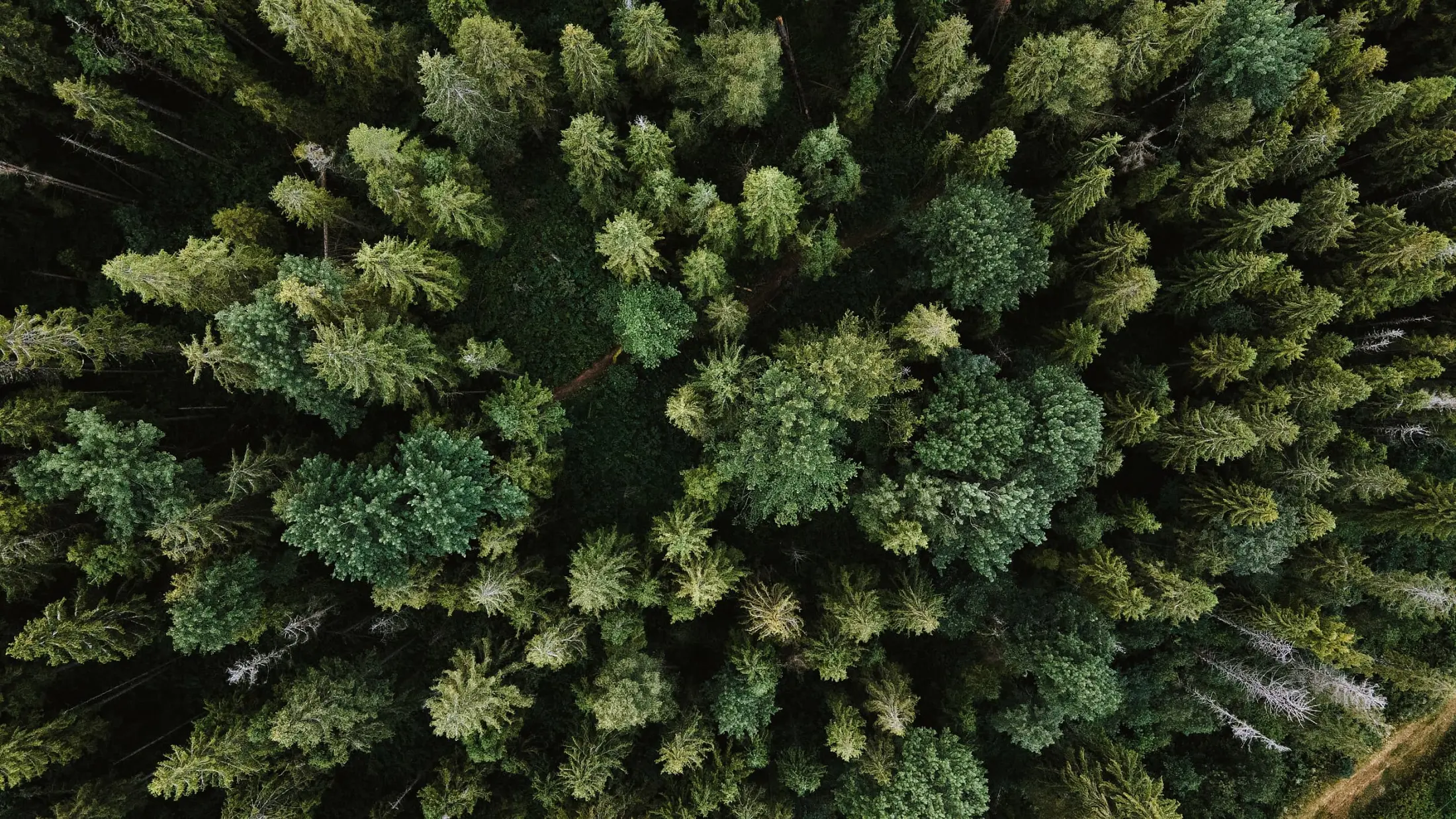
In the context of the climate crisis, reducing our emissions must go hand in hand with strong carbon offsetting. One strategy for achieving this is to study the carbon and the biomass in forests. Today, there is no shortage of very impressive maps based on biomass products derived from Earth observation. But these maps strongly need to be validated by high-quality field data.
The Solution
Some efforts have been put together by the CEOS community since 2018, by creating a global Forest Biomass System as an equitable and sustainably-funded system of recurrent site-based measurements that will serve as a lasting interface between the Earth Observation (EO) agencies and ground-based tree-by-tree measurement initiatives. This infrastructure is designed to become a common good for the entire EO community. From this context, the GEO-TREES initiative will be the world's first ground-based, open-access, equitably developed, forest biomass reference system designed to make global satellite-based forest carbon assessments actionable.
Latest Developments
A GEO-TREES community engagement meeting was held in June 2023 at the POLINSAR & BIOMASS 2023 workshop to introduce the initiative to the whole community
Our Impact
Through this structure, the GEO-TREES initiative is a win-win because: - sites partners benefit from funding and increased visibility; - existing networks benefit from continuity in funding streams; - the Earth observation community benefits from free access to biomass data, on a continuous and long-term basis.
Policy Drivers
Establishing a globally consistent system for measurement, reporting, and verification (MRV) of forest carbon stocks and fluxes is not simple, because forests are complex. But confronting this complexity is exactly what is needed, both to constrain models predicting the capacity of forests to store carbon as the planet warms, and to de-risk investment in forest carbon dioxide removal (CDR) – through restoration, regeneration and avoidance of forest loss. Communities, decision-makers, and forest carbon markets at all scales require reliable, cost-effective, real-time systems for MRV, and humanity needs a much stronger understanding of the impact of continued climate change on the capacity of forests to absorb CO2 in a warmer world.
Our Donors
Our Partners
Participating Organizations
Non-affiliated