Earth Observations for multi-scale monitoring of mining impacts

Earth Observations for multi-scale monitoring of mining impacts

The Challenge

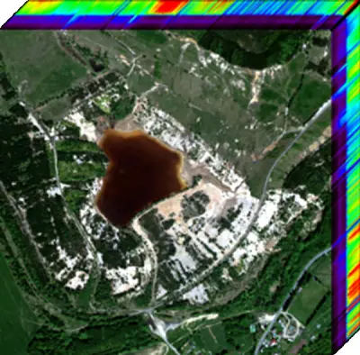
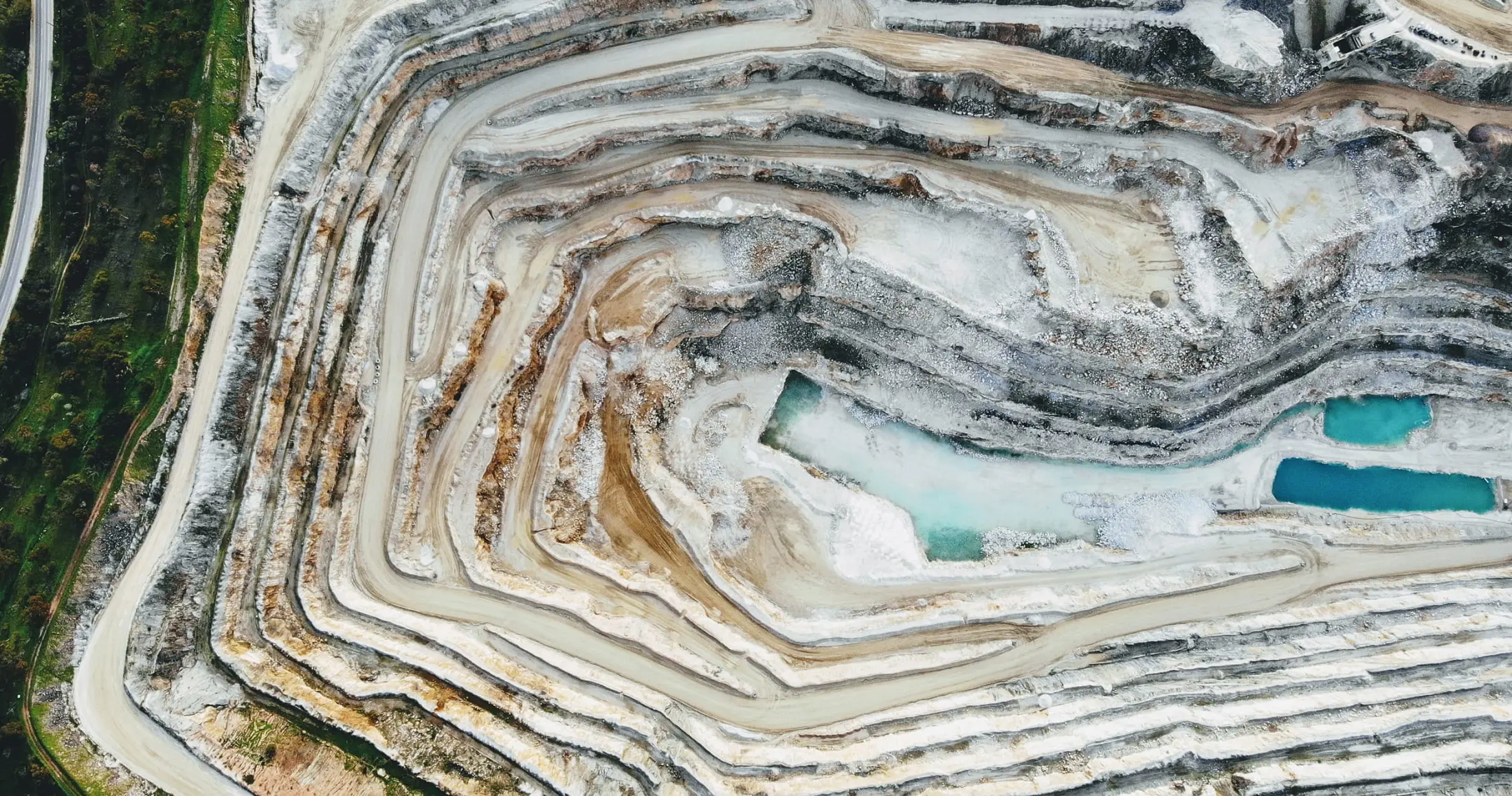
GEOMIN activity is to increase awareness and use of state-of-the-art EO data and methods which represent a novel means for sustainable monitoring and management of mineral resources and efficient multi-scale monitoring mining impacts.

The Solution

Mining life cycle (exploration, extraction, closure, mine-site rehabilitation) needs to develop minimal impact exploration and monitoring technologies. In this respect EO and relevant in-situ data bring significant contribution for both, sustainable management of mineral resources and efficient multi-scale monitoring of mining impacts. To tackle some of these challenges our initiative will focus on the following strategic areas:

  • Show-casting state of the art EO methods depending on the scale of mining
  • Promoting interoperable strategies and other relevant standards for spectral in-situ data collection
  • Demonstrating and communicating cutting edge EO data and methods
  • Promoting freely available EO data, platforms and tools

Latest Developments

GEOMIN is promoting and demonstrating new EO based use cases, tools, products and services developed for monitoring and sustainable management of mineral resources and efficient multi-scale monitoring mining impacts.

Our Impact

In 2021 UNEP/GRID-Geneva and the Minamata Convention on Mercury have collaborated to draft a technical guidance document aiming at showing the benefits and challenges of the use of remote sensing technologies to support artisanal and small-scale gold mining (ASGM) policy development, implementation, and evaluation ; as well as a practitioner’s guide. The documents can be downloaded from here. A storymap illustrates the findings of the work.

How We Work

GEMIN places emphasis on building a network of existing organizations and experts with Geological Remote Sensing expertise. We focus on promoting free and open access EO data, tools and platforms that have a potential to bring significant benefits for managing mineral resources in an efficient and socially acceptable way. The key objectives are defined as follows:

EO for multi-scale and muti-sensor monitoring (optical and radar systems) of mining impacts covering applications for artisanal and small-scale mining (ASM) to regional and global scale:

Goal: Assess the potential of EO methods for monitoring ASM activities at different scales, assessing related environmental impacts, and supporting policy making and implementation. Because of unique concerns related to mercury pollution from artisanal and small-scale gold mining, focus will be on this sector, but could also include applications relevant for regional and global scale.

Goal: Promote free EO and in situ data, tools and platforms focusing on hyperspectral missions (operational: EnMAP, PRISMA, DEISIS, EMIT; HISUI, future: ESA CHIME, NASA SBG)

Goal: Based on high-performance computing platforms and parallel algorithms, demonstrate SAR data capability for surface subsidence mapping.

Goal: Developing novel stereo photogrammetry technology for terrain mapping.

Goal: Propose guidelines and recommendations for policy makers and validate the outcomes with relevant stakeholders.

Building community and GEO Knowledge Hub for GEOMIN:

Goal: Create a global network connecting scientists, technology innovators and mining stakeholders focusing on the following aspects:

Goal: Allowing sharing scientific findings, best-practices and promotion of free EO tools and data.

Goal: Identifying needs and requirements of end-users This will allow us to develop and implement capacity building activities which can improve the future uptake of EO data and tools for raw material's applications.

Contacts

For more information about the Earth Observations for multi-scale monitoring of mining impacts please contact GEO Secretariat