The Challenge
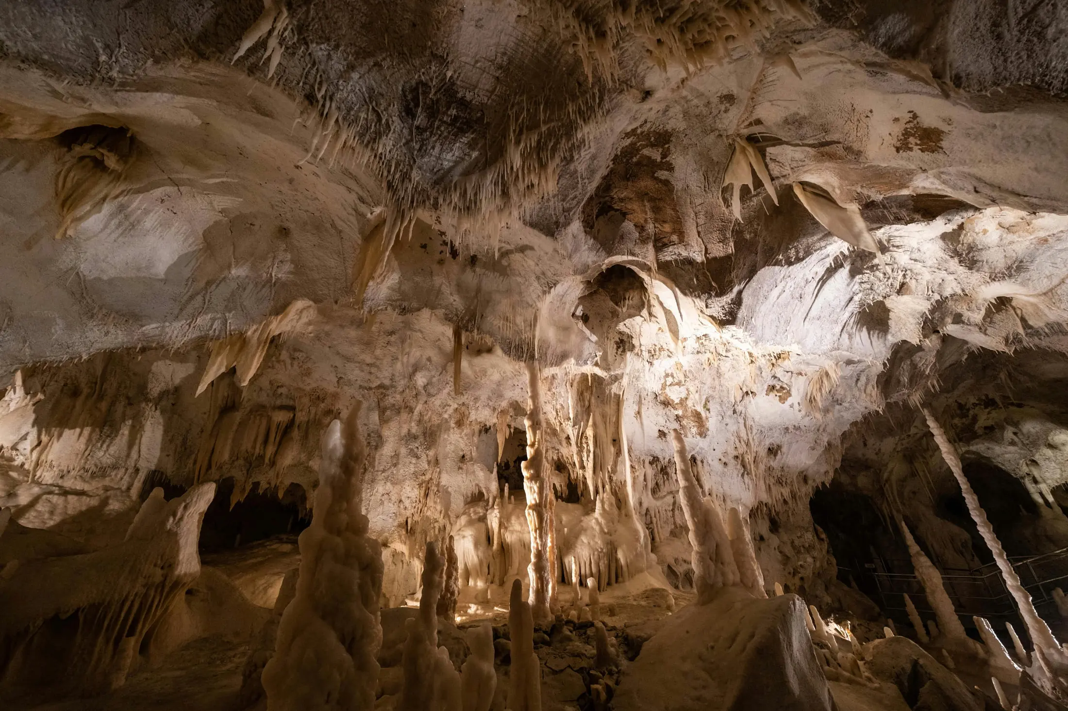
The soluble rocks and double hydrogeological structure enabled easy impacts of human activities on surface to the underground and spread to other parts through the conduits network. Calculating the thresholds of human activities to restrict the bad influence is in an urgent need now.
The Solution
- Enable effective data sharing on karst resources and environment based on observation networking in typical karst areas;
- Establish comprehensive models for karst areas’ sustainability under human activities in water resources, and landscape resources, which could be important references for policies making;
- Develop an intelligent system for users to assess the status of resources and environment in typical karst areas and make early intervene for possible hazards, share the related data and support for related policies making.
- Foster outreach and capacity building for the use of the outputs through training, education, internship, workshops, etc
Our Impact
Outreach for better cooperation:
In order to support this Pilot Initiative, the project organized an on-spot training course themed “Sustainable Utilization of Natural Resources in Karst Areas (I): Remote Sensing and Monitoring” at Nanning, Chongqing and Guilin on 16th-29th May 2023. This training course attracted 24 trainees and lecturers from Asia, Africa, Europe, Oceania, and the Americas, and 15 renowned experts in the fields of karst, remote sensing, and information technology from six countries (regions) were invited to give lectures and serve as instructors. The training course integrated indoor lectures, forum exchanges, field practice, and student evaluations. The training course introduced the EO4KARST, remote sensing monitoring and in-situ monitoring on natural resources and geohazards in karst areas to all the attendees to raise their common sense to this initiative for possible cooperation in the future.
Policy Drivers
This initiative is aiming to support the SDGs like SDG 6: Clean Water and Sanitation, SDG 9: Industry, Innovation and Infrastructure, SDG 11: Sustainable Cities and Communities, SDG 13: Climate Action, and SDG 15: Life on Land by integration of remote sensing technology and in-situ monitoring technology, which will generate an useful app and multi-parameter modes for the sustainable utilization under global change.
Our Donors
Our Partners
Participating Organizations
Non-affiliated
ZRC SAZU Karst Research Institute