Earth Observations for Disaster Risk Management

Earth Observations for Disaster Risk Management

The Challenge

Disasters, many of which are exacerbated by climate change are increasing in intensity and frequency, impede progress toward sustainable development, and impose significant risks on economic, health, and environmental at different time and geographical scales. More dedicated action needs to be focused on monitoring disaster risk drivers to improve preparedness for disaster response.

The Solution

The Earth Observations for Disaster Risk Management (EO4DRM) aims to promote the uptake of satellite data for disaster risk management activities relating to natural hazards. Outputs of this activity include a wide range of risk related information products on co-seismic or terrain displacement prior and during volcanic eruptions to information on flood depth/extent and receding flood waters.

Main users are grouped by their thematic interests:

  • Seismic hazards and risk

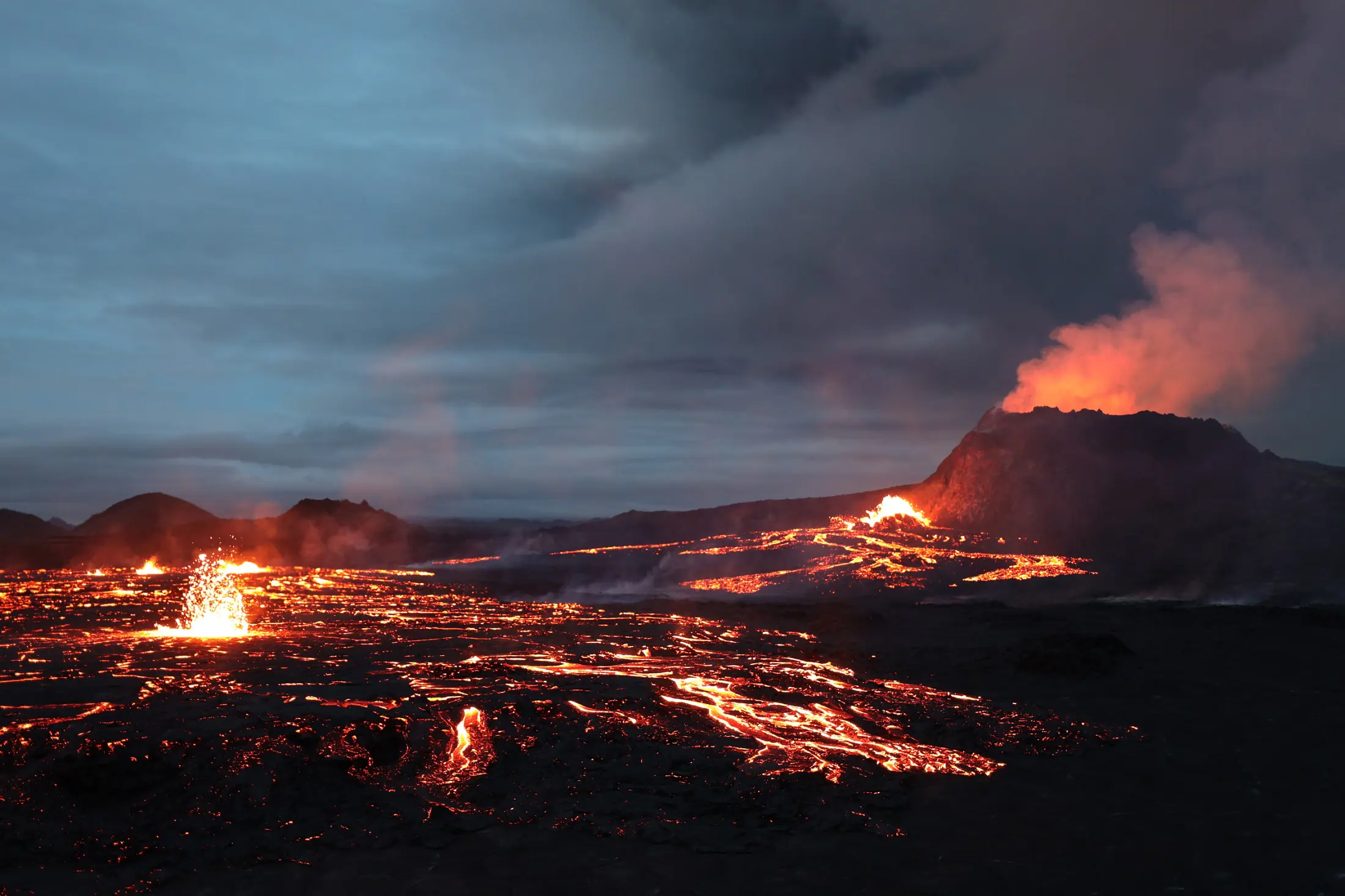
  • Volcanoes

  • Landslides

  • Recovery planning and monitoring

Policy Drivers

Sendai Framework for Disaster Risk Reduction

How We Work

Generally, EO4DRM focuses on improving Disaster Risk Reduction and Management (DRR/DRM) through detailed and geolocalized knowledge of hazards of disasters' impacts and understanding risk within the global and national risk management communities. EO4DRM aims to improve disaster risk management and reduction by providing timely risk information relevant to the full cycle of disaster management (mitigation, preparedness, warning, response and recovery). This activity used both by the end user community including decision makers that must take appropriate DRR measures and by intermediate users such as science and research institutes that inform end users.

Many countries do not have access to multi-hazard early warning systems or appropriate disaster risk information and assessments. Increasing the use of satellites for DRR/DRM has always been an important global issue, as evident in the global agreement adoption of the Sendai Framework for Disaster Risk Reduction (SFDRR) 2015-2030. The key activities that include improving DRR include, promoting timely and reliable access to in-situ data, and demonstrating the validity of the end-to-end systems and multi-hazard Pilots. Most of the datasets are free and open access.

EO4DRM builds outputs on existing CEOS thematic pilots (i.e., wildfire and flood) and demonstrators (seismic hazards, volcano, landslide, recovery observatory) with a view of creating a wider community of users and ensuring better linkages to end user communities. Past pilot projects have produced multiple risk products that have been taken up by civil protection agencies and other end users, and have generated new science products based on EO data. In the case of volcanoes and seismic hazards, new demonstrators have been introduced to achieve broader user uptake and sustainable financing for long-term applications.

Contacts

For more information about the Earth Observations for Disaster Risk Management please contact GEO Secretariat