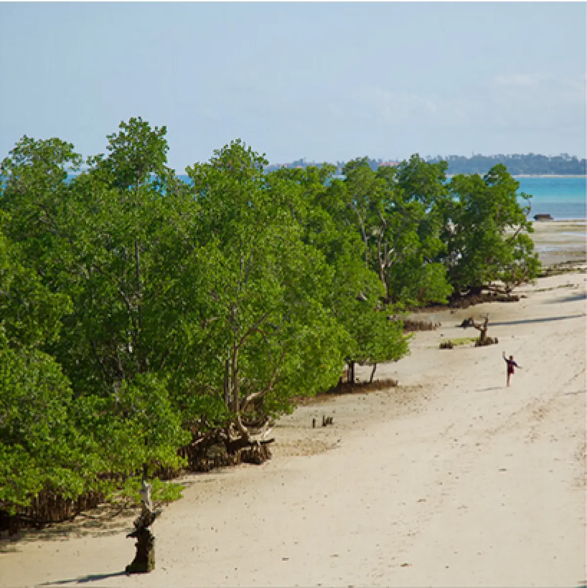
Using satellite data to combat drought - Monitoring Lake Sulunga, Tanzania
29 Mar 2025
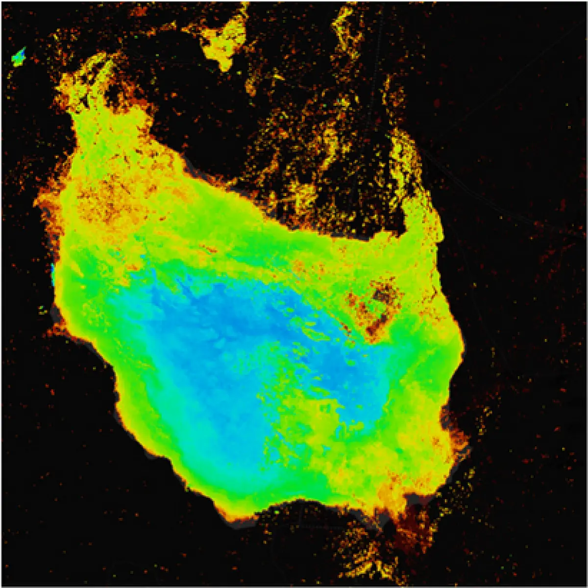
Communities across the African continent are feeling the human and economic impacts of climate change, food insecurity, land degradation, and urbanization. Even though many satellite images are freely available, it is a challenge to translate them into meaningful and usable information for decision-making to address these threats.
Digital Earth Africa (DE Africa) aims to improve the lives of people across Africa by providing planners and policymakers with tailored Earth observation information to support better decision-making and enhance sustainable development outcomes. The platform makes continental scale, analysis-ready data available, saving time on accessing, pre-processing and organizing satellite images.
DE-Africa uses open and free Analysis Ready Data (ARD) provided by international satellite programs, including:
Users have access to a comprehensive set of open-source example notebooks and Python tools to enable EO on the DE Africa Sandbox.
To learn how to use DE Africa products, services and tools please visit learn.digitalearthafrica.org.
DE Africa hosts live weekly sessions
DE Africa hosts live weekly sessions, aimed at connecting with the DE Africa use community across the continent and demonstrating new products and services. Access previous sessions via our YouTube channel by visiting: https://www.youtube.com/channel/UCBasD3Dz-TdQTRoyG30kVVw
To date, DE-Africa has published over 25 user-led case studies and impact stories, across Africa (Ghana, Kenya, Tanzania, Botswana, Uganda, Mozambique, and Zambia) supporting 7 different SDGs.
Through DE-Africa, users have access to a wide range of land and water resource information. DE-Africa's work is categorized under the following themes:
These kinds of satellite data are already enabling governments and other stakeholders to progress towards their national development priorities and the Sustainable Development Goals (SDGs), in particular:
SDG2, SDG6, SDG9, SDG11, SDG13, SDG14.
With DE-Africa’s data and services, users are also able to work toward the African Union’s Agenda 2063 to help address:


The DE Africa team is hosted by the South African National Space Agency, in Pretoria, South Africa. With other members of staff in Ghana, Kenya, Rwanda, Sri Lanka and Australia. The team is supported by global advisors based across the world.
DE Africa has a distributed operational model that places emphasis on working with and through existing organizations and partners with Earth observation capabilities and facilitating new networks to allow the flow of information and end users (e.g. policy and program decision-makers) to be connected to the technical platform and the data and decision support tools that it offers. In 2020, key parts of the model were put in place, including agreements with several Implementing Partner Organisations.
DE Africa has engaged closely with six national and regional ‘Implementing Partners’, who together represent the interests of 43 African countries, these partners include:
Each of our Implementing Partners are selected based on their existing role in supporting the uptake of Earth observation in decision making and based on their existing strengths in providing technical support to affiliated countries. Implementing Partners themselves will be key users of DE Africa.
For more information about the Digital Earth Africa explore the website
Find more