Overview of the event:
Indigenous peoples are on the front lines of climate change. In the face of rising temperatures and more extreme weather events, Indigenous communities are increasingly using Earth observation satellite data to adapt to climate change and protect their unique relationship with their environment. Satellite data can be used to track environmental changes such as deforestation and changes in sea ice. This information can help Indigenous and local communities adapt and respond to the impacts of climate change so that their way of life is sustainable for future generations.
The use of satellite data by Indigenous peoples is an important step in the fight against climate change. However, most environmental datasets are inaccessible to people without Internet access or scientific or professional training, and when the data is accessible, it often exceeds the storage and processing capacity of personal computers. New efforts facilitated by open source tools are expanding the range of people who have access to critical environmental data beyond the traditional groups of universities, research centres, and government agencies. The GEO Indigenous Alliance is the only global coalition led by Indigenous Peoples committed to using open source technologies and Earth observation data to support the preservation of traditional knowledge, languages, lands, waters, and cultures.
This session will engage audiences and inspire climate action by showcasing how Indigenous Peoples are using Earth observation data and tools around the world and how the GEO Indigenous Alliance is collaborating with the GEO community to increase the use of open-source technologies and high resolution satellite imagery used by Indigenous Peoples.
Join us to learn more about the remarkable Indigenous led EO-based adaptation projects that are leading the way in climate action.
Format: 5 minutes presentation with 2 minutes Q/A for each speaker
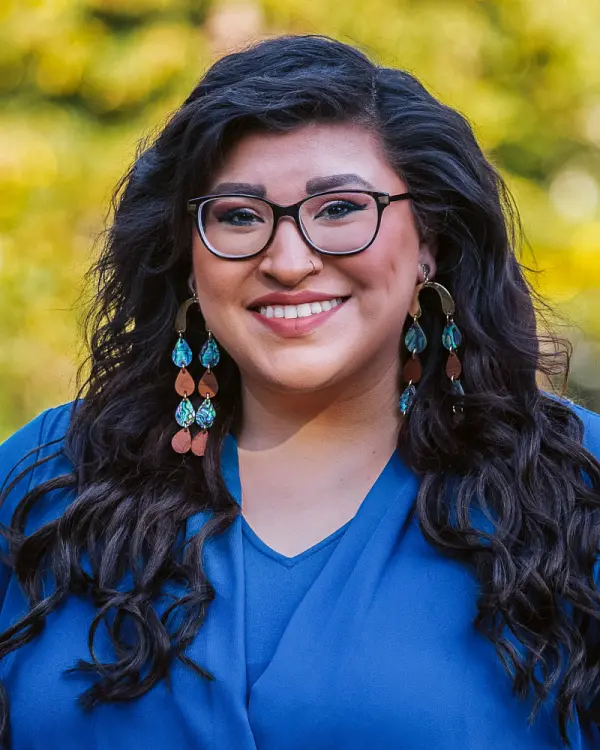
Moderator: Diana Mastracci
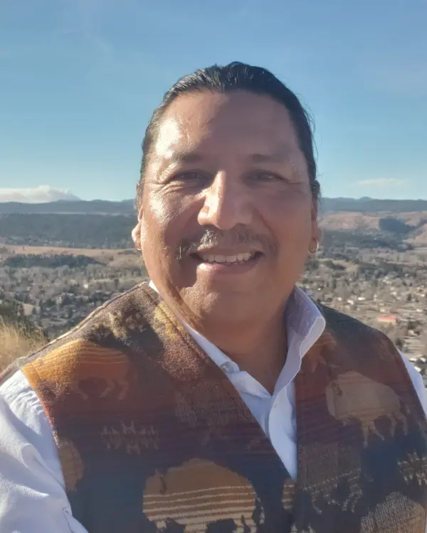
Introduction and Welcome Remarks: James Rattling Leaf Sr. (Rosebud Sioux) (5-7 minutes)
Indigenous case studies from around the world to inspire action in Africa and gather support
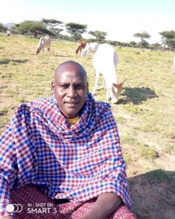
- Titus Letaapo (Samburu) The Lopa & Namunyak Apps: Two Indigenous Apps integrating Indigenous Knowledge with Earth Observation Data for Food Security and Climate Action
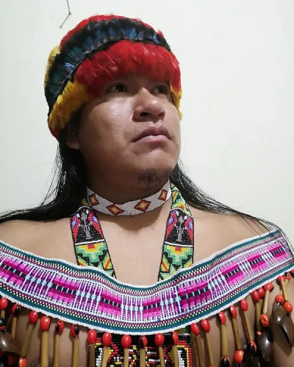
- Mario Vargas Shakaim (Shuar) The Shakaim Project: An Indigenous led reforestation effort in the Amazon jungle
- Noon Altijani Osman Abbakar (Rizeigat) Using Data to Accelerate Women’s Empowerment in Healthcare for Climate Action
- Douglas Mbura (Kissi) The Indigenous Visibility App
Way forward
- Diana Mastracci Sanchez The GEO Indigenous Alliance Way Forward
- Dan Hawk (Oneida Nation) Indigenous Space Sovereignty
- Autumn Asher BlackDeer (Southern Cheyenne Nation) Decolonizing Data: The Movement for Indigenous Data Sovereignty
- Charlotte Bishop NICFI Satellite Date Program and GEO Indigenous Alliance
- FAO representative FAO/SEPAL and the GEO Indigenous Alliance
Closing remarks: Titus Letaapo (Samburu) Mario Vargas Shakaim (Shuar)