How Earth Intelligence supports climate adaptation for small islands and the world’s least developed countries
Extreme events, rising seas and record-high temperatures are accelerating, but impacts fall unevenly: Small Island Developing States (SIDS) and Least Developed Countries (LDCs) face outsized risk from sea-level rise, coastal hazards, habitat loss, and erosion. This is despite minimal contributions to emissions. Strengthening adaptive capacity in these countries is therefore a priority – and Earth Intelligence has a key role to play.
The NAP process driving coastal and ocean adaptation
Under the United Nations Framework Convention on Climate Change (UNFCCC), the National Adaptation Plan (NAP) process supports LDCs to identify medium- and long-term adaptation needs and define strategies to address them. To advance this work, the UNFCCC convenes NAP Expo events to:
- facilitate interaction among country NAP teams and providers of support;
- share experiences and best practices; and
- create a global platform to advance technical measures to support the production of NAPs.
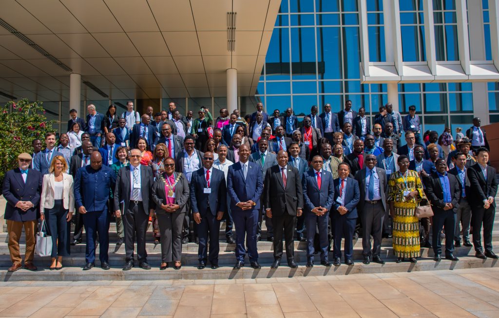
This year’s NAP Expo in Lusaka, Zambia, focused on “Innovations in the NAP Process,” highlighting new approaches to design, finance and implementation, and updating technical guidance.
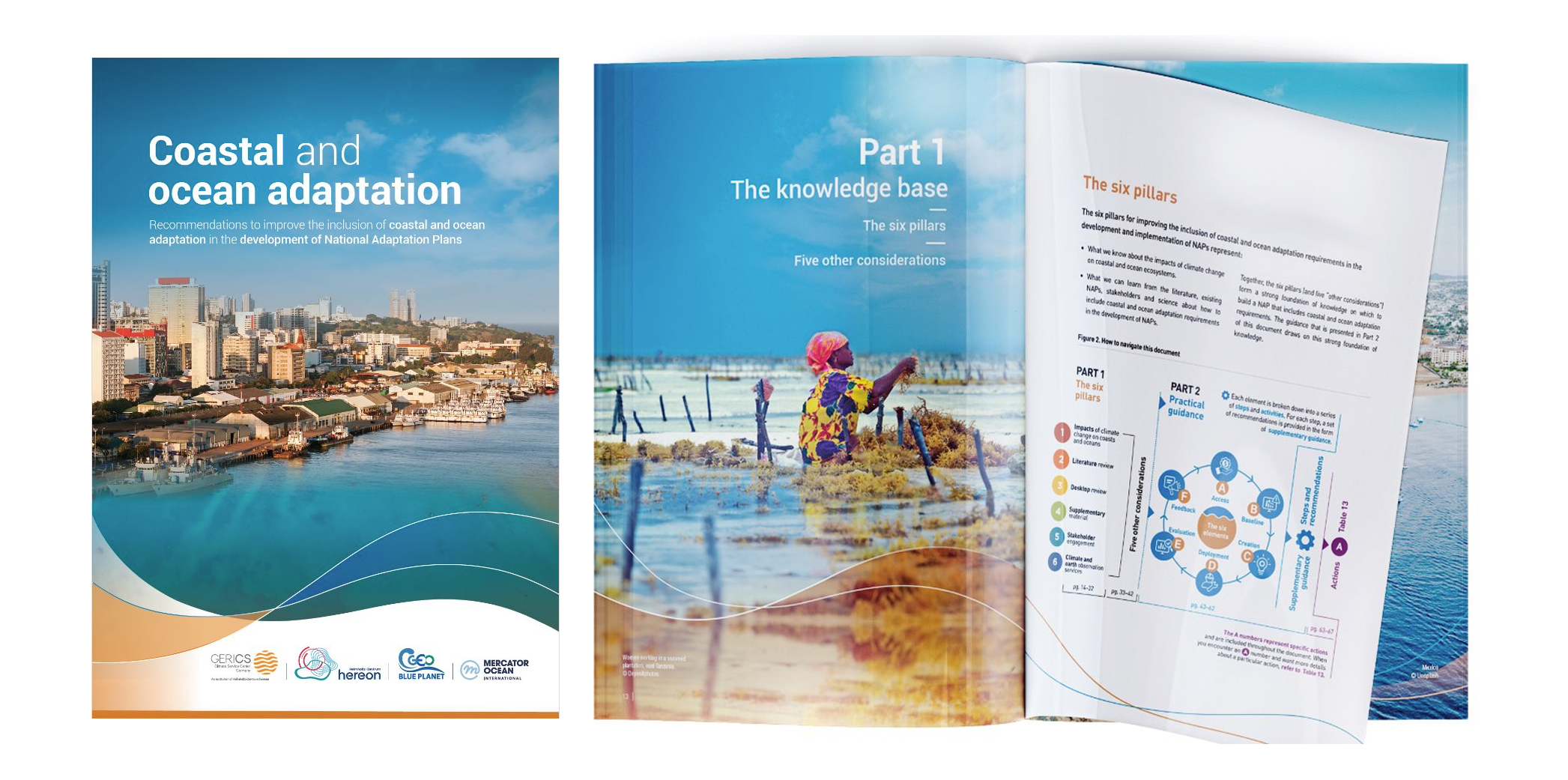
There, GEO Blue Planet, Climate Service Center Germany (GERICS-Hereon) and Mercator Ocean International launched Supplementary Material to strengthen the treatment of coastal and ocean adaptation within NAPs. The document provides:
- key guidance for the integration of climate services and Earth observations into decision support frameworks;
- recommendations to improve the inclusion of ocean and coastal adaptation in the development of National Adaptation Plans; and
- best practices for coastal and ocean adaptation at different stages of the NAP process.

The role of Earth Intelligence
For SIDS and LDCs, smart adaptation starts with Earth Intelligence: timely, trusted insights from Earth observations and climate services. This means:
- In situ measurements (tide gauges, drifting and moored buoys, coastal radars) deliver real-time, local readings of sea level, waves and temperature.
- Satellite remote sensing adds consistent, coast-to-coast coverage.
- Fusion of data and tools turns raw measurements into decision support: coastal risk screening, early warning, and design standards for ports, roads, clinics and nature-based solutions.
This is the engine behind effective NAPs, providing evidence to prioritise hotspots, compare options and plan for multiple climate futures.
How GEO and partners are contributing
GEO Blue Planet helps countries turn data into action through stakeholder engagement to surface local priorities (fisheries, erosion, biodiversity); co-operation and co-design so solutions fit context; and capacity development.
Meanwhile, cross-cutting working groups link national teams with global experts to co-produce practical outputs.
GERICS–Hereon brings climate services that plug directly into the NAP process: curated historical datasets, hazard profiles, seasonal forecasts and climate projections aligned to planning horizons.
Together with Mercator Ocean International and EU4OceanObs, GEO Blue Planet and GERICS–Hereon are now inviting SIDS and LDC partners to pilot the new supplementary material on coastal and ocean adaptation to help set up data pipelines, strengthen surge and compound-flood warnings, and embed coastal priorities into NAPs.
If you are interested and would like to learn more about potential paths toward collaboration, please contact Nikelene Mclean at nmclean@geoblueplanet.org or Louis Celliers at louis.celliers@hereon.de.