Experience from the EU Science for Preparedness Conference
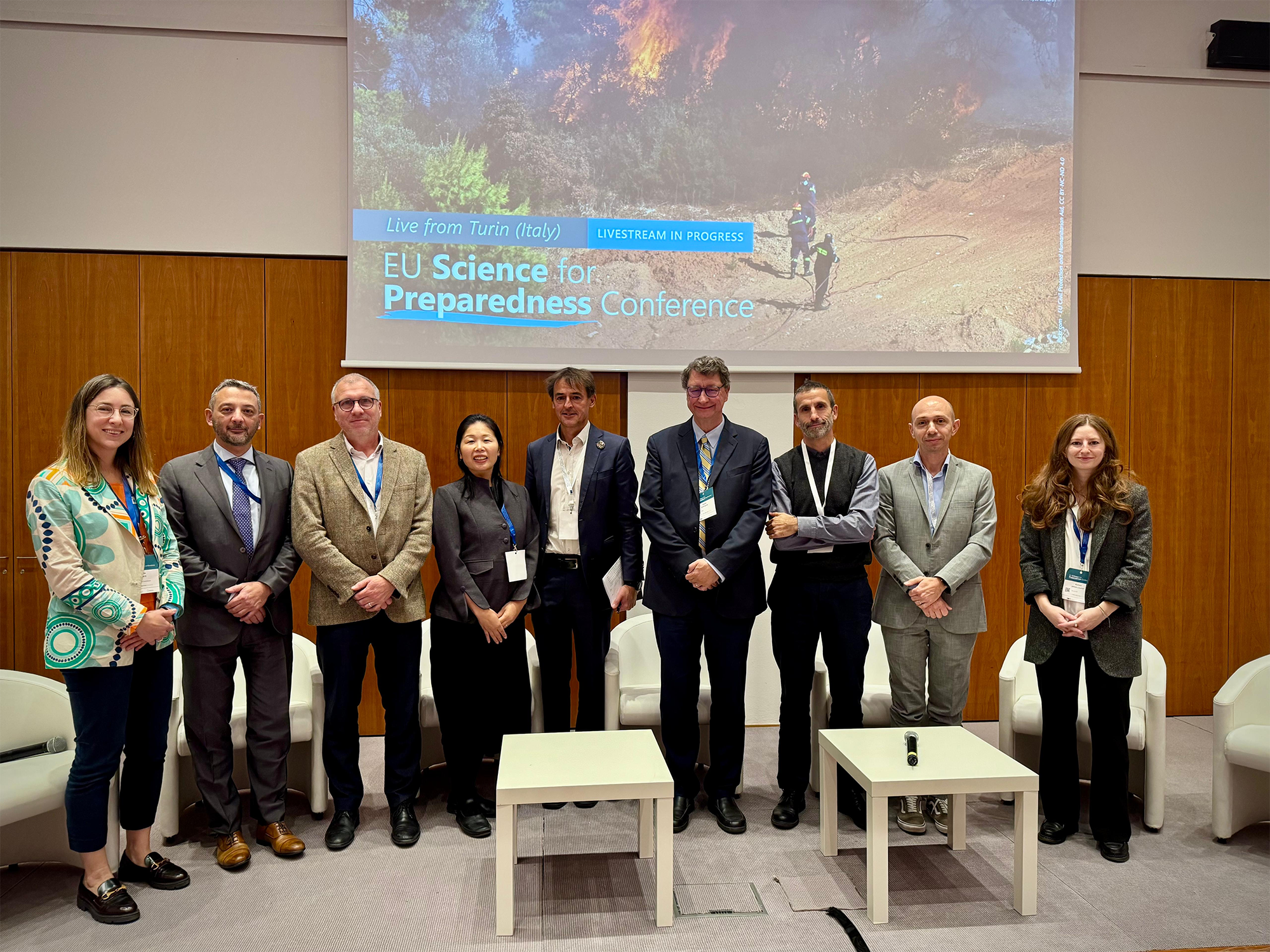
What struck me most at this year’s EU Science for Preparedness Conference in Turin was how international cooperation around disaster preparedness is expanding, with eager partners ready to turn global datasets into real-world action.
Over three days, I organised two sessions, each revealing how much appetite there is for practical tools countries can trust.
Copernicus EMS goes global
In our Wednesday session on the International Dimension of the Copernicus Emergency Management Service (CEMS), one message stood out: CEMS is no longer just a European service, but a global asset.
Rui Kotani from the GEO Secretariat made this point by showing how GEO’s Earth Intelligence approach helps partners put CEMS services like the Global Wildfire Information System (GWIS) and the Global Human Settlement Layer (GHSL) to work. GEO's Post-2025 GEO Work Programme encourages this push from research to operations, engaging countries to co-develop Earth observation-based tools and services.
A strong example is the Human Planet Initiative (HPI), which is creating synergies across GEO communities, working closely with the Global Heat Resilience Service, GEO Blue Planet and GEO Mountains. These collaborations help countries address risks, from urban extreme heat to coastal hazards to mountain vulnerabilities, while supporting the global implementation of the Early Warnings for All initiative.
We also heard concrete examples of CEMS supporting regional cooperation, such as the wildfire expert group in Latin America backed by the Directorate-General for International Partnership, where science, diplomacy and operations reinforce one another.
But there remains a lack of awareness. Luca Rossi from the UNDRR Africa Office highlighted a recent survey showing that while 45% of disaster risk knowledge experts working with his office knew about Copernicus, only 22% reported using it.
Closing this gap will require a sustainable approach to capacity building.
Copernicus EMS goes global
On Thursday, our session on CEMS exposure mapping through the Global Human Settlement Layer (GHSL) brought together an engaged group spanning emergency response, academia and urban planning. The diversity of users reflected just how broadly GHSL data is applied, from aviation safety to earthquake modelling to pesticide exposure.
A key focus was on the feedback from partners working directly with GHSL data. One example is the collaboration with UN-Habitat on the Degree of Urbanisation, a harmonised method to define cities, towns and rural areas.
During a recent training in Ghana, national authorities asked for support in redefining their urban areas using this approach. This is exactly the kind of collaboration we need: a methodology co-developed with international partners and then adapted with countries through hands-on training.
What’s next
Across both sessions, we heard about how countries want science they can use and systems that evolve with their needs. The next step is to strengthen these global connections, linking CEMS, GEO initiatives and international partners, so that the Earth observation tools and services serve everyone preparing for the risks ahead.